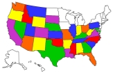
Paonia Ride 2009
July 23, 2009
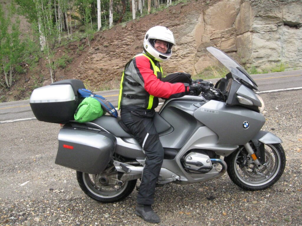
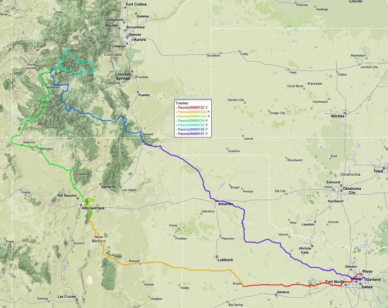
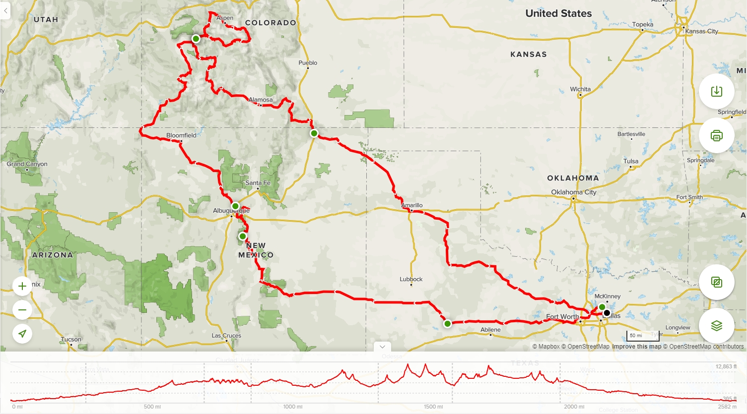
The Lone Star BMW Riders had around eight of our members riding to Paonia, CO for the Top of the Rockies rally hosted by the Colorado Beemers. Alan and I would be riding together leaving Wednesday after work and meeting with the rest of the riders who had left Saturday wandering through Arizona and Utah.
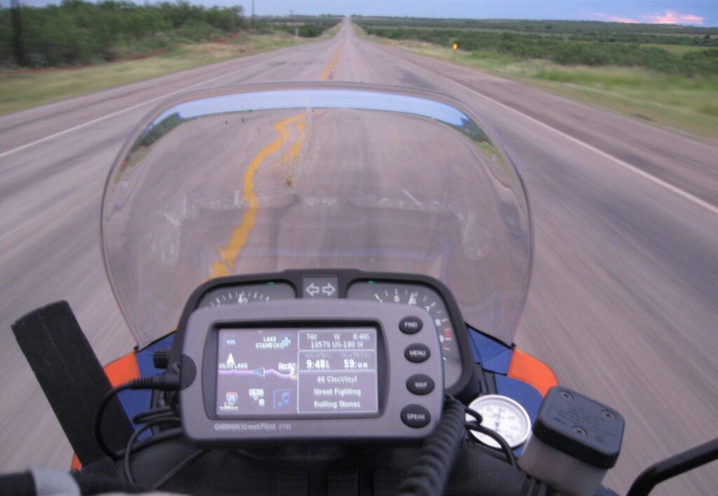
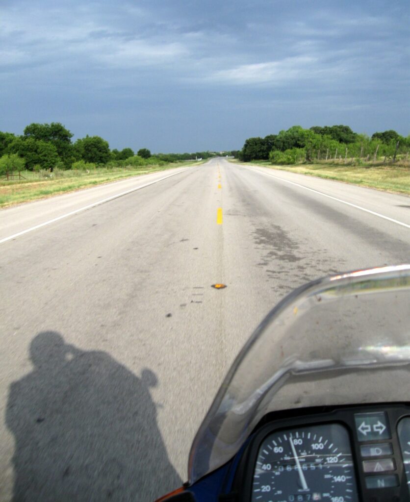
Alan met me at Weatherford after work so we could get a jump on getting out of the Texas heat by riding to Snyder in the evening. The cool temperatures left over from the afternoon showers were a surprise as we neared Snyder. The ride was enjoyable and Elke was running very smoothly punching through the still evening air.
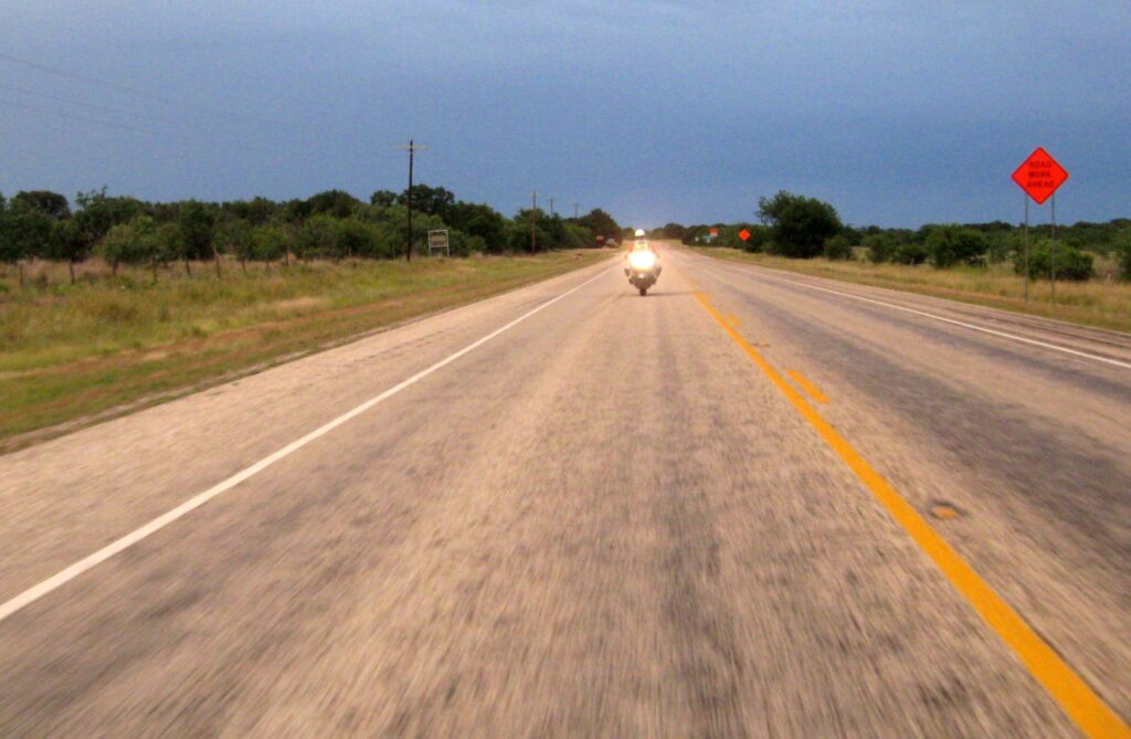 |
What looked like campfires on the horizon turned out to be the red lights of the wind turbines flashing and blinking with the turns of the blades. It was a strange site from 25 miles away. We are staying at the Purple Sage Motel and Laundromat (no, I’m not making this up, Alan). Tomorrow we head out early to make a meandering ride north of Ruidoso and around the back side of Sandia Peak to our next stop, Bernalillo. It’s good to be on the road again.
July 24, 2009
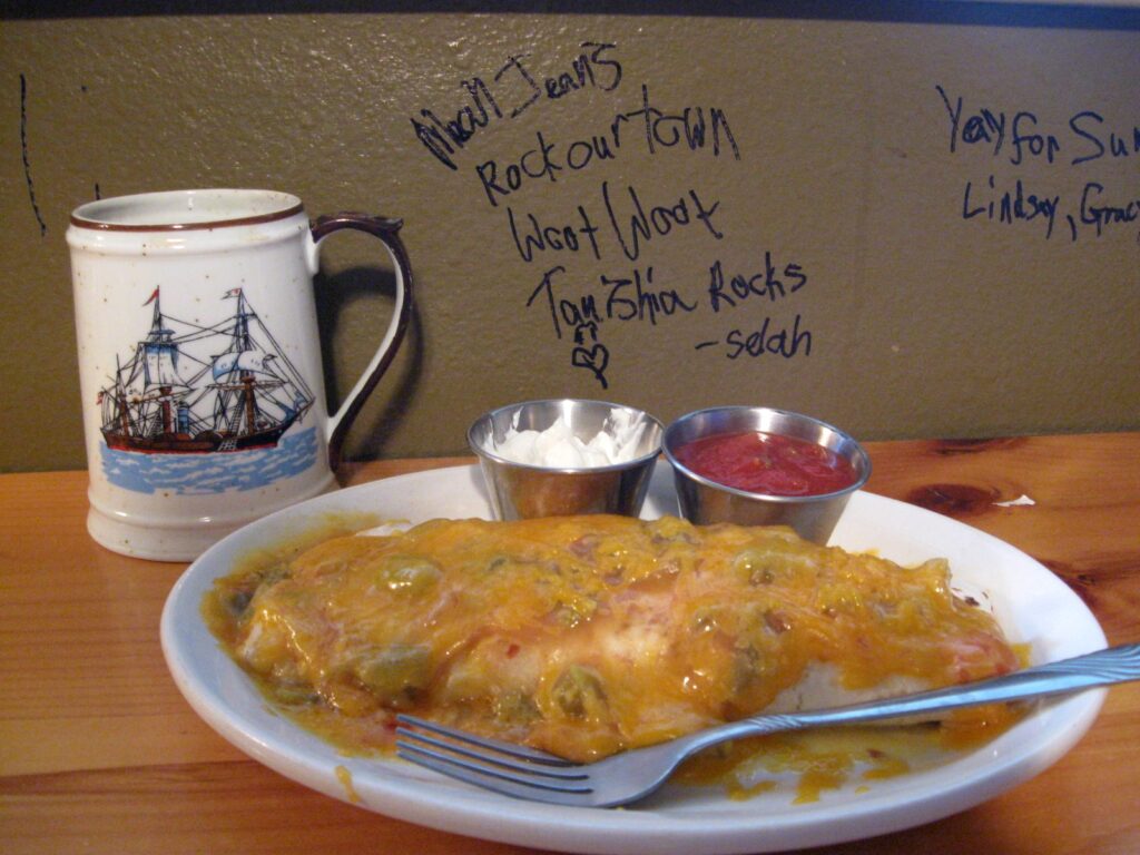
We left the Purple Sage Motel in a semi-deluge of rain that sat on Snyder all night. Drizzle and occasional rain stayed with us all the way to Roswell. We found a great burrito place southwest of downtown Roswell called Burritos and More. This place was doing tons of local business, and green chili steak and red chili chicken burritos were great and quickly prepared.
I told Alan the ride would get interesting and nice as soon as we headed out of Roswell towards Ruidoso. We cut north through 380, and the gentle twists along the foothills were just what the doctor ordered. We took back roads (Hwy 55) towards Albuquerque and wound up on the east side of Sandia Peak.
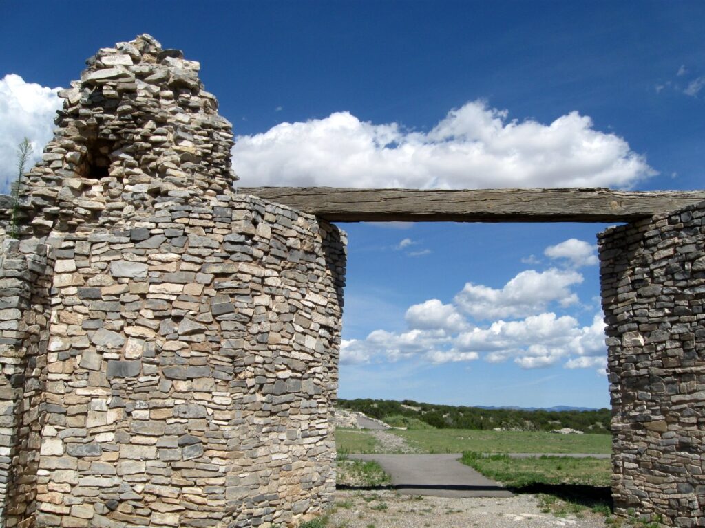 |
We stopped by the Quivira Ruins, which was a unexpected treat out in the middle of nowhere. |
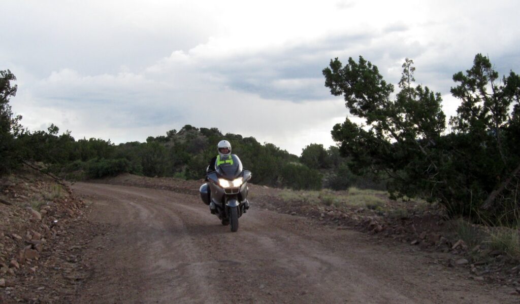
Remember the interesting part I told Alan about? What transpired next was not in the original route plan. I missed the Sandia Crest road and turned on the next that the GPS was indicating. I did not notice we had missed the planned road until we were way down La Madera Road, which started out as a twisty, interesting mountain road, and then went to gravel.
 |
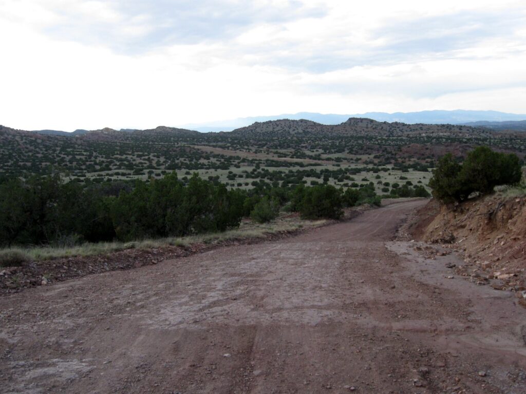 |
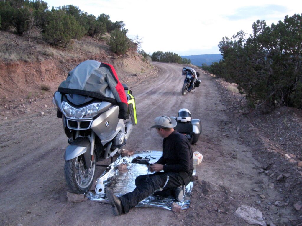
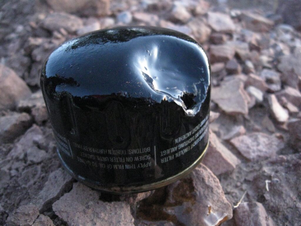
I was semi-expecting my original route to have a short stretch of gravel,but this road went to goat trail variety very quickly. As we were making our way down a rutted section, Alan hit a rock which launched up into his oil filter, spilling the crankcase and setting off his warning lamps. I walked back up the hill and we crawled under the bike to figure out the best plan of action.
 |
 |
We called the Albuquerque dealer, but they were closed as we expected. So, the next stop was the BMWMOA Anonymous book to look for a rider close by. The first call to Jack in Sandia Park was the jackpot, so to speak. Jack rides a R1200GS, and he had a filter. I left Alan alone with his bike and bobcats and bears and rode another rough road to Jack’s house up in the hills. He gave me tools to remove the filter as well. I returned back south on the highway to pick up oil, and did La Madera on through the gravel goat trail back to Alan. After a return to Jack’s house to return tools, we rode south in the dark through Albuquerque along Tramway Road along the twinkling lights of the city and up to Bernalillo for our night’s stay. What an ADV day…
| Luckily, we finished the repair before darkness fell. |  |
July 25, 2009
| After a very well-deserved sleep, we awoke to nice weather, pancakes and breakfast burritos cooked outside in the camp. We hit the road as soon as possible to make our way west. | 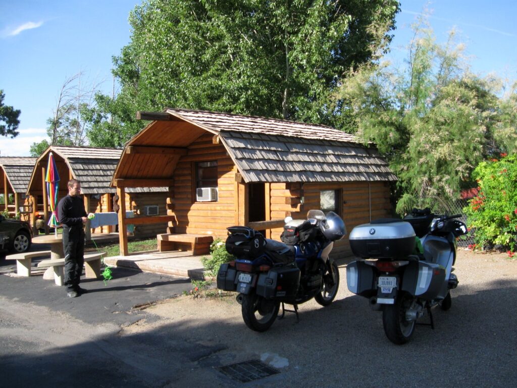 |
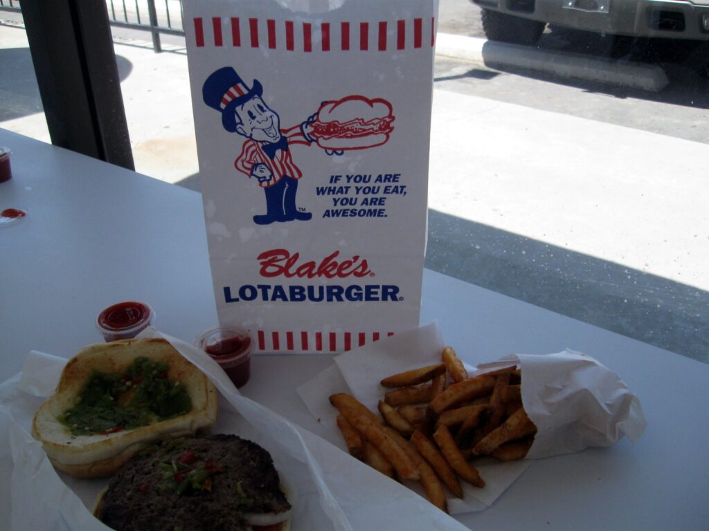
The roads were wide and good towards Farmington – quite a contrast to yesterday. We stopped at Blake’s for lunch, which was required as part of a recommendation by Jerry.
 |
 |
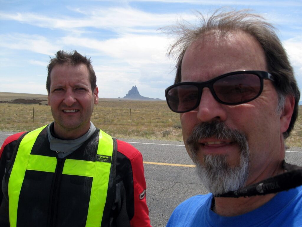
Alan knocked out more change approvals via the Blackberry both at Blake’s and out in the desert at Shiprock. Oh boy, technology keeps us working even on a ride. Woo hoo…, something’s wrong here…
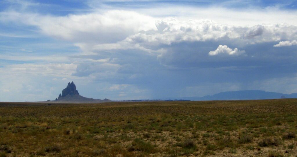 Shiprock is a prominent object for miles. |
 |
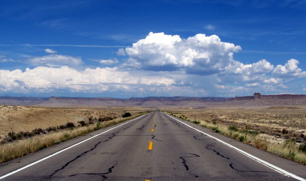 On the Colorado border along Hwy 160. |
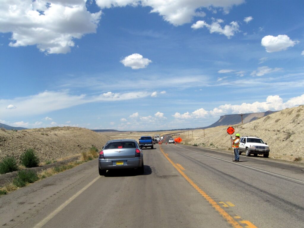 |
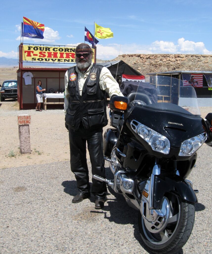
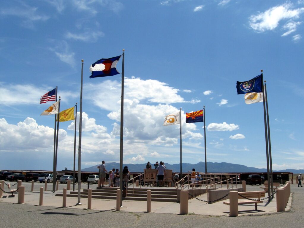
| We finally ran into a 20-minute construction delay just north of the Four Corners, of course when it was 102 degrees… |
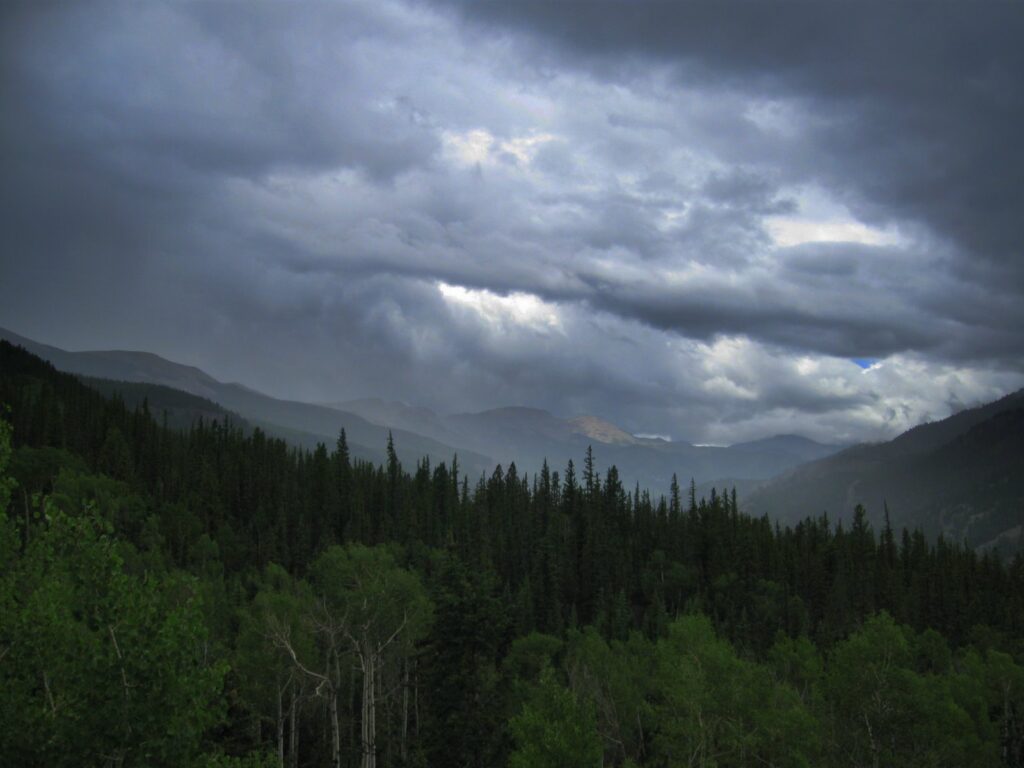
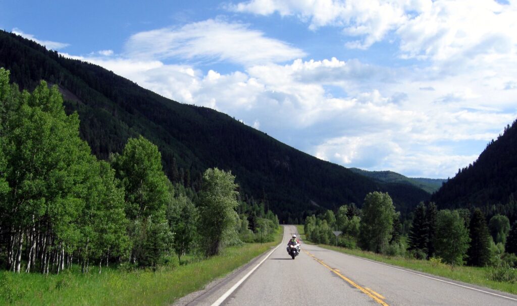
We stopped briefly for fuel and a cold drink in Cortez, CO. We turned onto Hwy 145 and headed up the canyon. The vegetation quickly changed from desert scrub to green trees and pastures. As the altitude rose, the temperatures dropped and the scenery just became postcard material at every turn.
 |
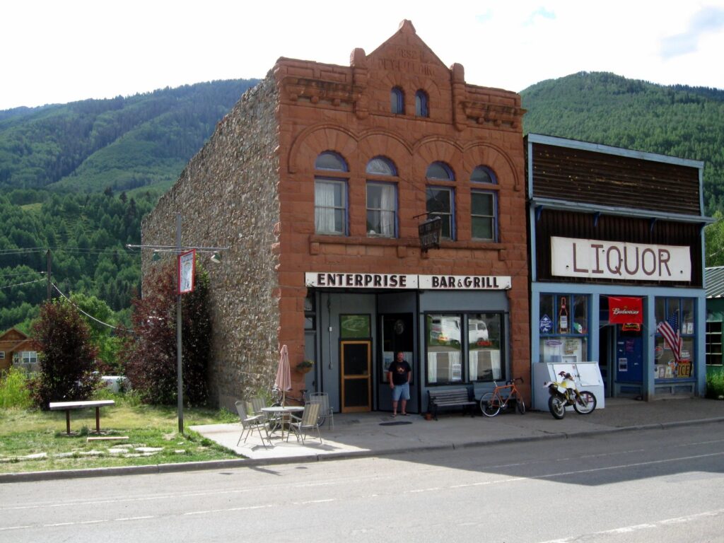 Stoner, CO Stoner, CO |
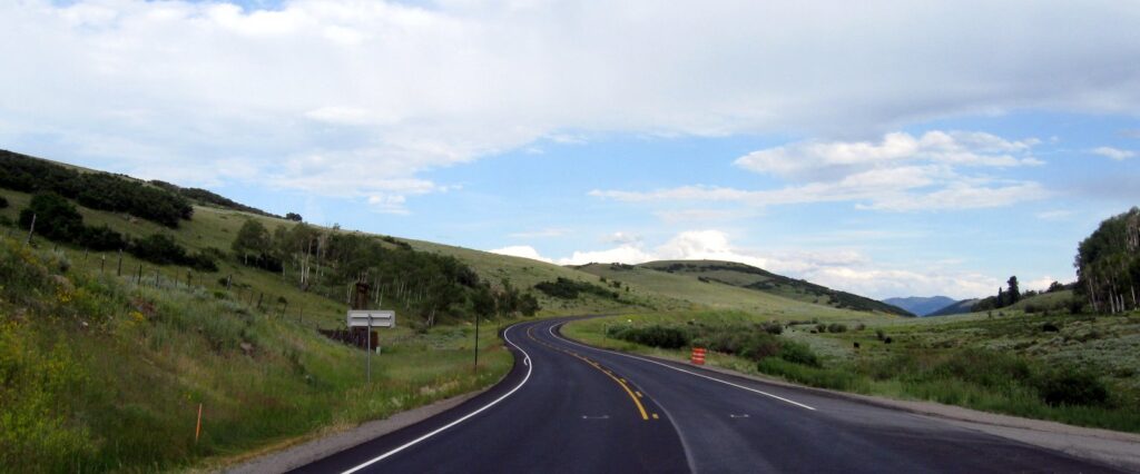
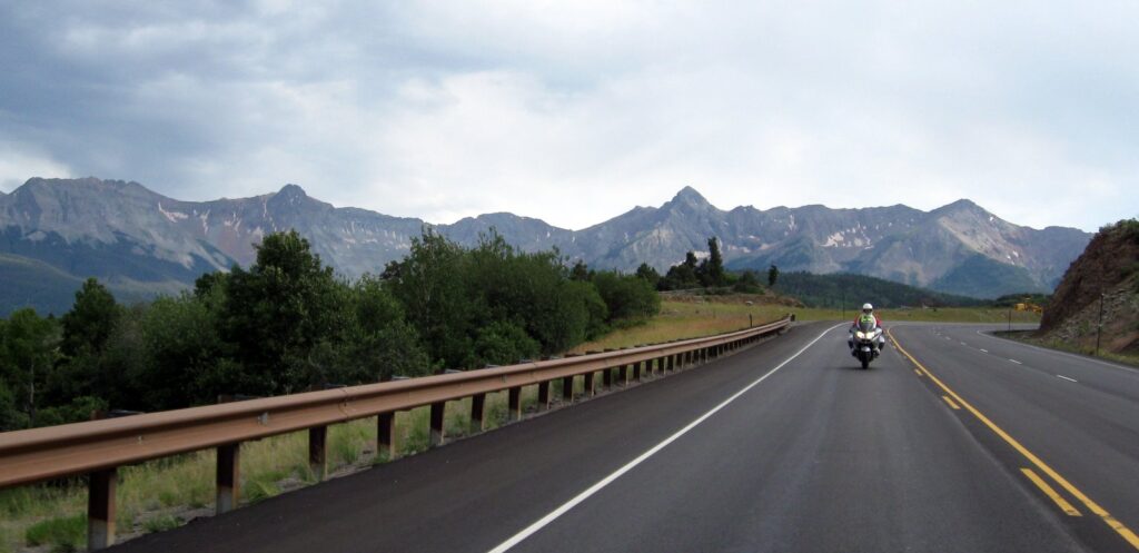
The Telluride area was beautiful, with green fields and trees, and rugged mountains rising in the background.
 |
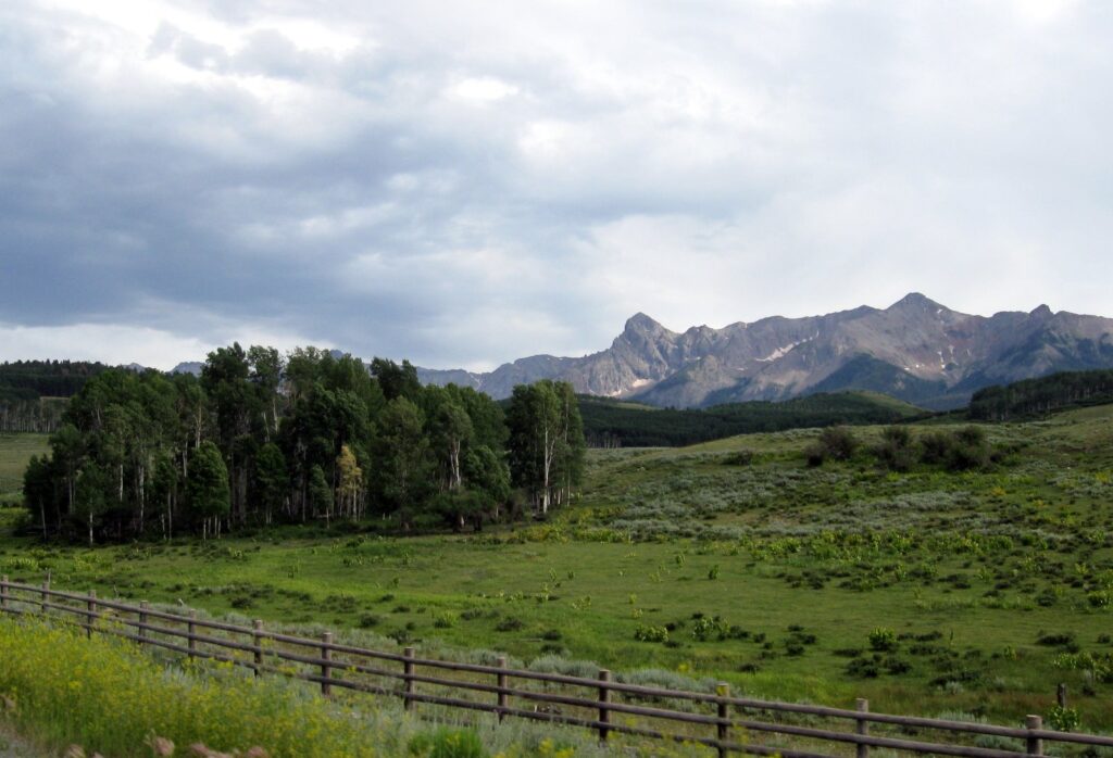 Just west of Telluride Just west of Telluride |
 |
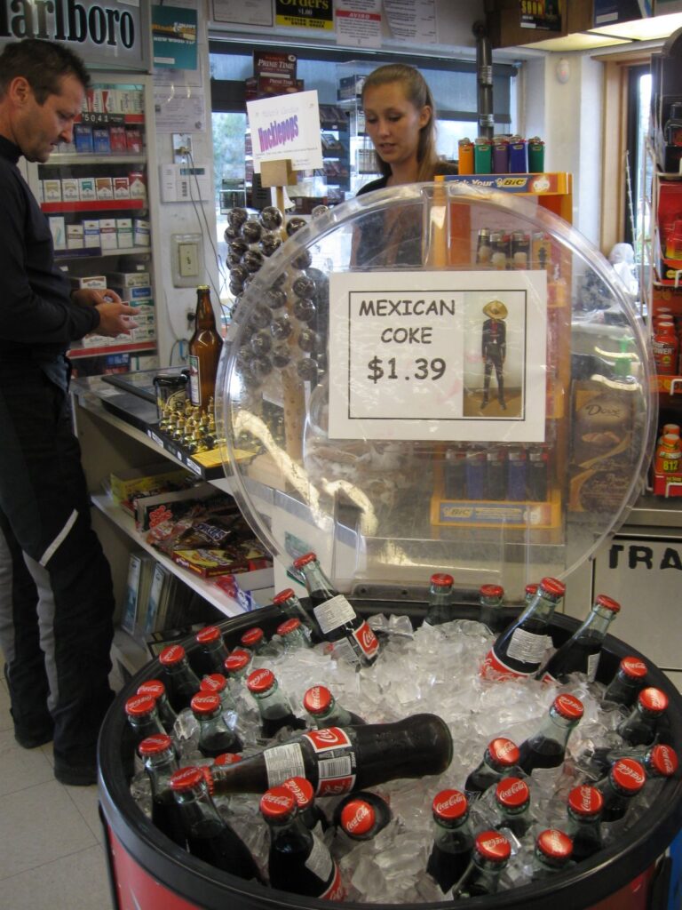 Rest at Ridgway on Hwy 550 to have a Mexican Coke Rest at Ridgway on Hwy 550 to have a Mexican Coke |
The sun was getting low in the sky as we approached the Hotchkiss/Paonia area. At the rally site, we met up with Bob, Keith, Allan, Thomas and Tom and set our tents up next to their camp.
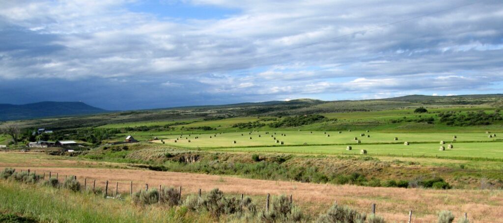
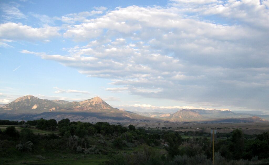 South of Paonia |
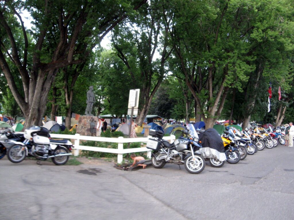 Paonia city park rally site |
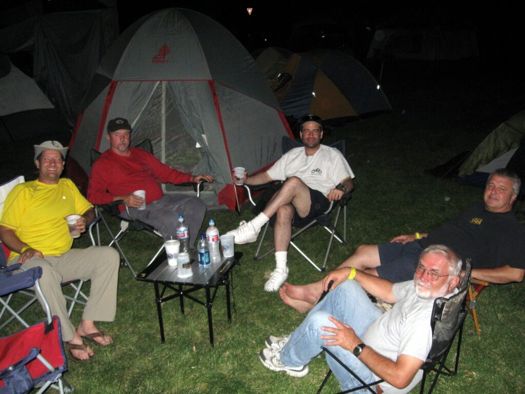 The survivors of Paonia 2009. Long story… |
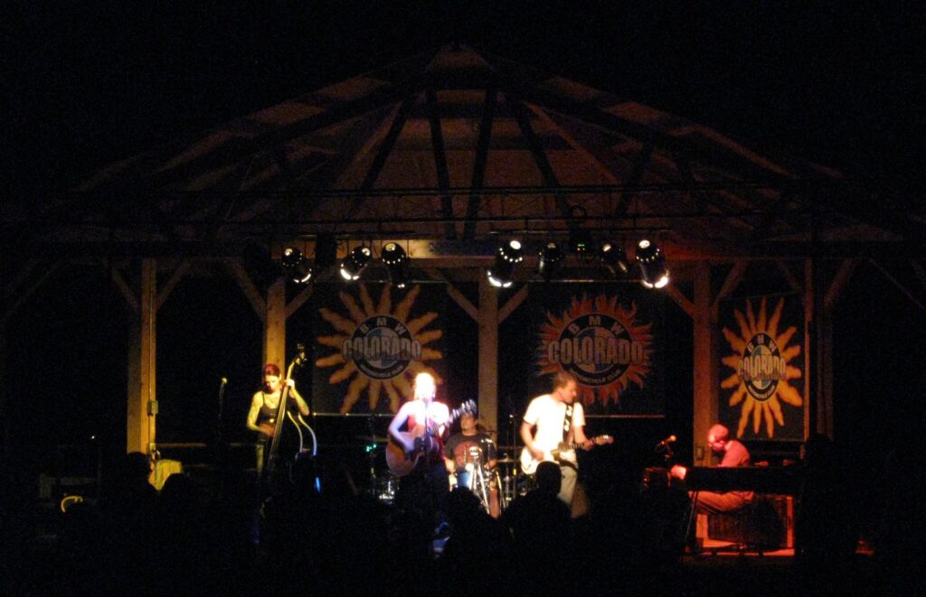 Angie Stevens and the Beautiful Wreck provided great music into the night |
July 26, 2009
 |
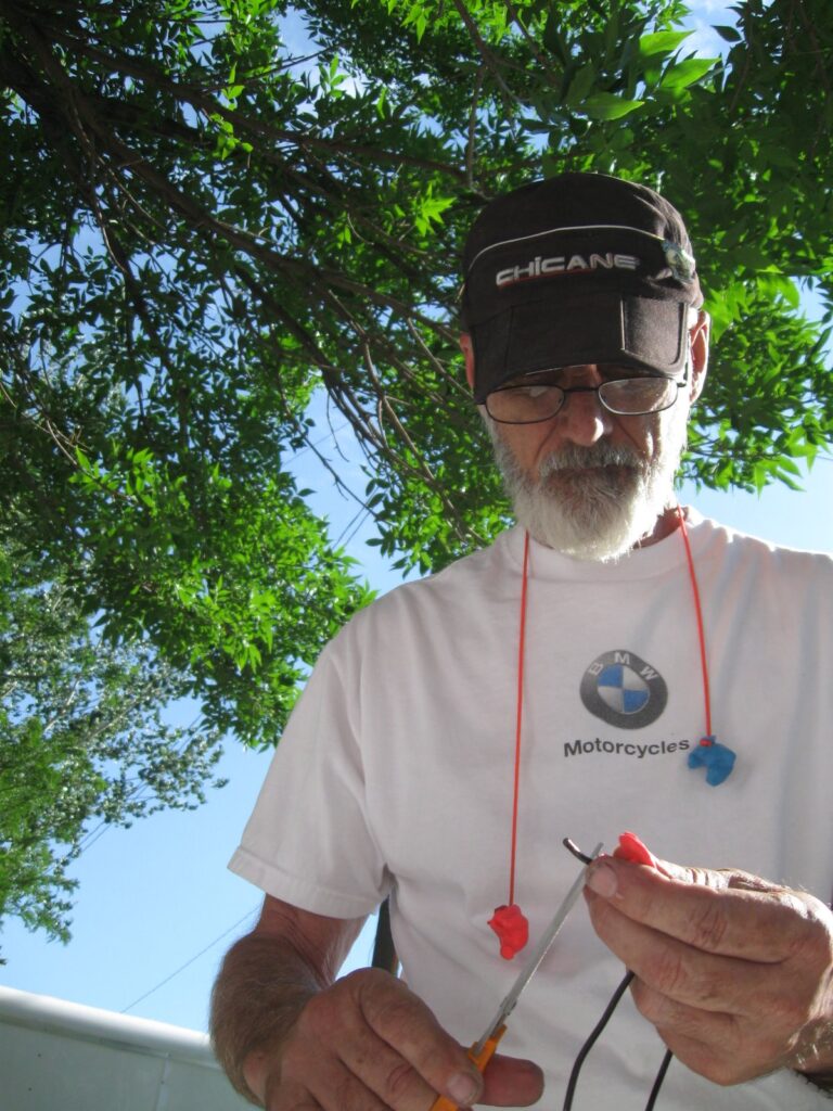 |
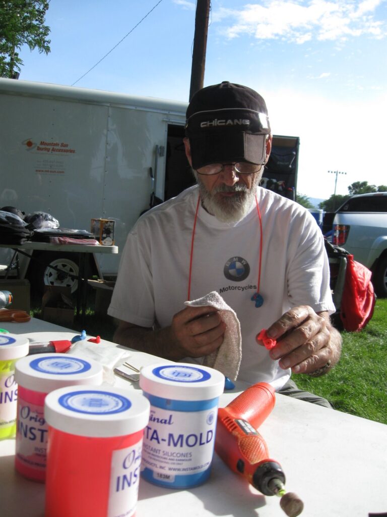
Arizona Al Schibi made me a set of molded ear plugs with acoustic tubes connecting to the audio transducers below. What a difference that made on the road with quality sound piped right in through the plugs instead of having to drive my helmet speakers at 100% off of my XM satellite receiver to get through my ear plugs.
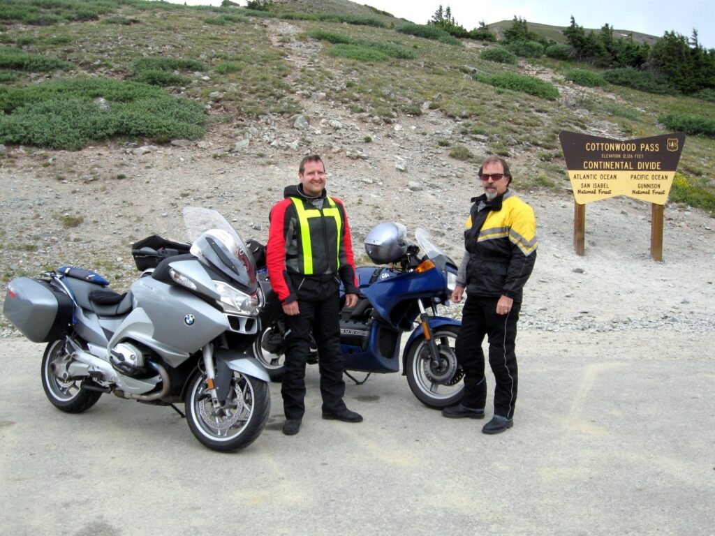
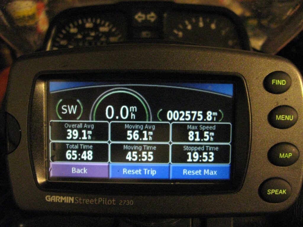
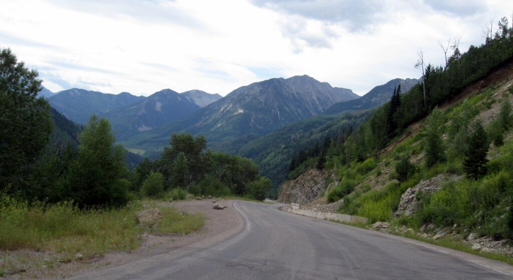
We had breakfast and headed off for a 270-mile loop around through Aspen, Independence Pass, Cottonwood Pass, Crested Butte and back to Paonia.
 |
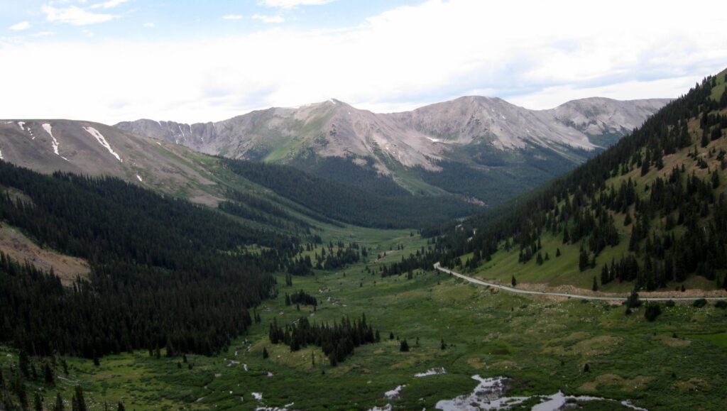 |
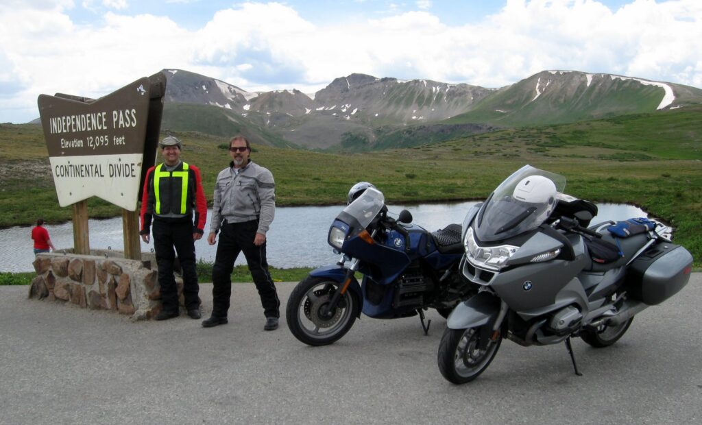 |
12,095 feet at Independence Pass |
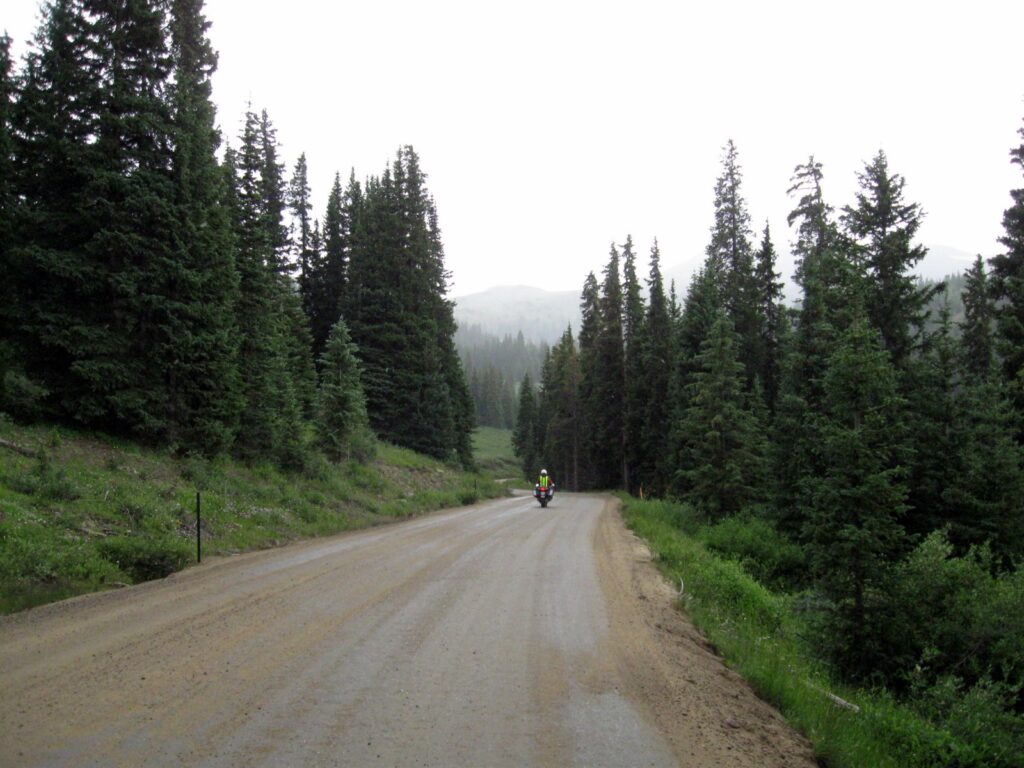
By the time we reached Crested Butte, we were ready for a pint and some relaxation up on Eldo’s deck. The sun was shining, and the crowds below fun to watch. We headed out towards Kebler Pass to return to Paonia, and wound up doing a 31 mile stretch of gravel road on CR-12, as if Alan had not already had enough GS for this trip.
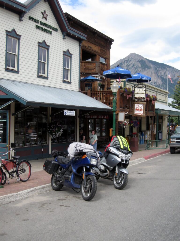 Eldo’s in the background, and Mt. Crested Butte way back there. |
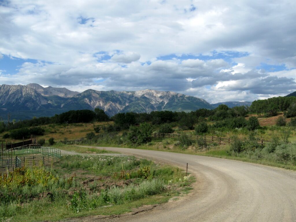 More gravel roads for Alan’s enjoyment. |
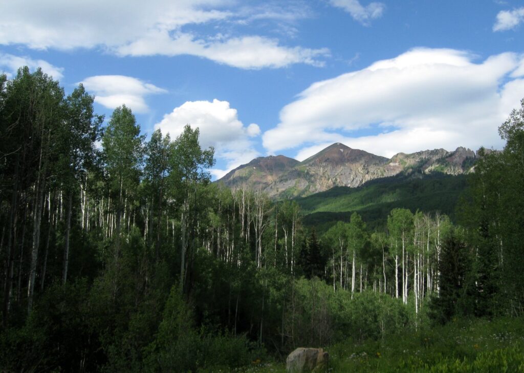 |
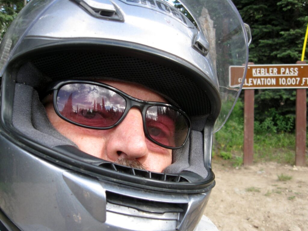 Kebler Pass – we keep counting them up… |
July 27, 2009
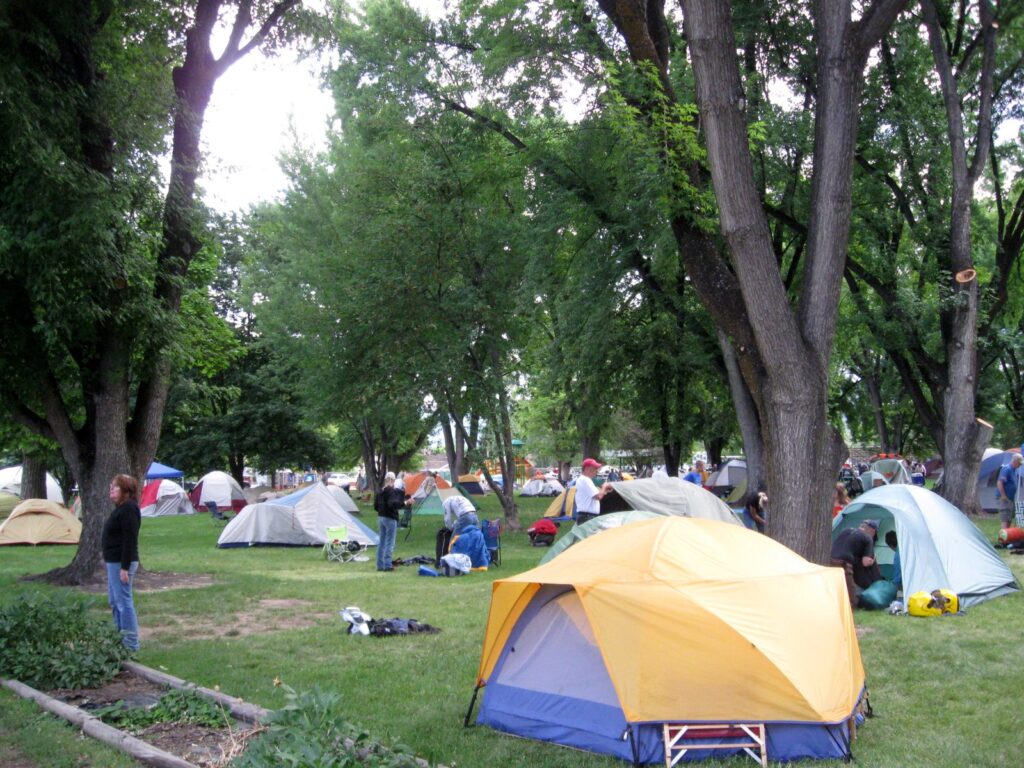 |
Everyone packing up at Paonia Park for their return journey |
Bridgekeeper: Stop. Who would cross the Bridge of Death must answer me these questions three, ere the other side he see.
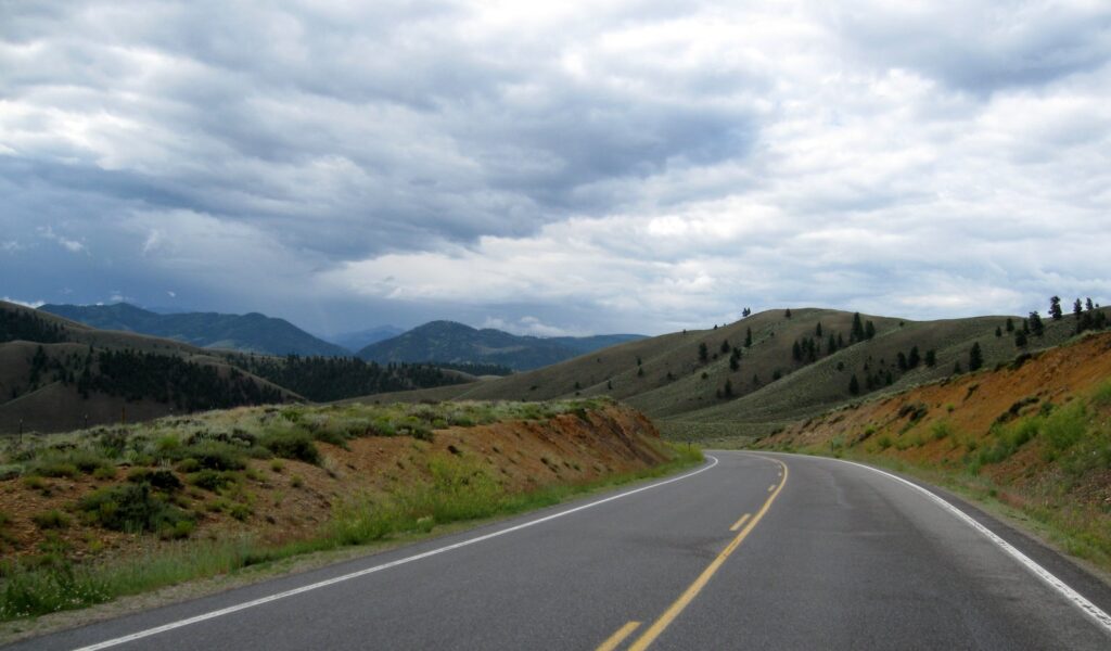
| We worked our way towards Creede, and tried to get ahead of another storm moving in. |
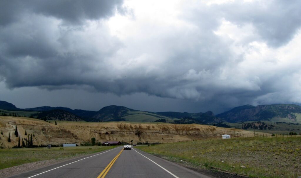 |
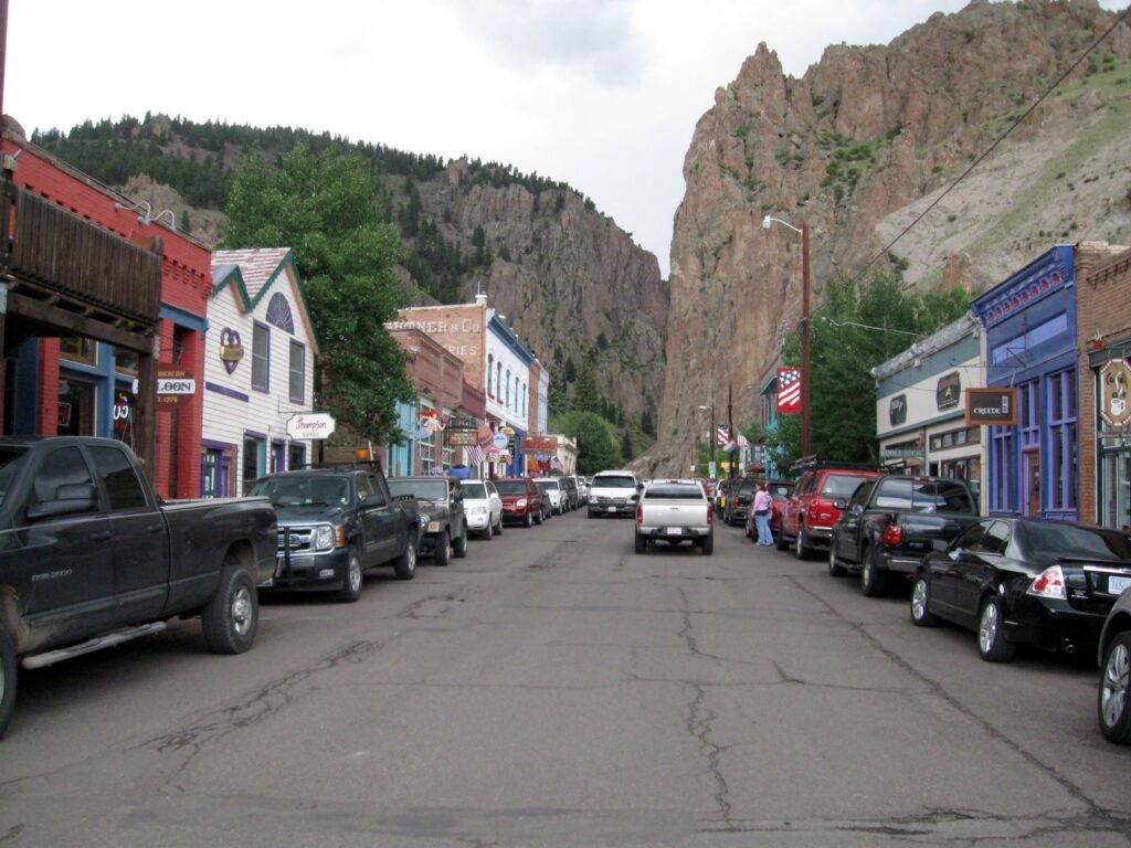 I’m bringing Debbie back to Creede |
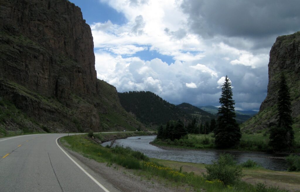
Rio Grande River just south of Creede. |
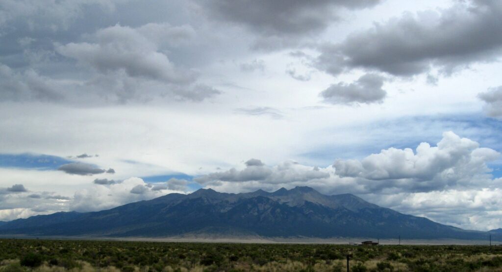 Blanca Peak, southwest of Westcliffe, CO |
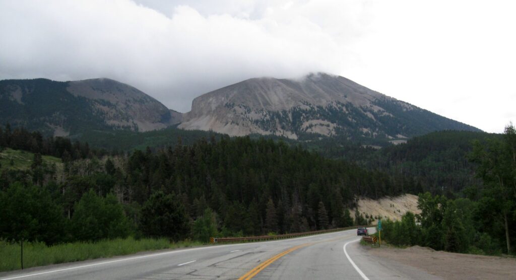 Spanish Peaks just south of La Veta Spanish Peaks just south of La Veta |
 |
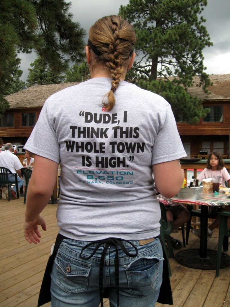 |
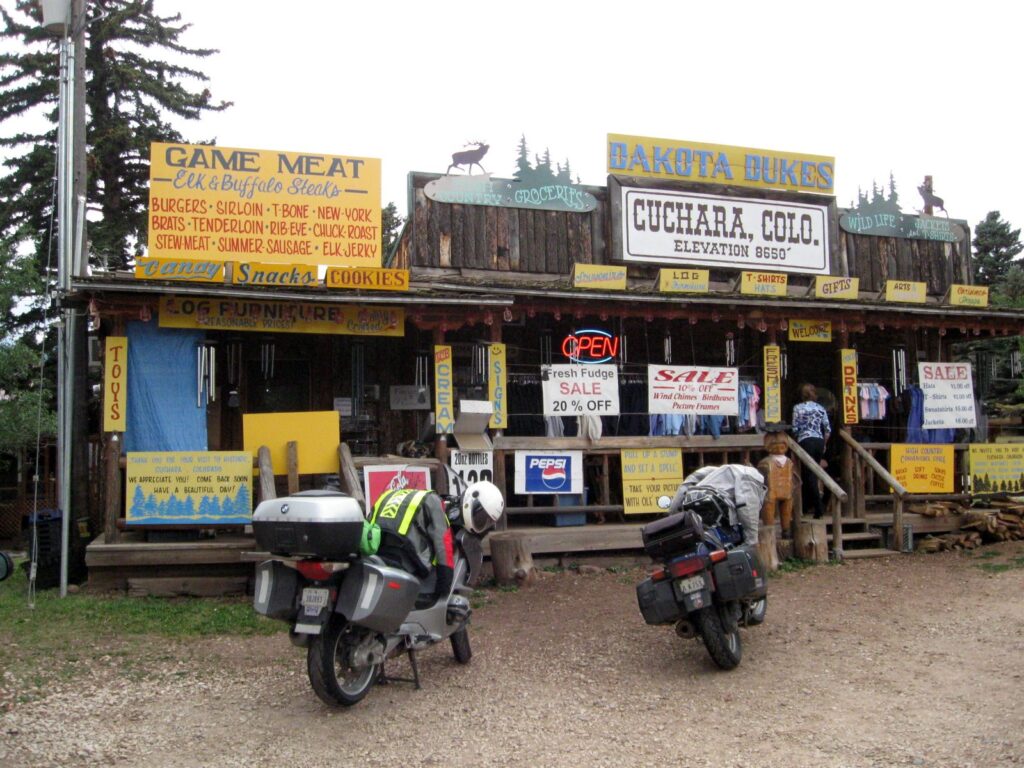
This is my 4th time to go through Cuchara, and it is great each time I have visited.
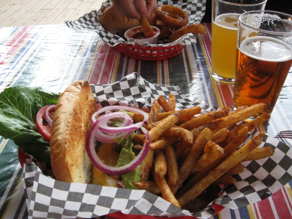 One tasty southwestern chicken sandwich. One tasty southwestern chicken sandwich. |
 |
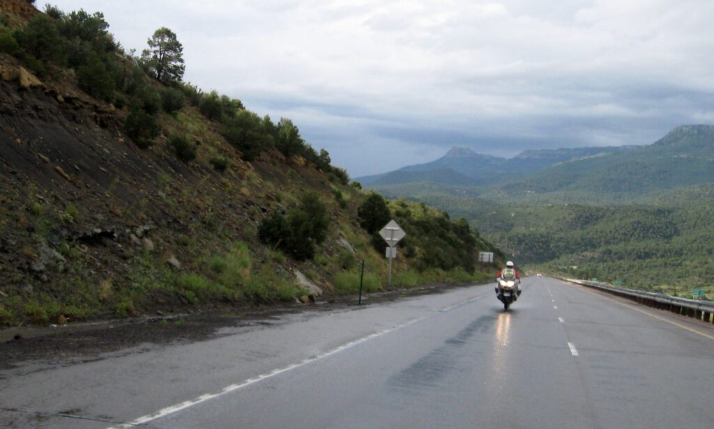 |
Making our way up Raton Pass. |
 |
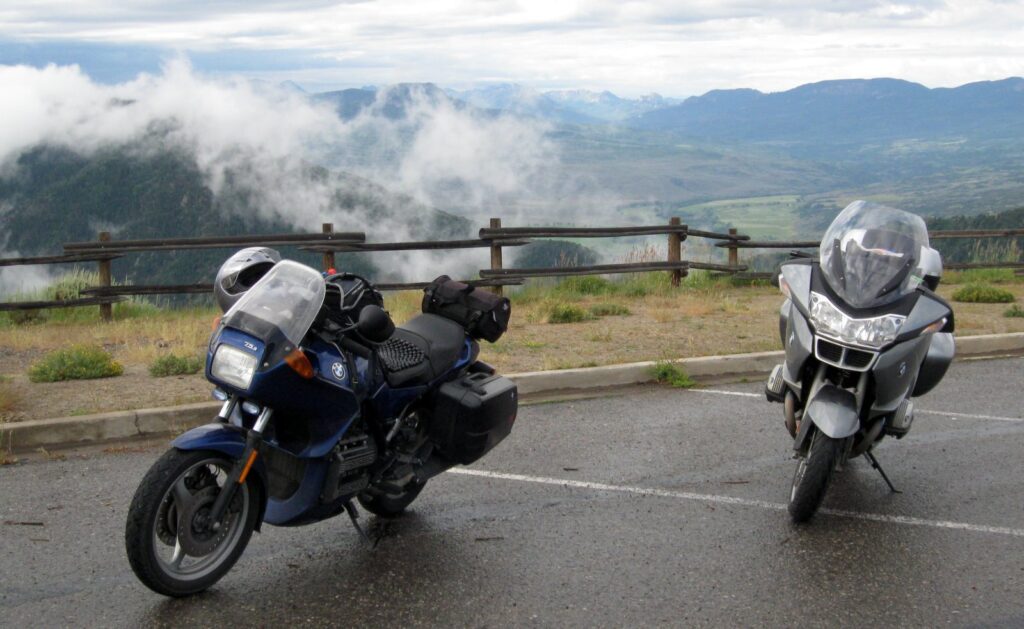
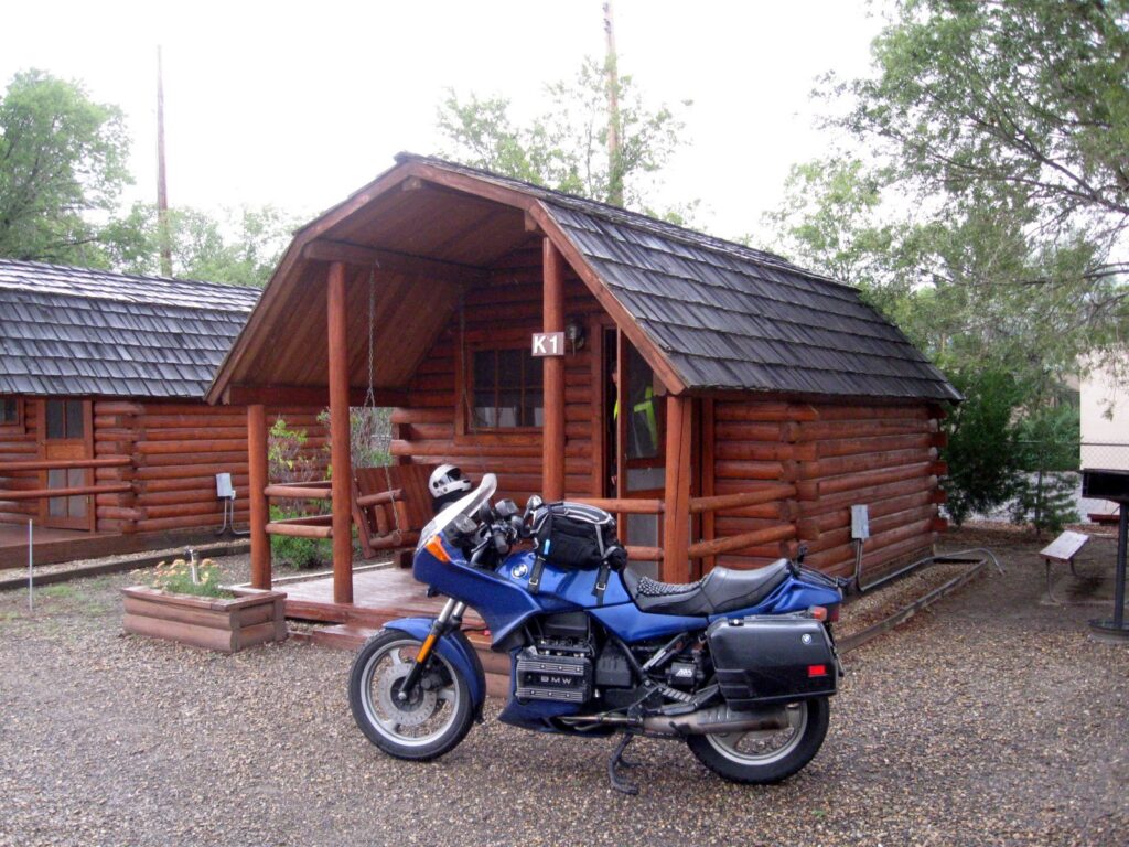 Kabin K1 for Elke, my K75. Lots of K’s here. |
July 27, 2009
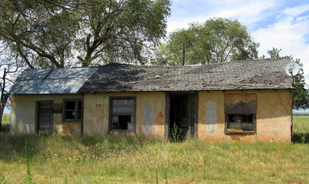 Note the Dish TV antenna… Note the Dish TV antenna… |
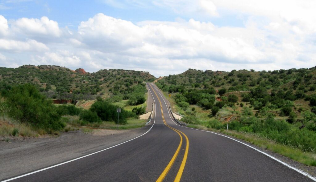 Hwy 70 – wow! Hwy 70 – wow! |
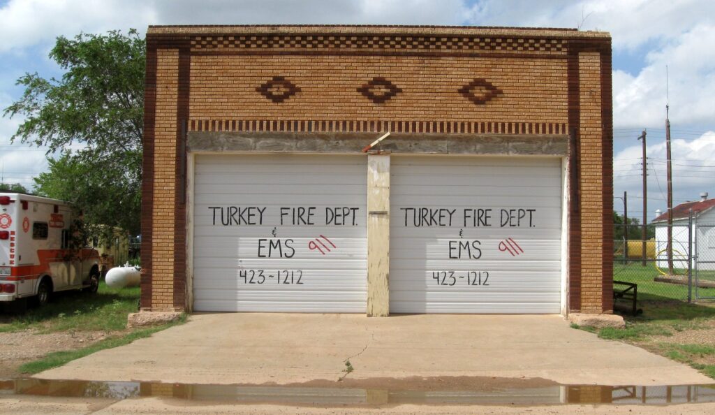 If you’re a sign guy, you might pick up some work in Turkey, TX. If you’re a sign guy, you might pick up some work in Turkey, TX. |
 |
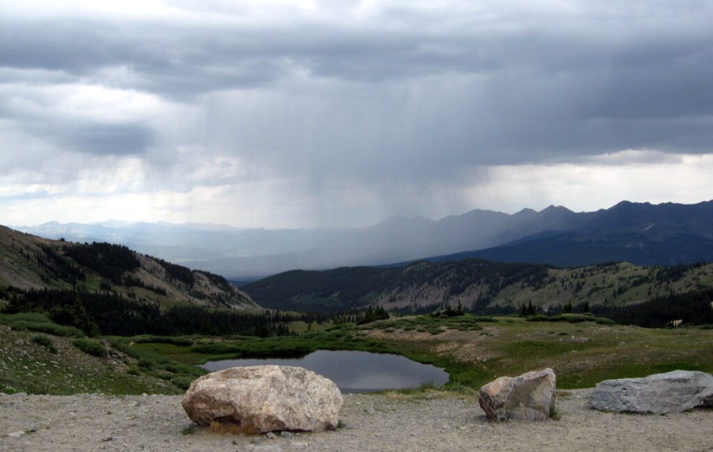
When I was planning the route, I did not really think out how many mountain passes we would traverse over the course of the ride. By the time we crested Raton Pass on the way home, we had done 10 of Colorado’s 53 major passes, and had done the two highest Colorado passes on paved and improved roads.
7/24/09 – Lizard Head Pass 10,222 ft
7/24/09 – Dallas Divide 8,970 ft
7/25/09 – McClure Pass 8,763 ft
7/25/09 – Independence Pass 12,095 ft
7/25/09 – Cottonwood Pass 12,126 ft
7/25/09 – Kebler Pass 10,007 ft
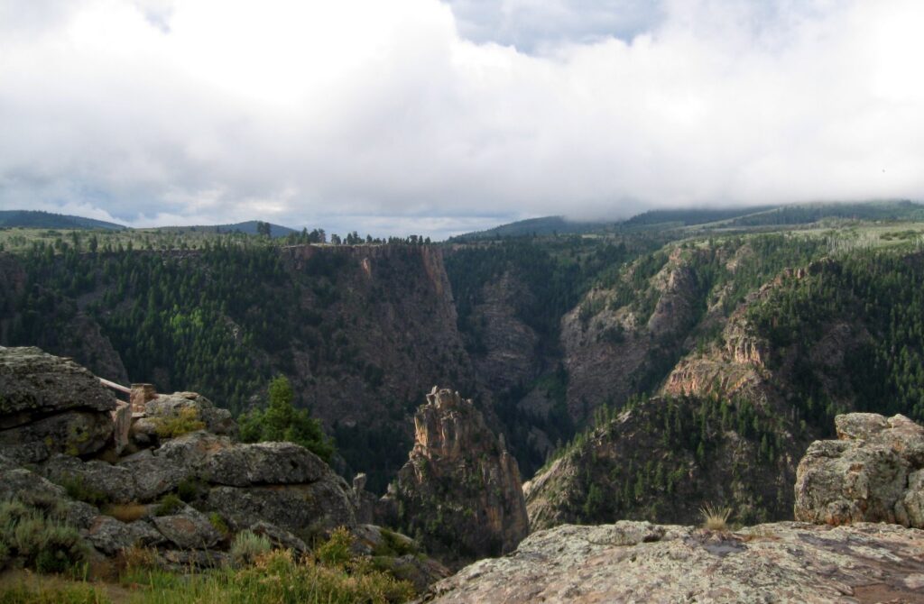
7/26/09 – Slumgullion Pass 11,361 ft
7/26/09 – Springcreek Pass 10,901 ft
7/26/09 – Cuchara Pass 9,941 ft
7/26/09 – Raton Pass 7,888 ft
Photos https://photos.app.goo.gl/q5YzDtxMqjMGZttH9
Tracklog https://www.alltrails.com/explore/recording/20090722paoniaride–20090723

