Montana Big Sky Rally – Into the Unknown
August 21, 2013
Robert and Sylvie Torter orchestrated an enticing 32-hour rally based out of Big Sky Montana. I was looking forward to it for months. My ride into Colorado in July was somewhat of a training event since I had not been on the bike for a while. Only the bonus waypoints were released early, and there was no information on point values or other key multipliers. The only thing I knew was that the rally would focus on the Lewis and Clark expedition into the area notated as “Unknown” on the maps of their time.
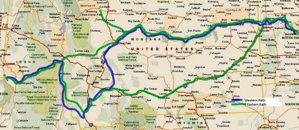
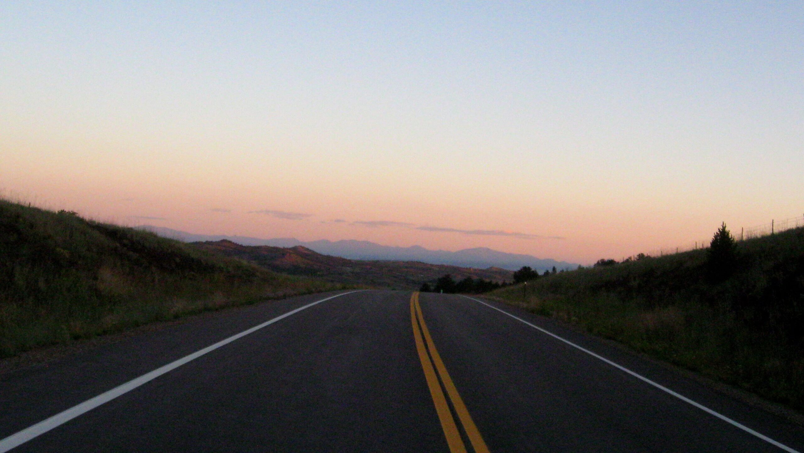
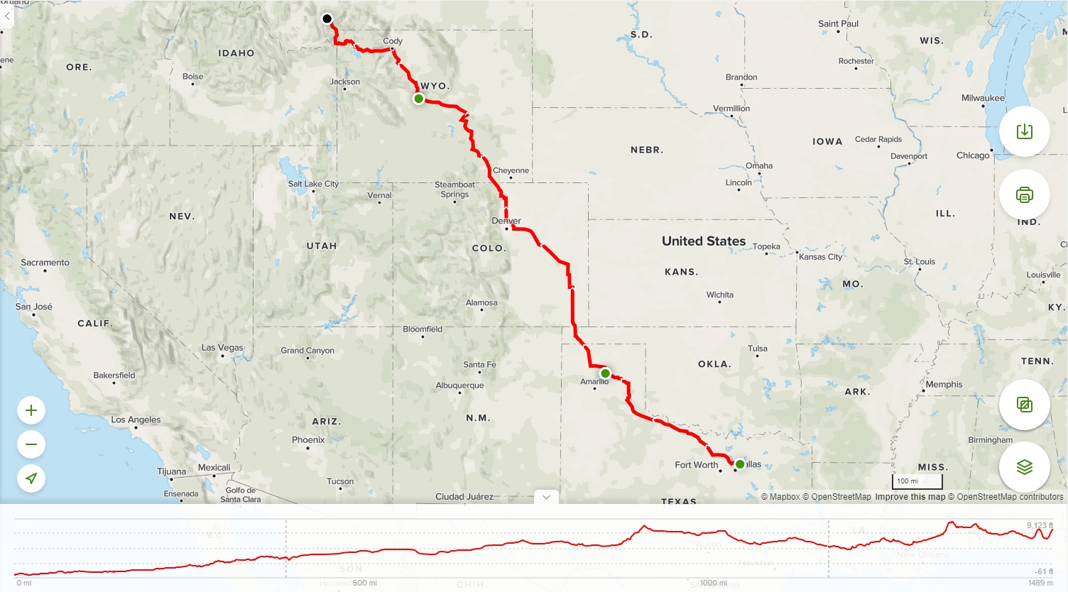
There was not too much to plan in advance for the ITU other than figuring out how to arrive in Big Sky by 3:00 in the afternoon Friday. I left work early to get out of town before the traffic thickened. The ride this afternoon was to Borger in the Texas Panhandle. The temperature was not bad, considering August in Texas. Highway 273 out of Hedley was a welcome change to 287 as it cut north east of Amarillo and wound its way through rolling hills that I did not know to exist. I arrived at the fairly plain Royal Inn in Borger just after the sun set, and I fueled up for the early departure the next morning.
-

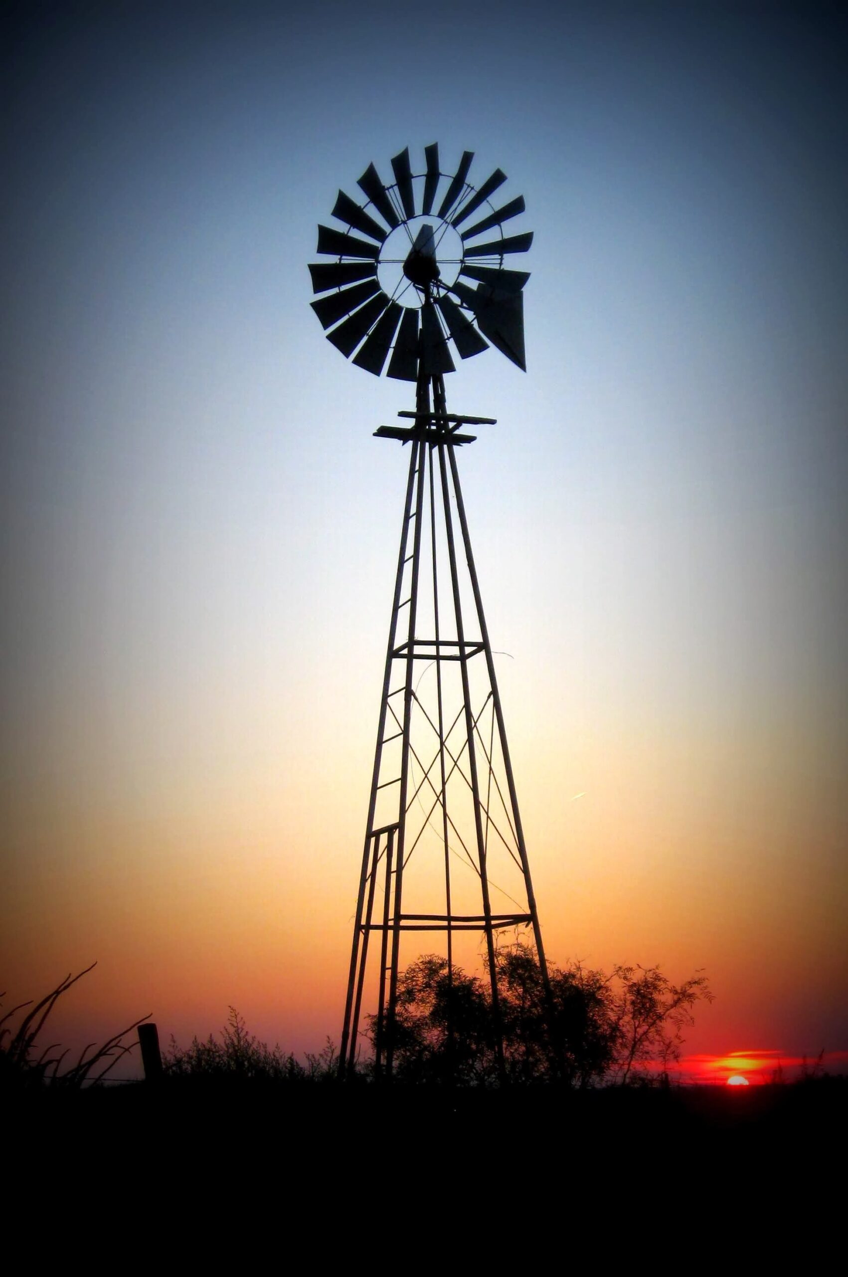
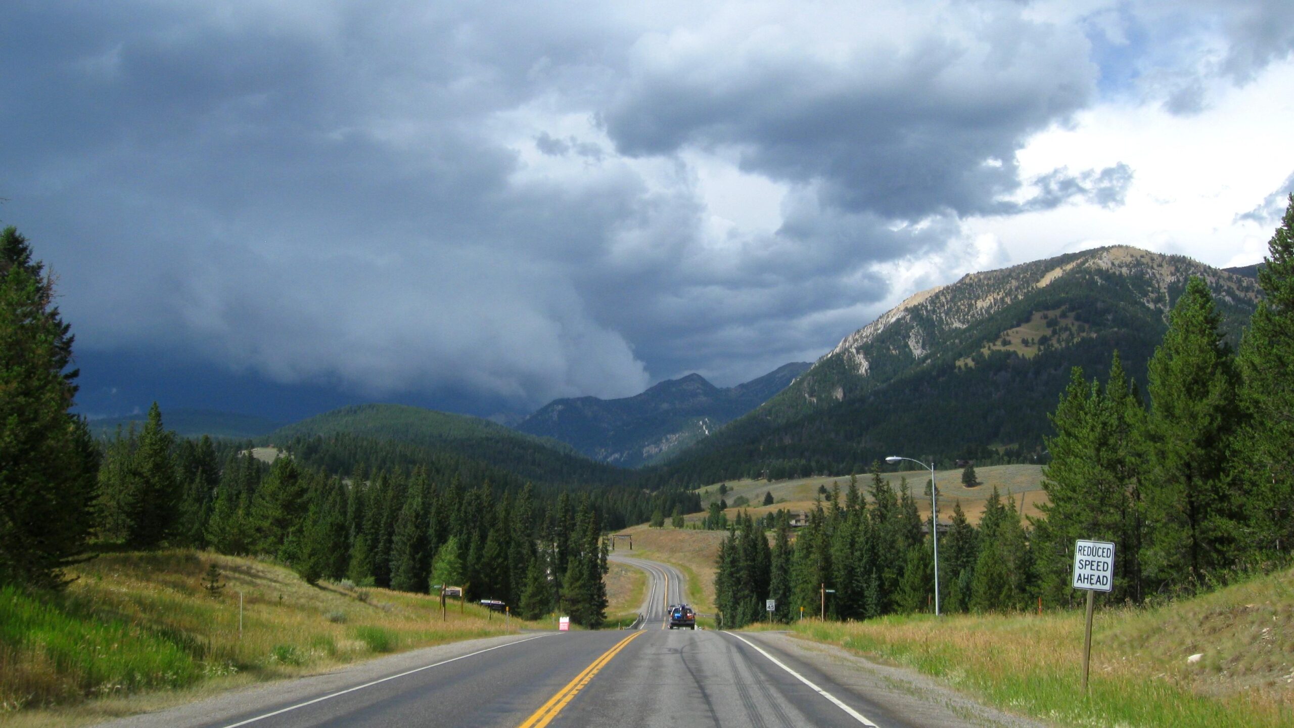
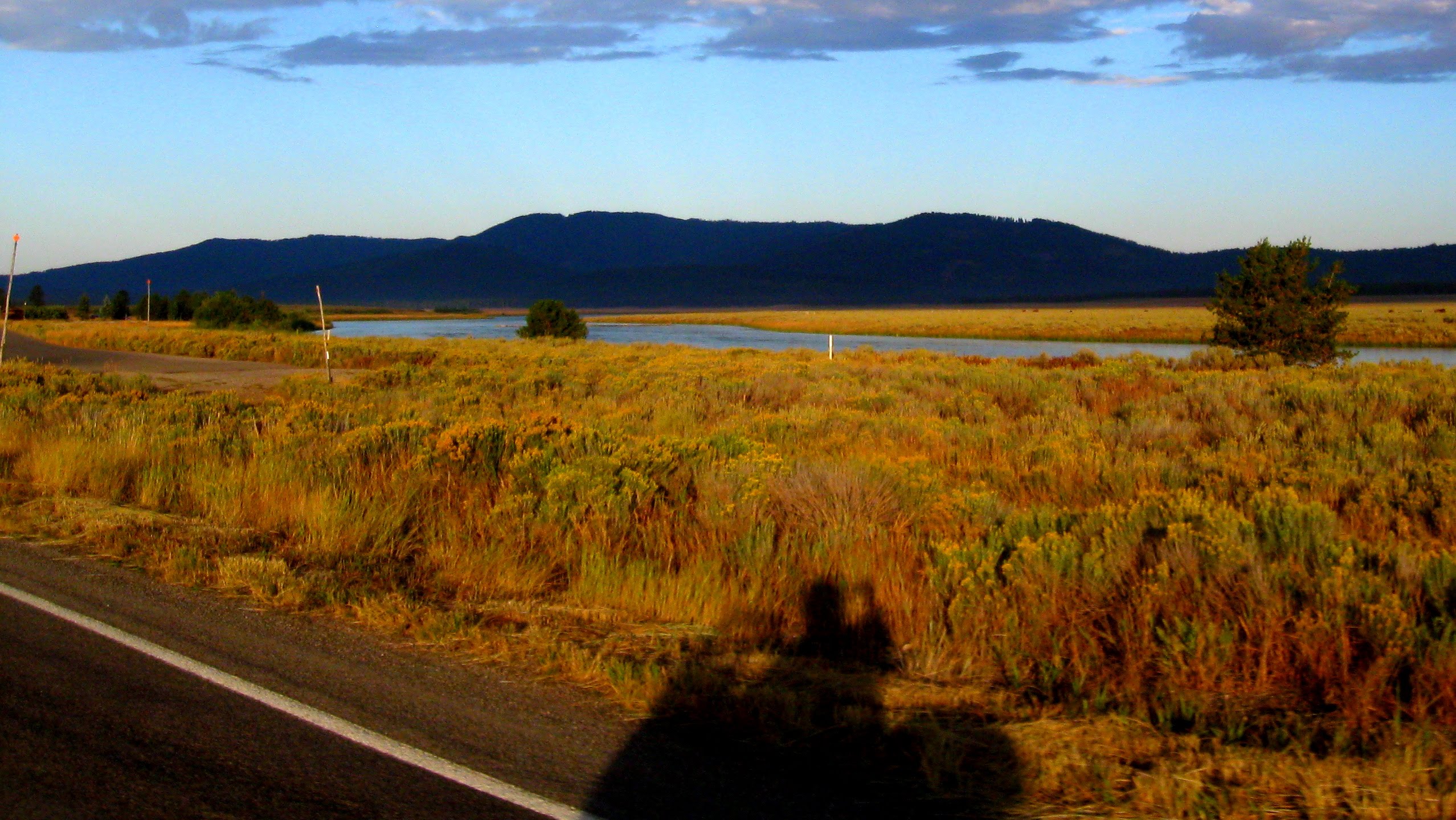
- Evening View – Hwy 273
-
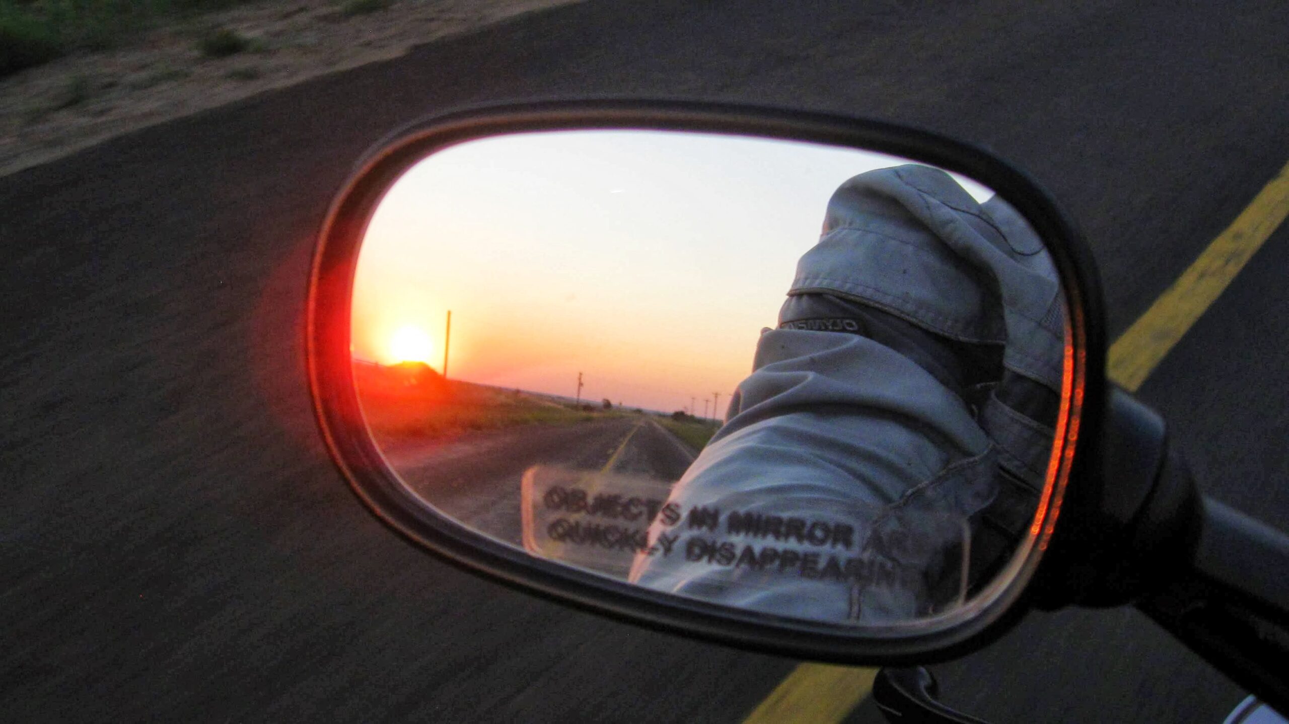
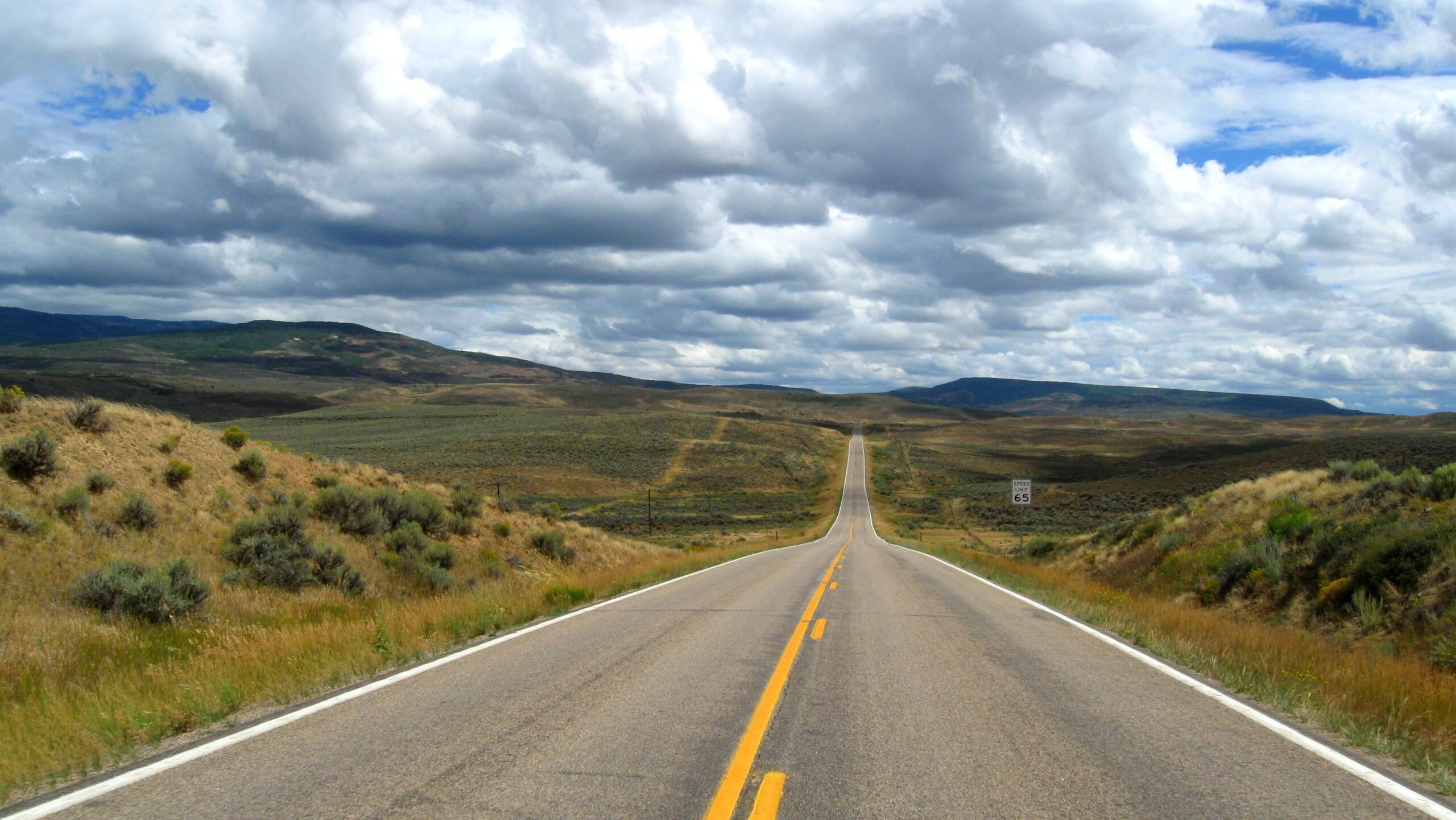
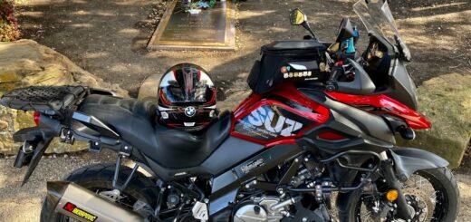
- On the road again
August 22, 2013
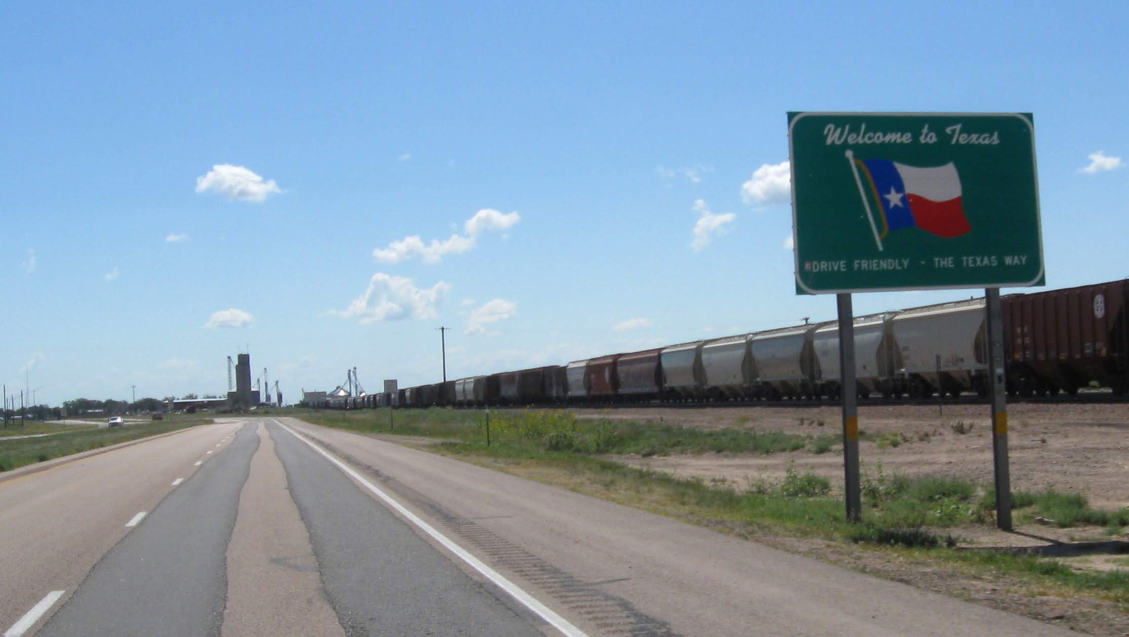
I awoke at 5:00 and was ready to ride. I picked my way on the dark highways through Dumas and back onto 287. The sun finally arose as I passed through Oklahoma and into Colorado. The clouds started getting a bit thicker as I neared Denver and light sprinkles started appearing on the windshield as I made my way around the tollway.
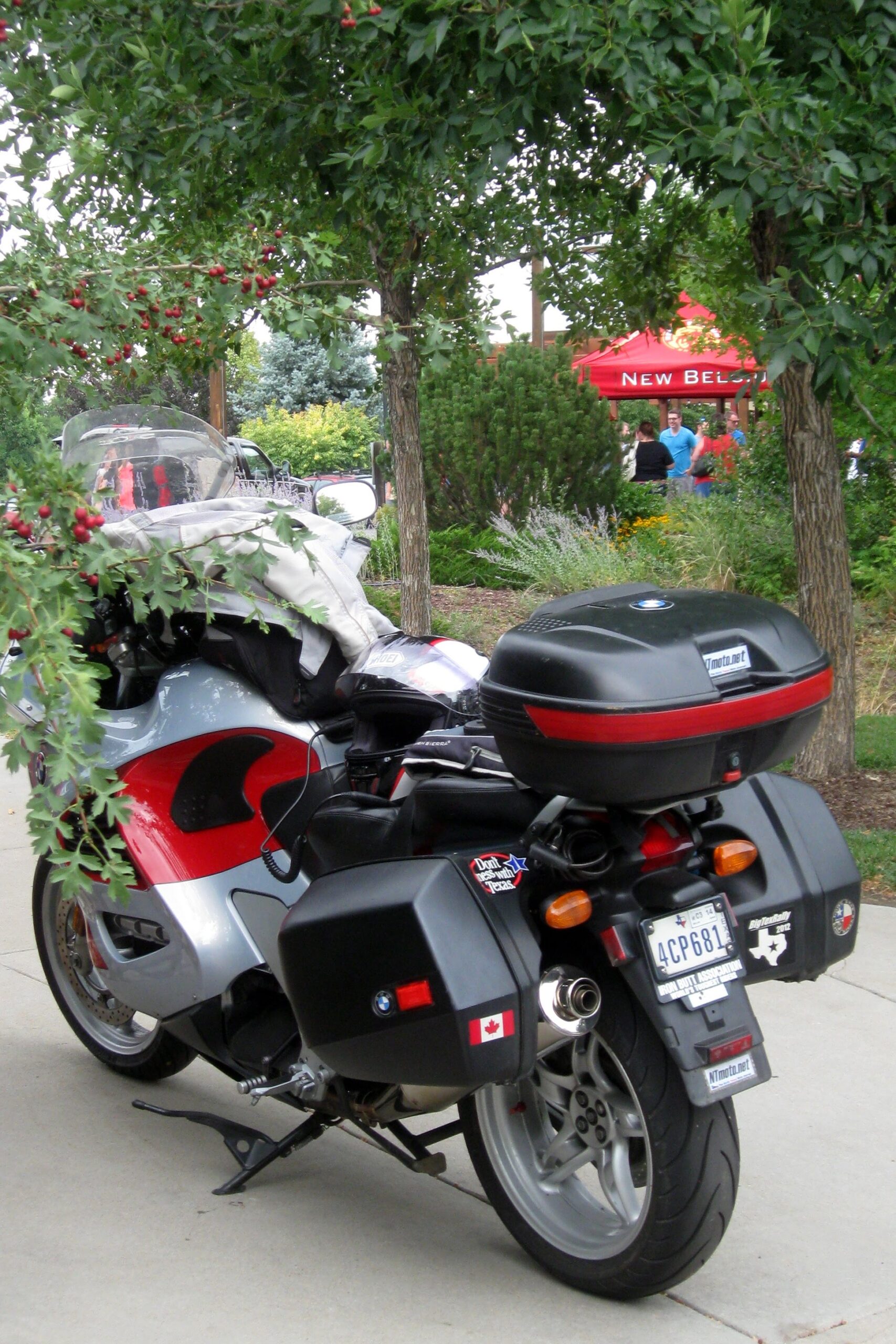
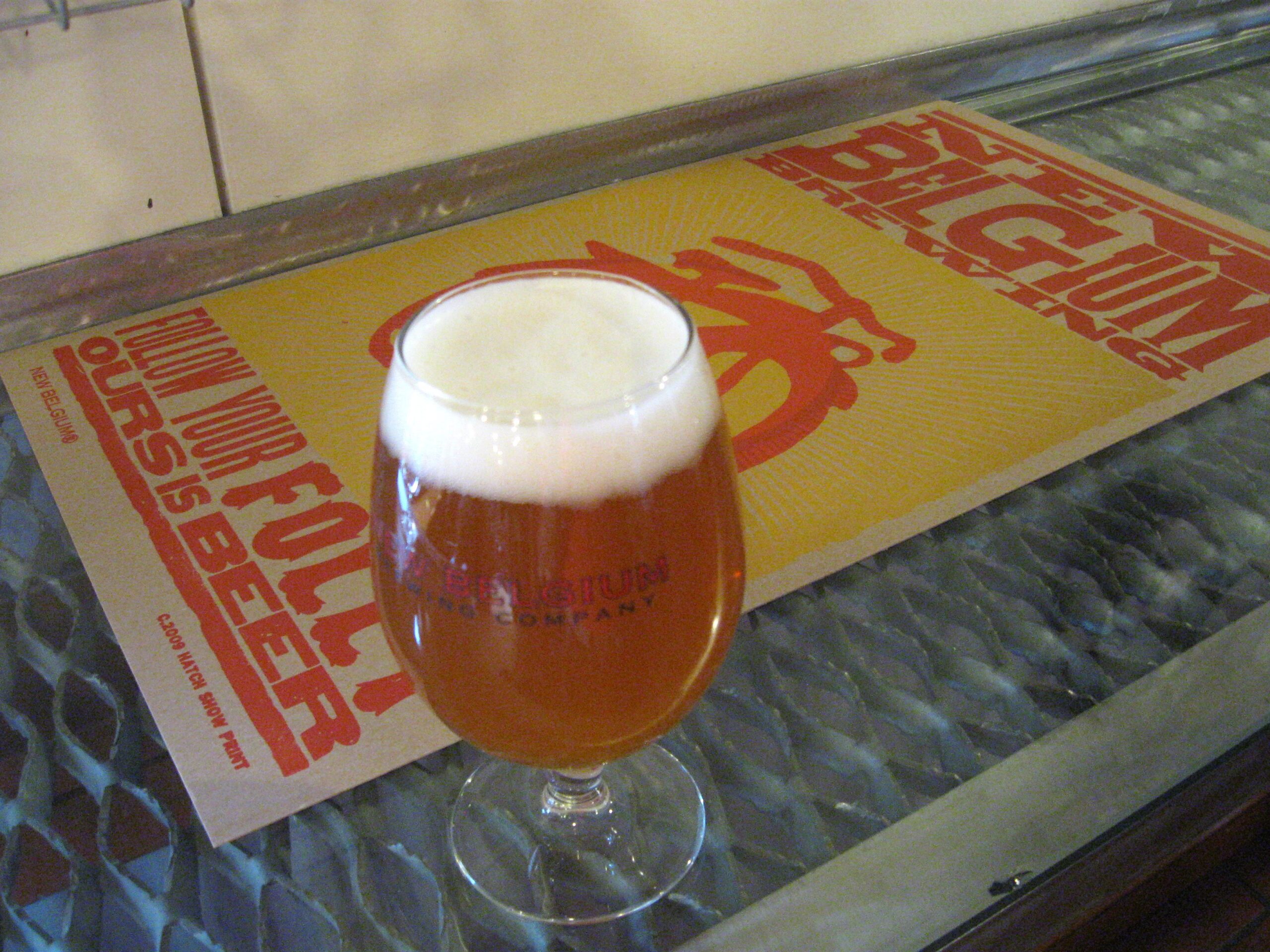
My route brought me through Fort Collins, so a stop at New Belgium Brewery was in order. I planned on staying only about 30 minutes, and wound up there for 1 1/2 hours. The crowd was fun to watch and the German sausage waffle was good for lunch. I rolled out of town still following 287 up into Wyoming and into Casper.

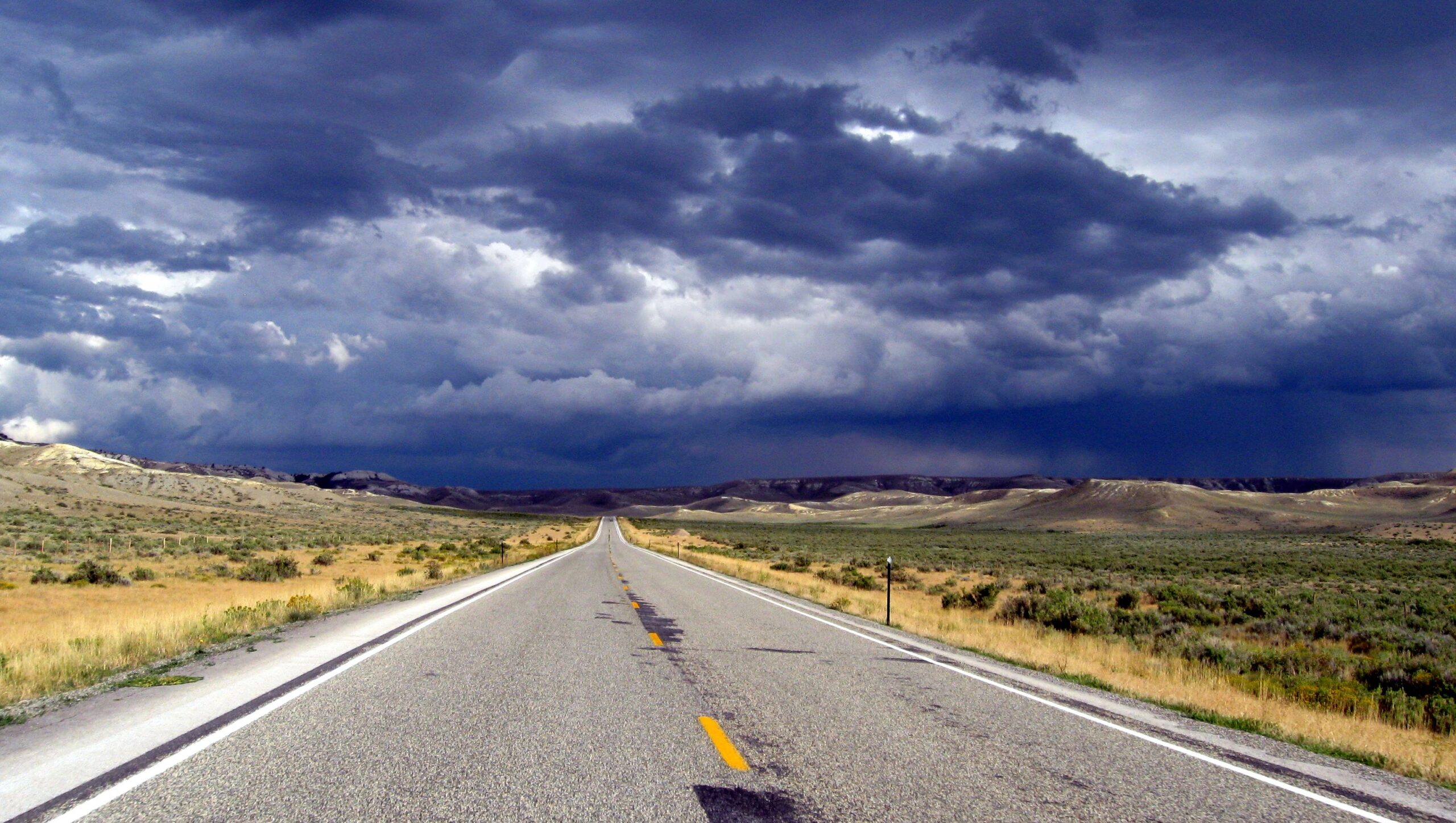
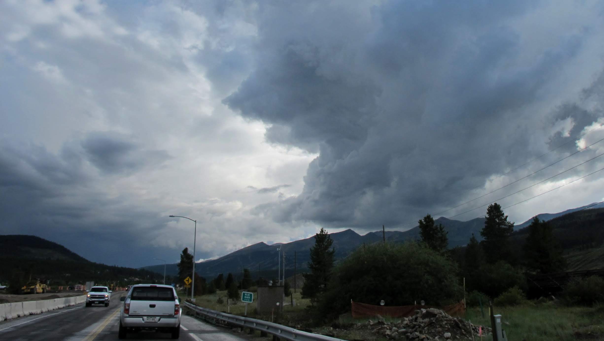
The weather started to get a bit more threatening as I headed west out of Casper. While I was talking to Deb, I decided to pull over and put full rain gear on. There were no other options than to punch the core of a thunderstorm ahead of me. The wind and lightning was a little too heavy for leisurely riding, but the challenge was interesting. I was happy to see the sun on the other side of the storm, and the light on the back side of the heavy clouds gave me a treat. The back roads in Wyoming see little traffic. I like the contrast of solitude on the lonely road with life in the big city. Shoshoni was the stop for the night.
August 23, 2013
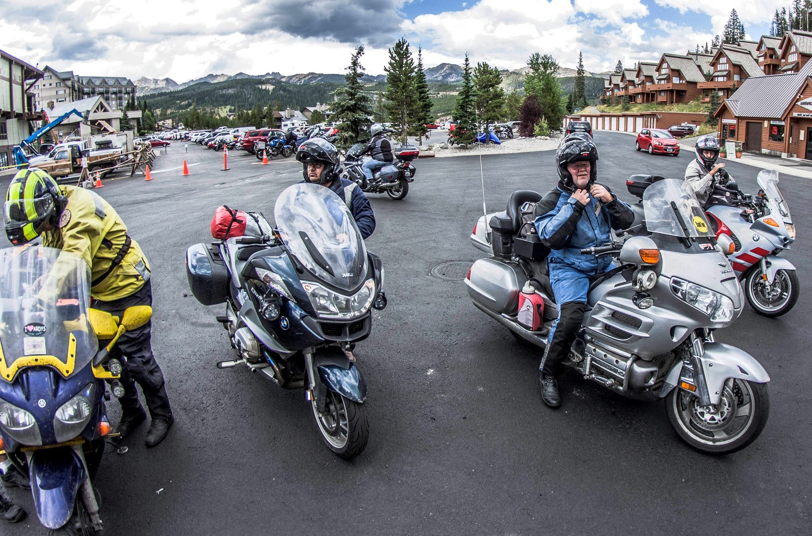
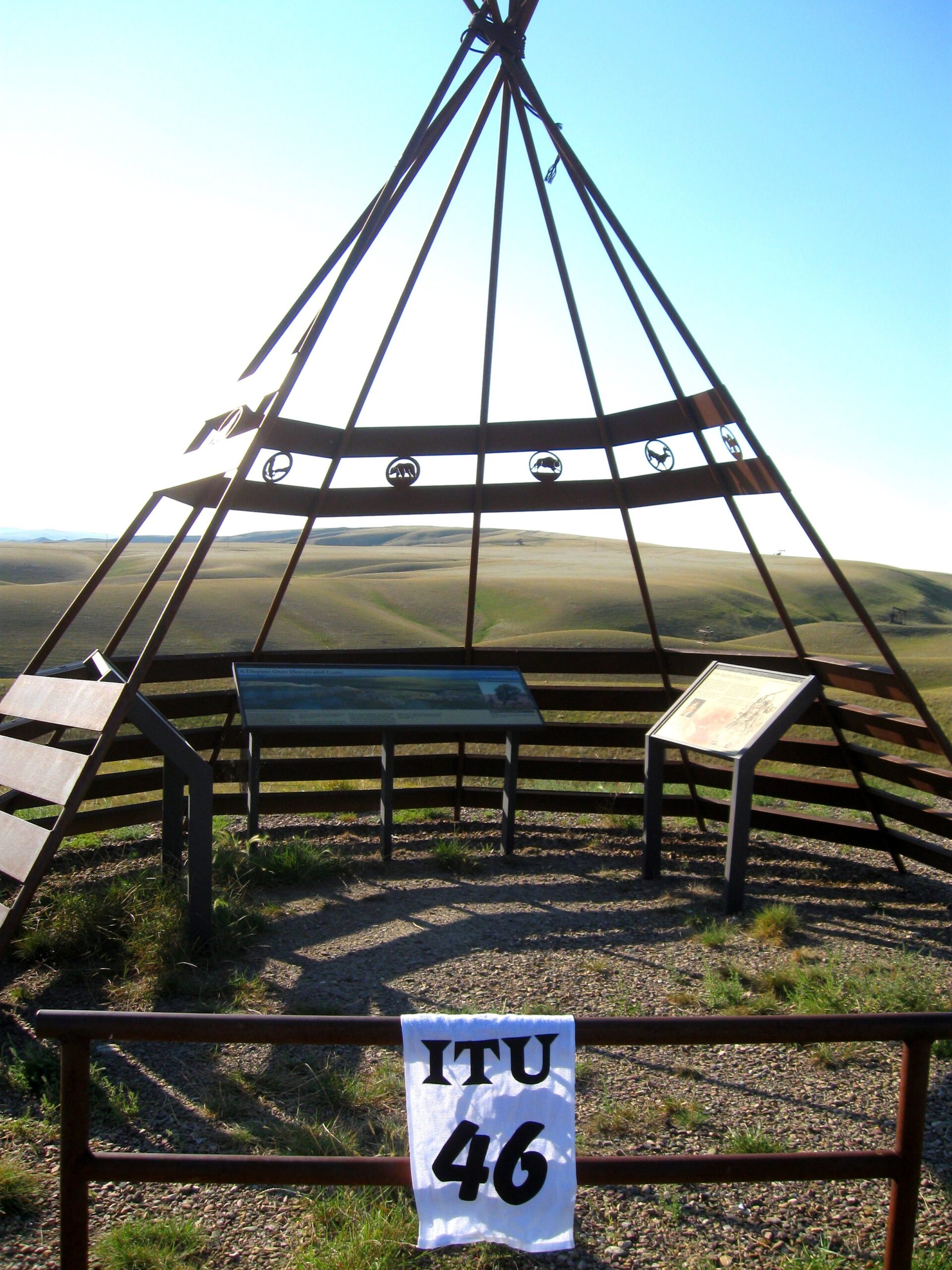
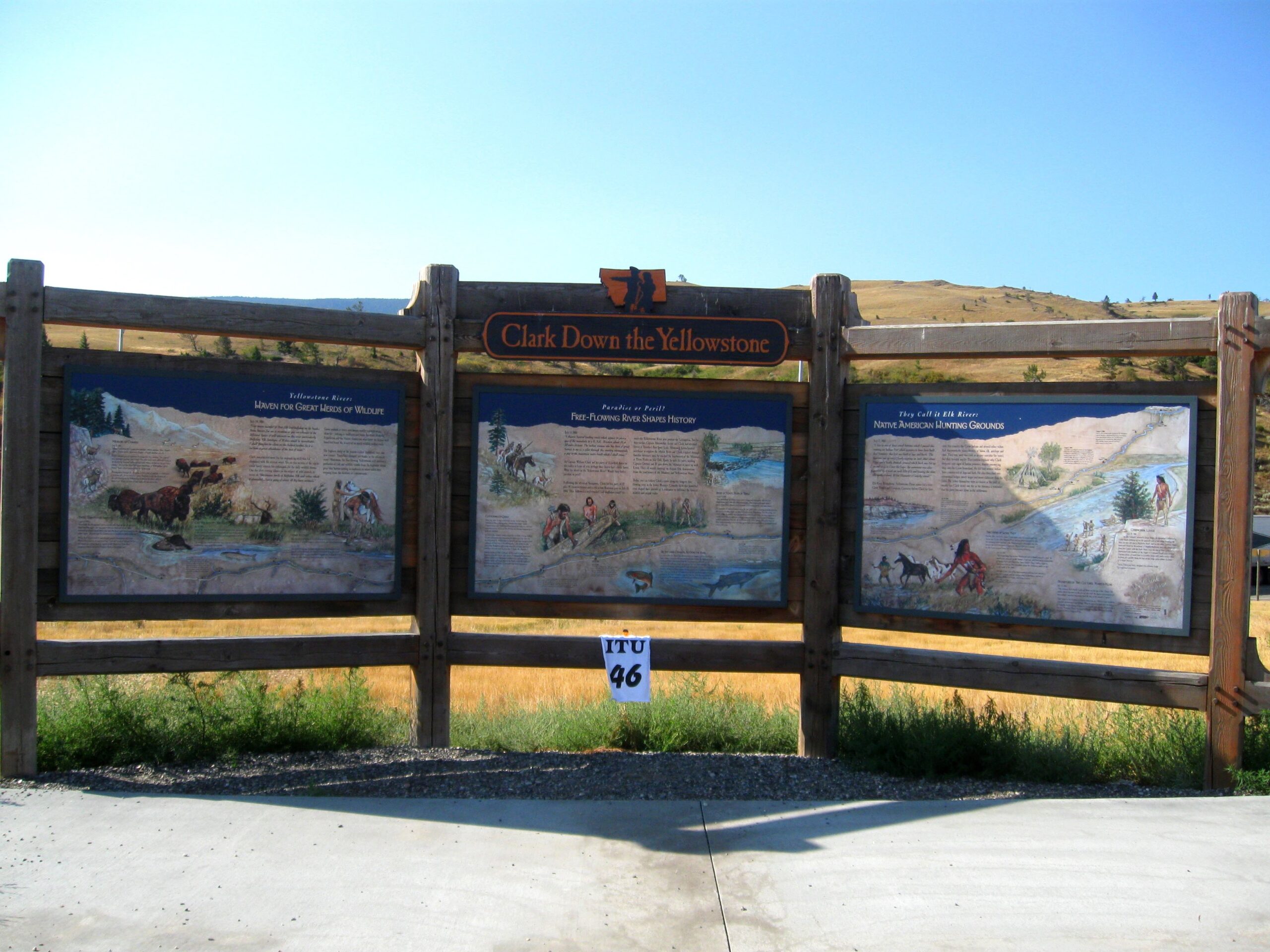
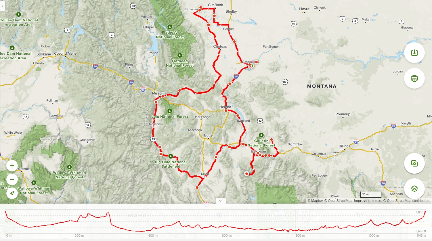
The sun was at my back for the morning ride out of Shoshoni and across the plains along Boysen Reservoir to the Bighorn River canyons. There were 2,000 foot high cliffs to each side of me while riding the twisting road through tunnels and alongside old railroad tracks. My route took me through Yellowstone National Park, and the pace slowed with visitors stopping to watch the wildlife. I was closely studying the attitude of a Bison as it wandered across a bridge with traffic stopped. I fueled up in Big Sky and made my way up the mountain to the tech inspection for the ITU rally.
-
- Photo credit Tobie Stevens

Immediately I was sent back down the mountain and up again for an odometer check. On the way back up, a storm was boiling over the 11,000 foot Lone Mountain. As I approached turns, I could see dust kicked up by the winds from the storms, and had to fight to keep my line.

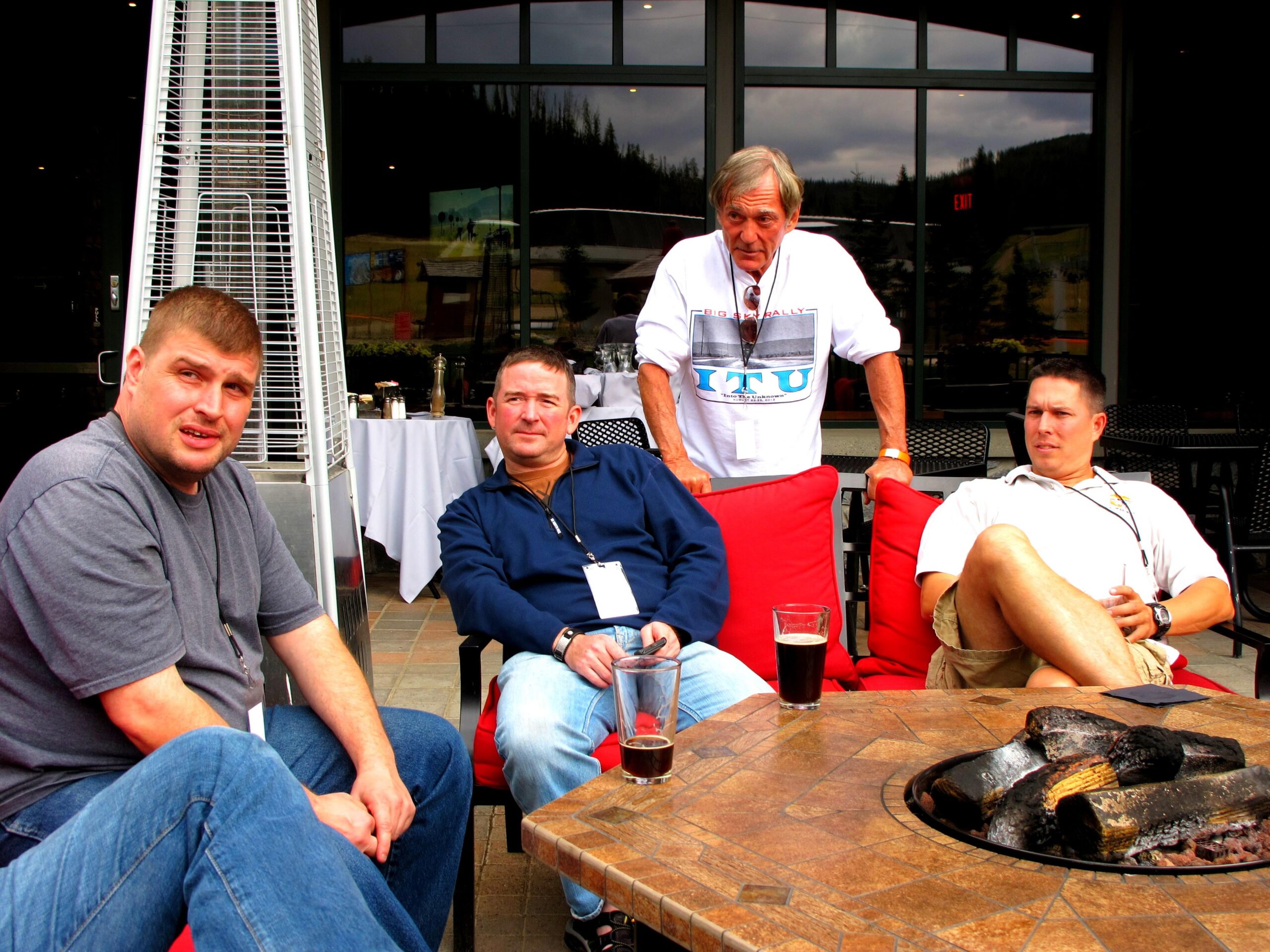
It rained heavily for a short time, but quickly cleared for a nice afternoon on the patio before the evening dinner.
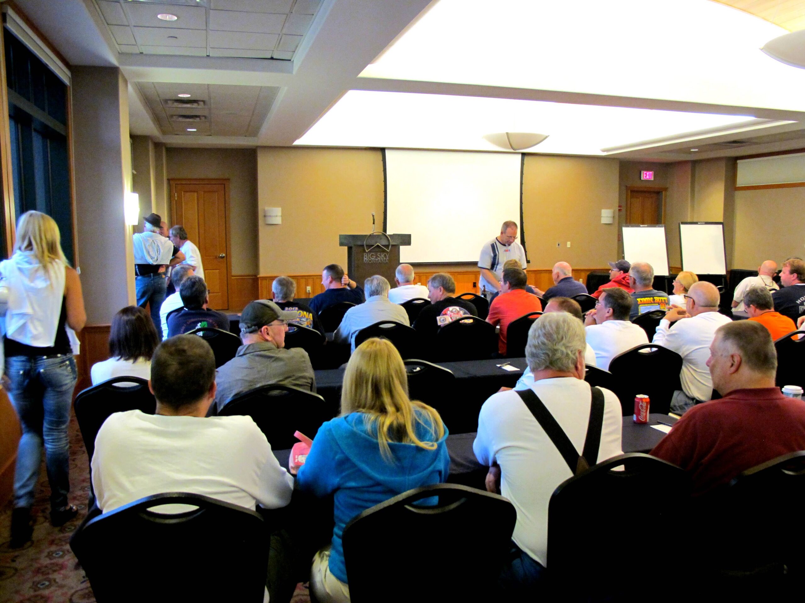
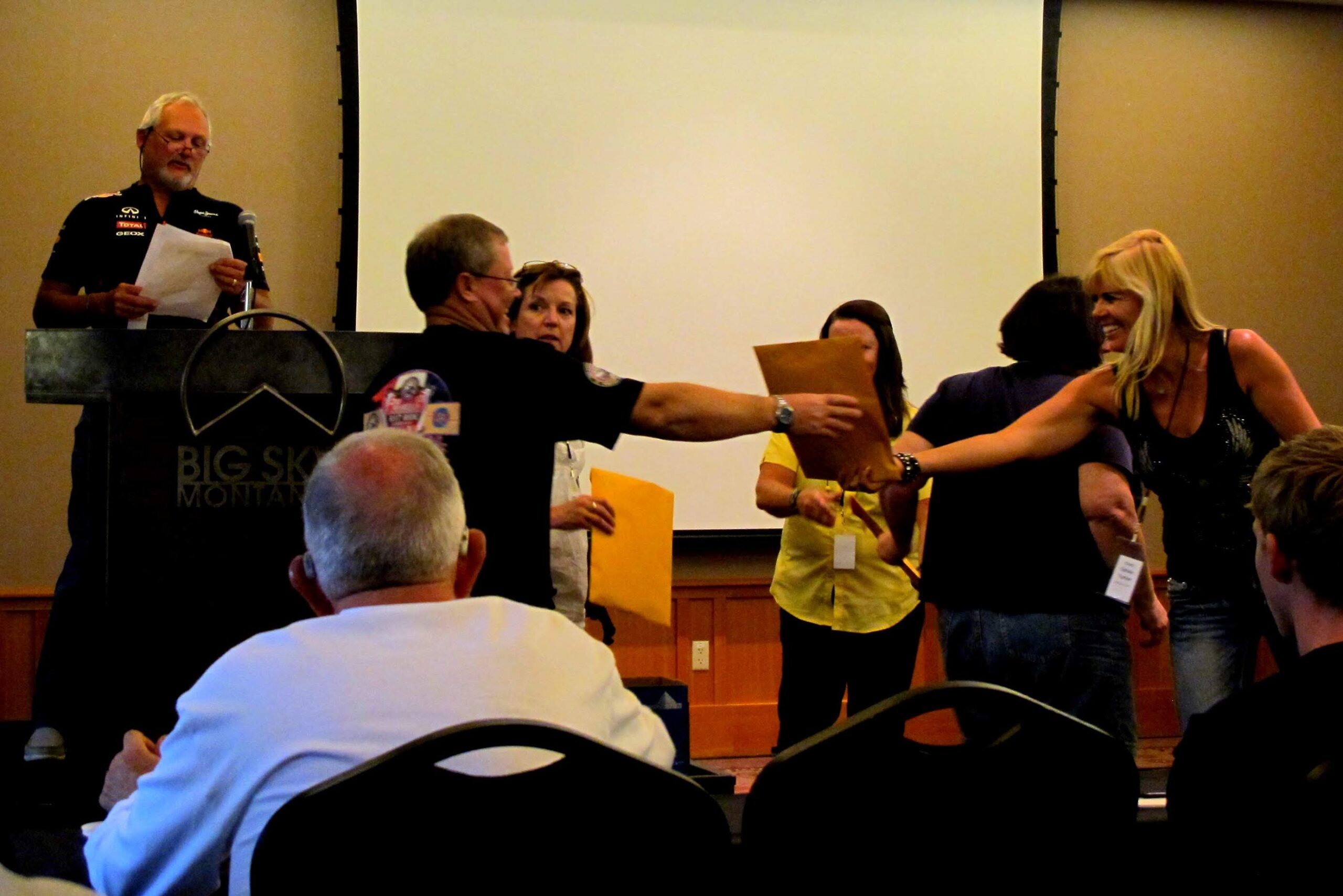
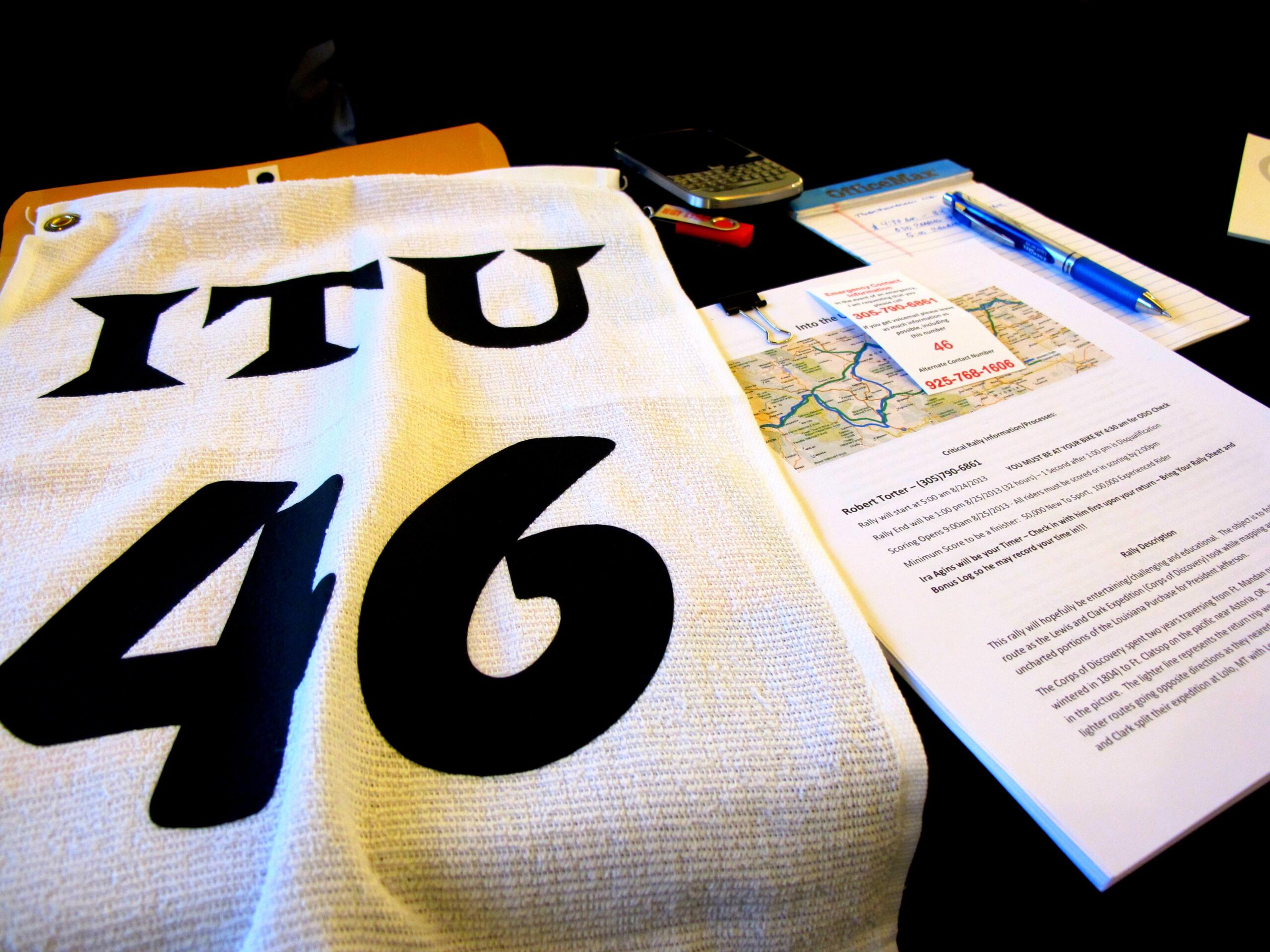
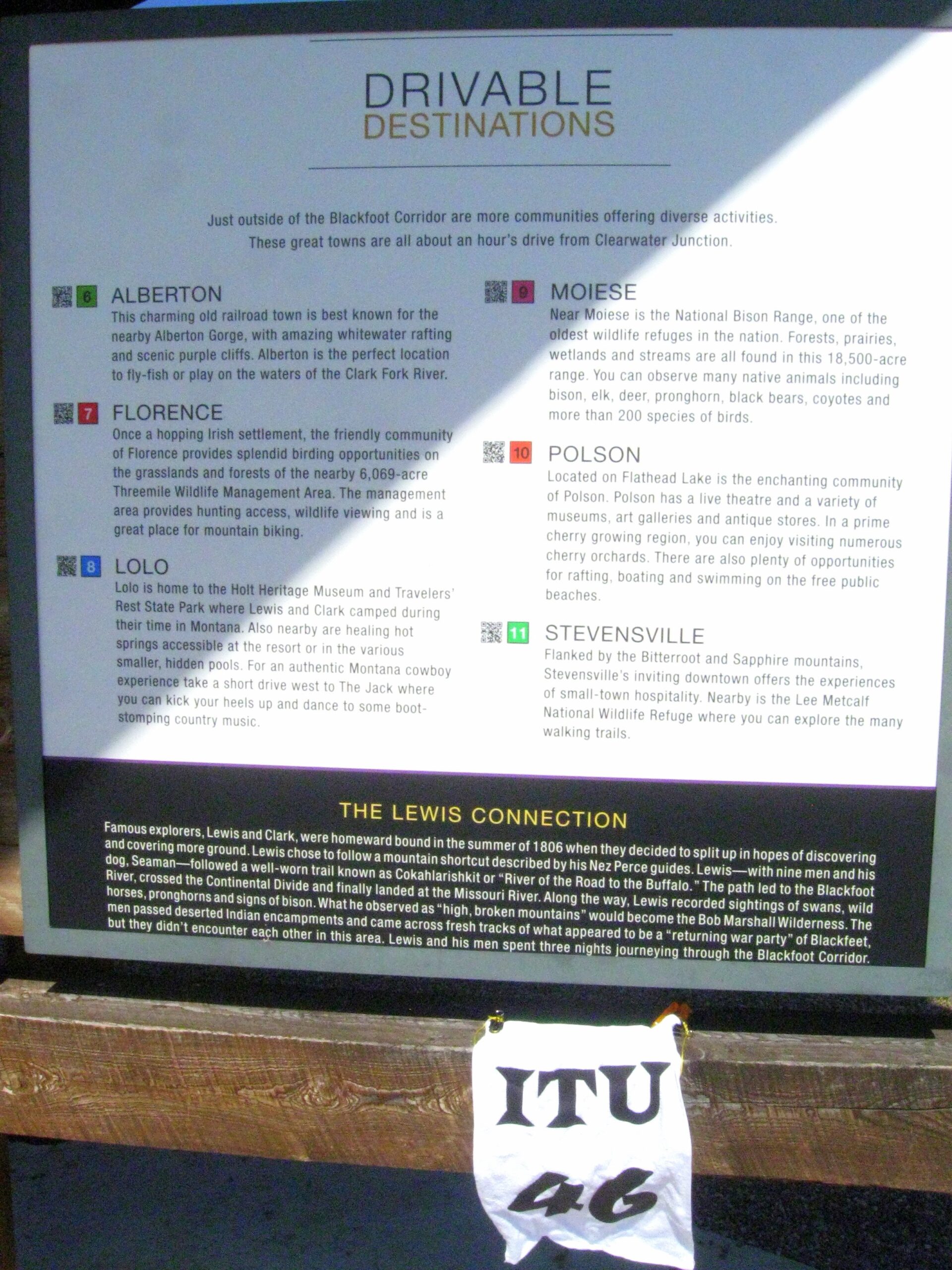
We met for the rider’s meeting. Warchild and team handed out packets. After some brief explanations on how the multipliers worked for following the paths of the Lewis and Clark expedition, we left for our rooms to figure out the next morning’s route. There were so many variables, it was hard to start a route. I finally chose my original plan to head east and then north along the Tetons up near the Canadian border. My minimum points to finish was 50,000 since I still fell into the “new to sport” class. If I successfully completed the thread of bonus locations along the Lewis return path around Camp Disappointment, I would have over 100,000 points to finish with the experienced riders. The rally master messed with our math logic by throwing some “letter” bonuses in the middle of a thread of expedition locations. I had to do constant math to determine if it was worth ending a thread to claim one of the “items” encountered by the expedition. I looked at the clock showing 12:30 and knew I had to finalize the route and get some sleep before the 4:30 AM final odometer check.
August 24, 2013
My alarm was set for 3:45 but I was awake at 3:15. Oh well… Awake now. I looked out my window, and there was one person milling about in the lot of 60 motos. Time to look over the plan one more time before departure. There are many variations one could put together with this many bonus locations scattered about. I’m still not totally thrilled with my choice of route, but it will do.

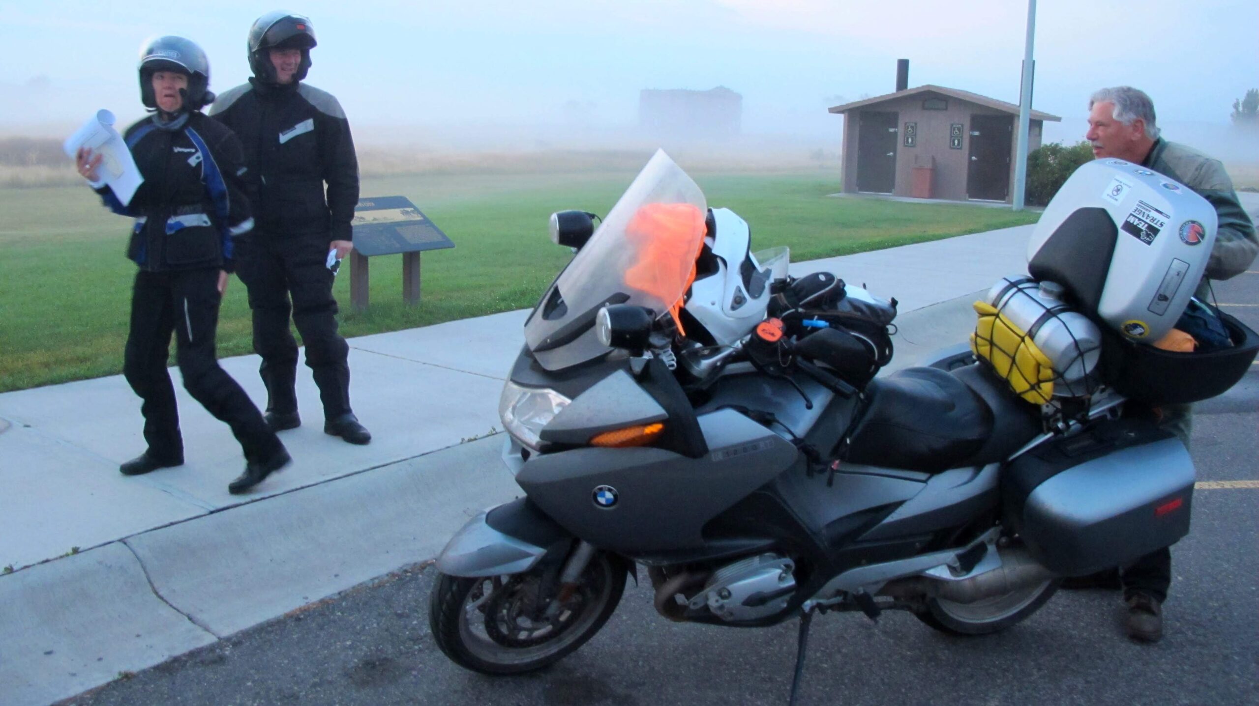
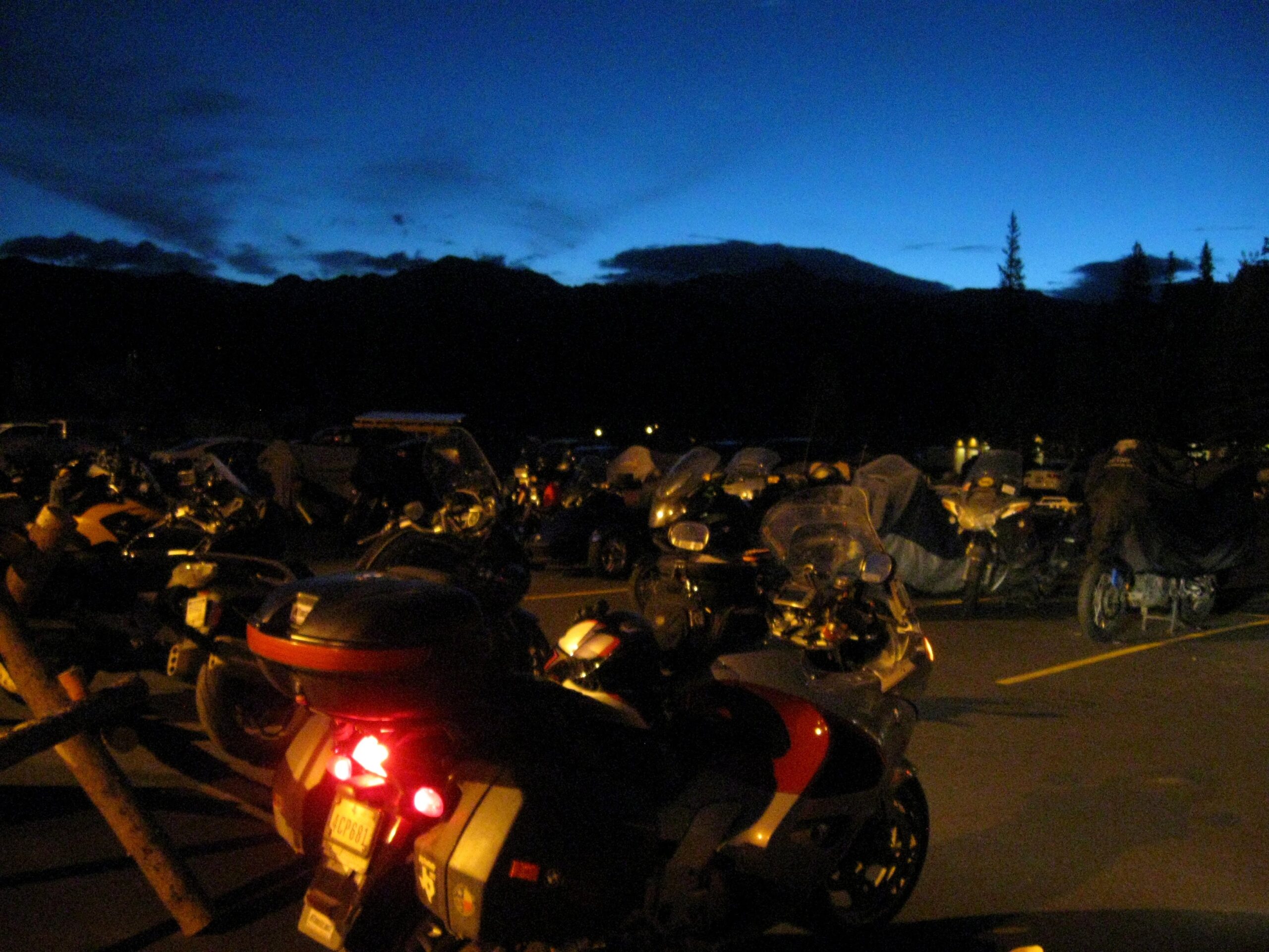
I went on down to the bike with a load of gear and brought my Camelbak back up to the room for fresh water. I returned back to the moto with the remainder of gear and grabbed a breakfast snack the Torters put together for us. The evening’s rain was still all over the bikes and road. Lights reflected in different colors in the darkness. As soon as the odometer check was completed, we lined up around the entry of the hotel. I pulled the camera out to snap a last few photos before the procession out for a 32-hour ride. I heard the 5-minute warning. Engines started to come to life as 5:00 approached.
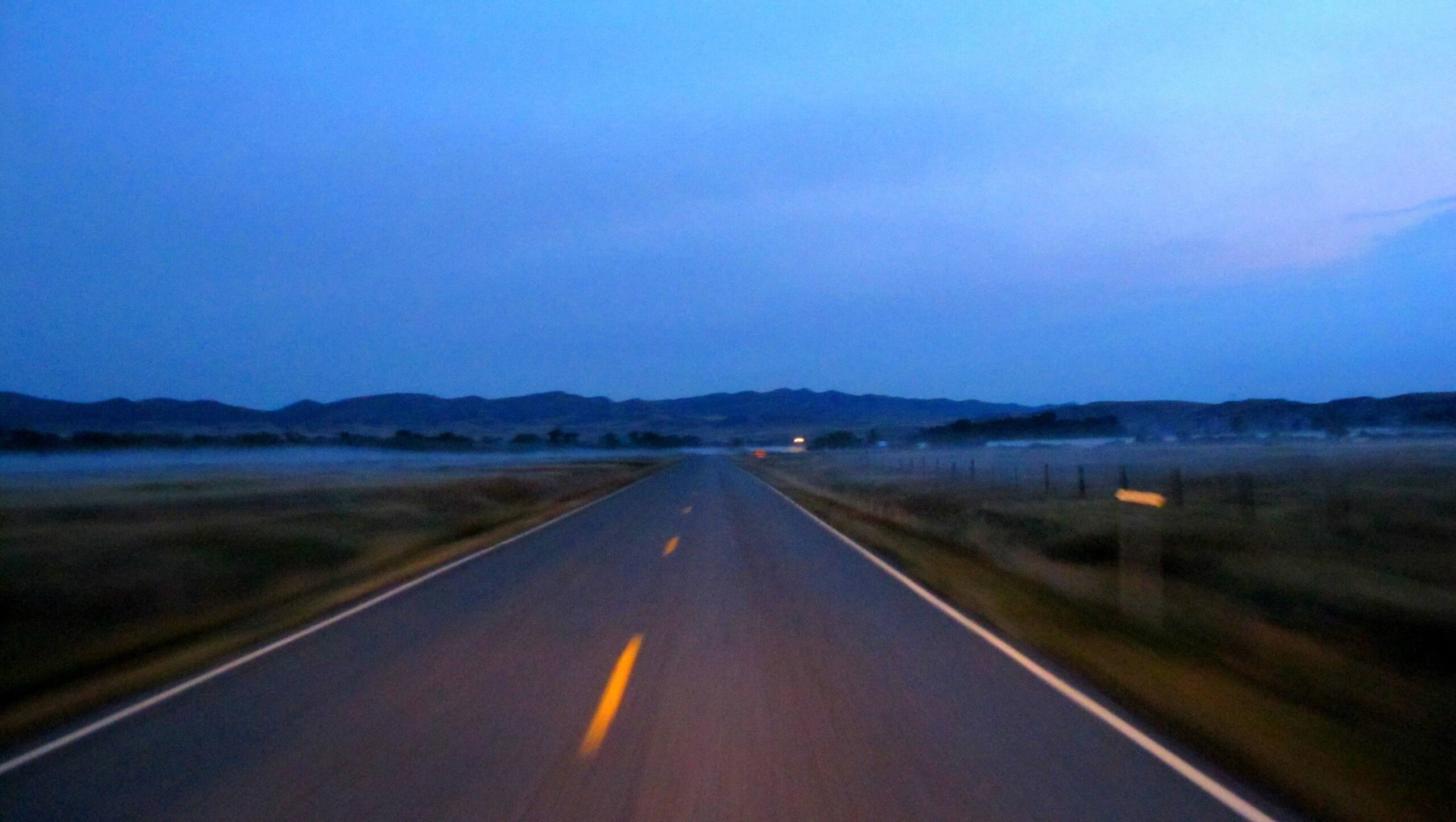
We started spreading out as options for different roads and routes appeared. The ride was dark for miles, but the morning light started illuminating the fog across the valleys.
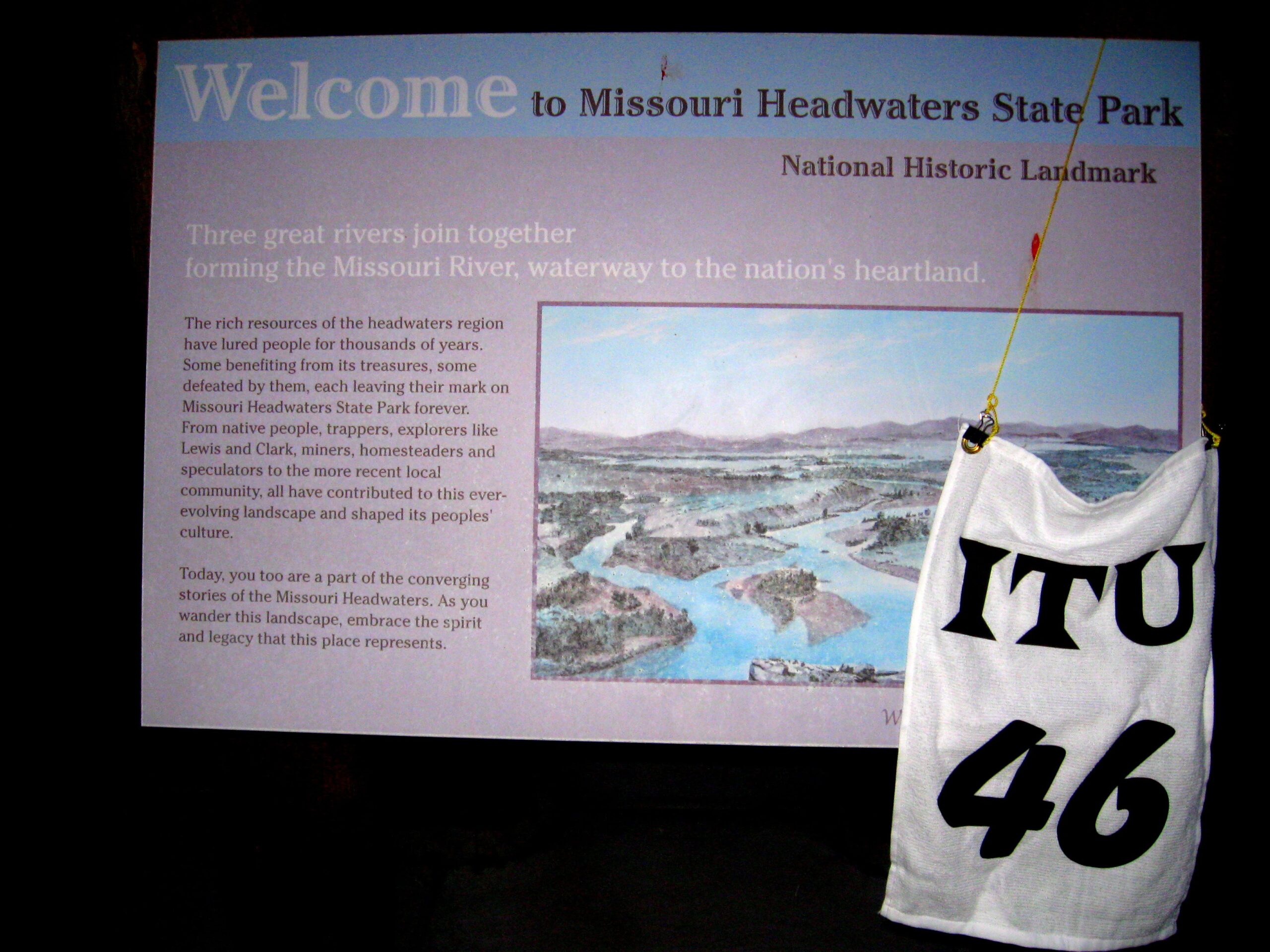
I made my way to the first bonus 019 at the Missouri Headwaters. Here I ran into the couple from New Zealand and nice guy Mario Winkleman, owner of LD Comfort.
Lewis and Clark spent several days exploring this area and the three forks of the Missouri. On their minds was their failure to have met with the Shoshone Indians yet: From Lewis’ Journals: “we begin to feel considerable anxiety with rispect to the Snake Indians. If we do not find them or some other nation who have horses I fear the successful issue of our voyage will be very doubtfull or at all events much more difficult in it’s accomplishment. We are now several hundred miles within the bosom of this wild and mountanous country, where game may rationally be expected shortly to become scarce and subsistence precarious without any information with rispect to the country not knowing how far these mountains continue, or wher to direct our course to pass them to advantage or intersept a navigable branch of the Columbia.”
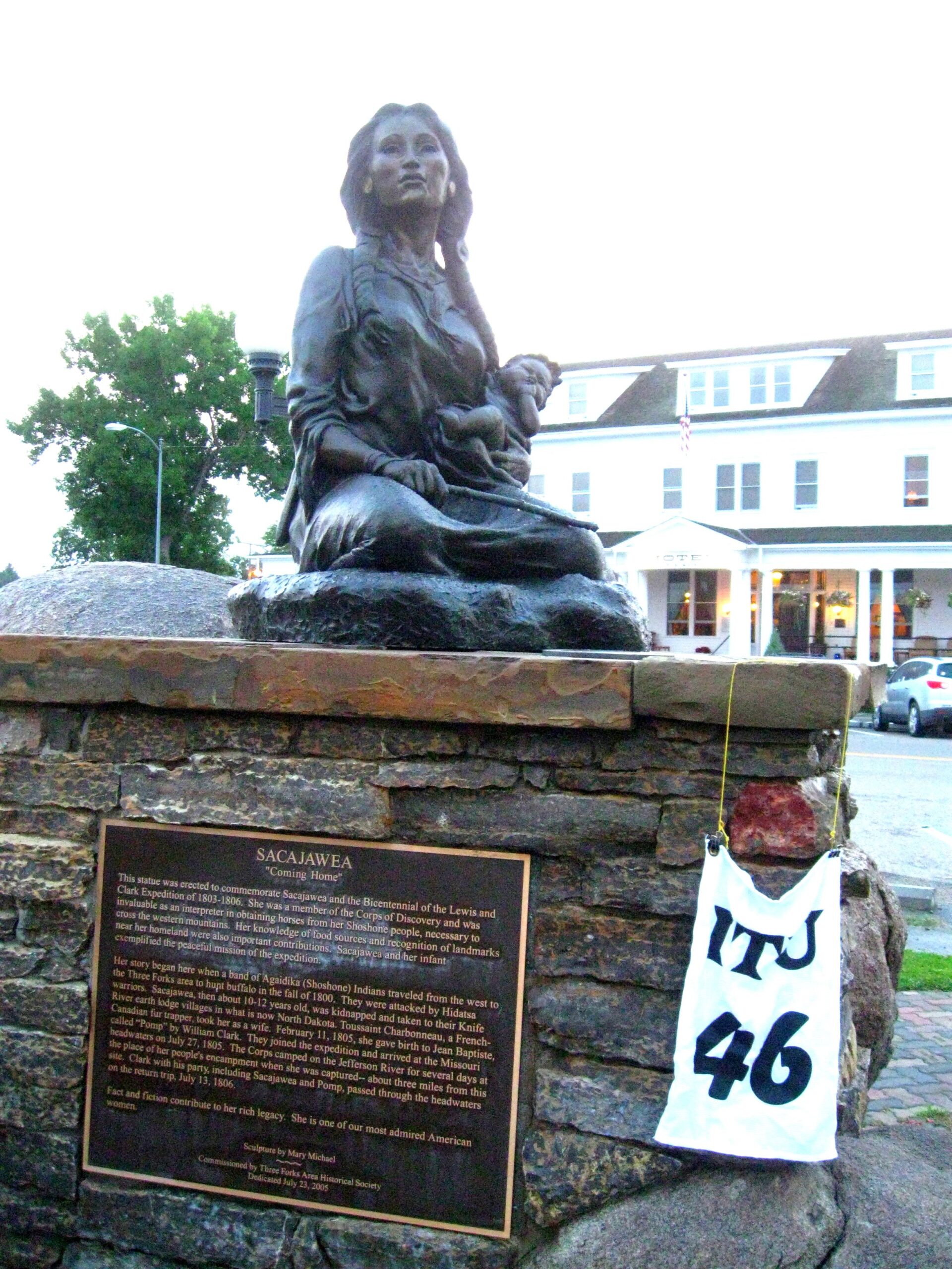
Bonus 020 was in the small downtown area of Three Forks, to take a picture of Sacagawea holding her son Pompey.
… we called the S.W. fork, that which we meant to ascend, Jefferson’s River in honor of that illustrious personage Thomas Jefferson. [the author of our enterprize.] the Middle fork we called Madison’s River in honor of James Madison, and the S.E. Fork we called Gallitin’s River in honor of Albert Gallitin. … the beds of all these streams are formed of smooth pebble and gravel, and their waters perfectly transparent; in short they are three noble streams.
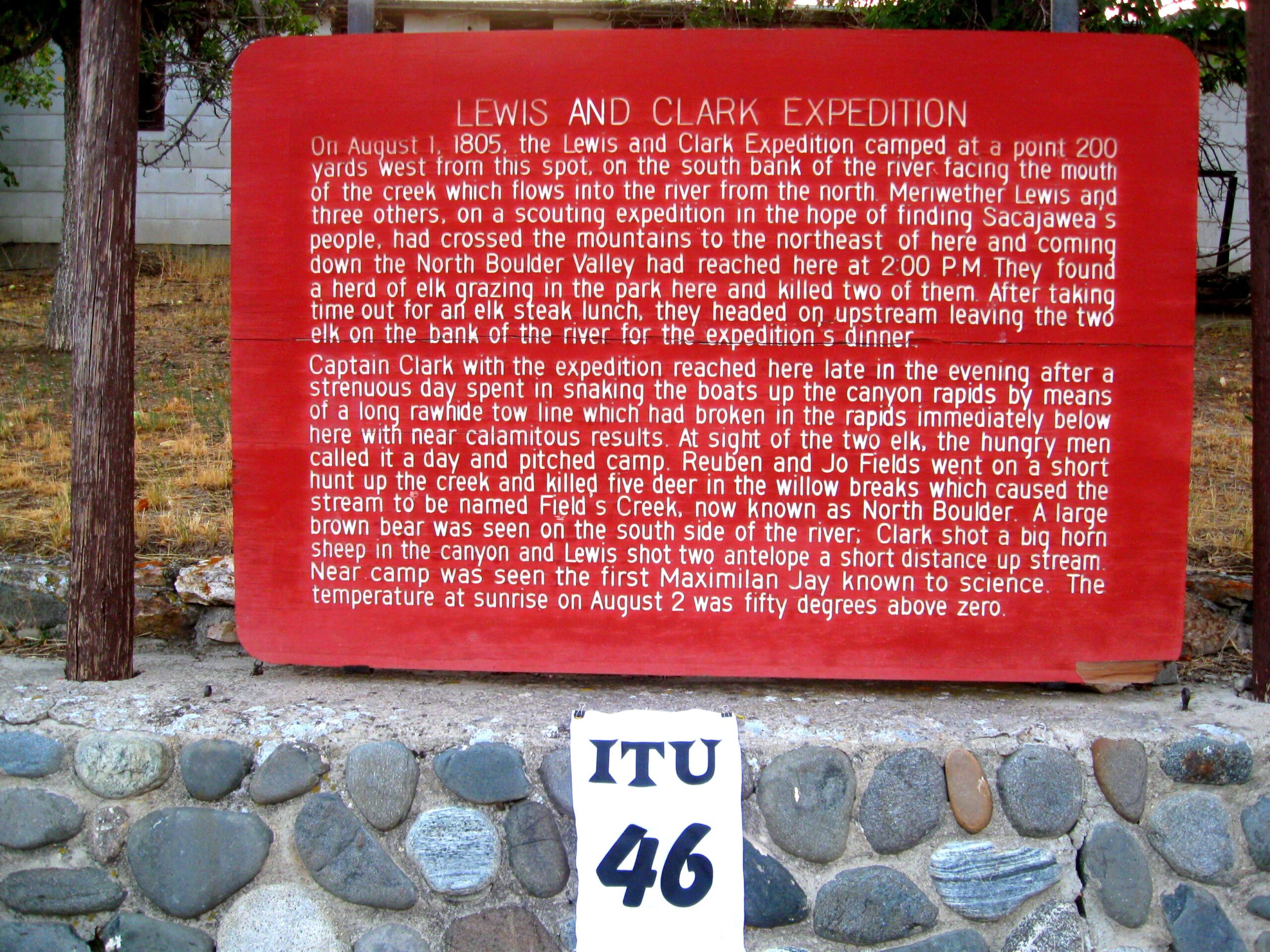
Bonus 021 took me to Whitehall, MT to photograph a Lewis and Clark Expedition sign in Lahood Park.
“one of their canoes had just overset and all the baggage wet, the medecine box among other articles and several articles lost a shot pouch and horn with all the implements for one rifle lost and never recovered. … on their arrival found that two other canoes had filled with water and wet their cargoes completely. Whitehouse had been thrown out of one of the canoes as she swing in a rapid current and the canoe had rubed him and pressed him to the bottom as she passed over him and had the water been 2 inches shallower must inevitably have crushed him to death. ” The Journal entry of just one incidence of near catastrophy that took place near this spot during the expedition.
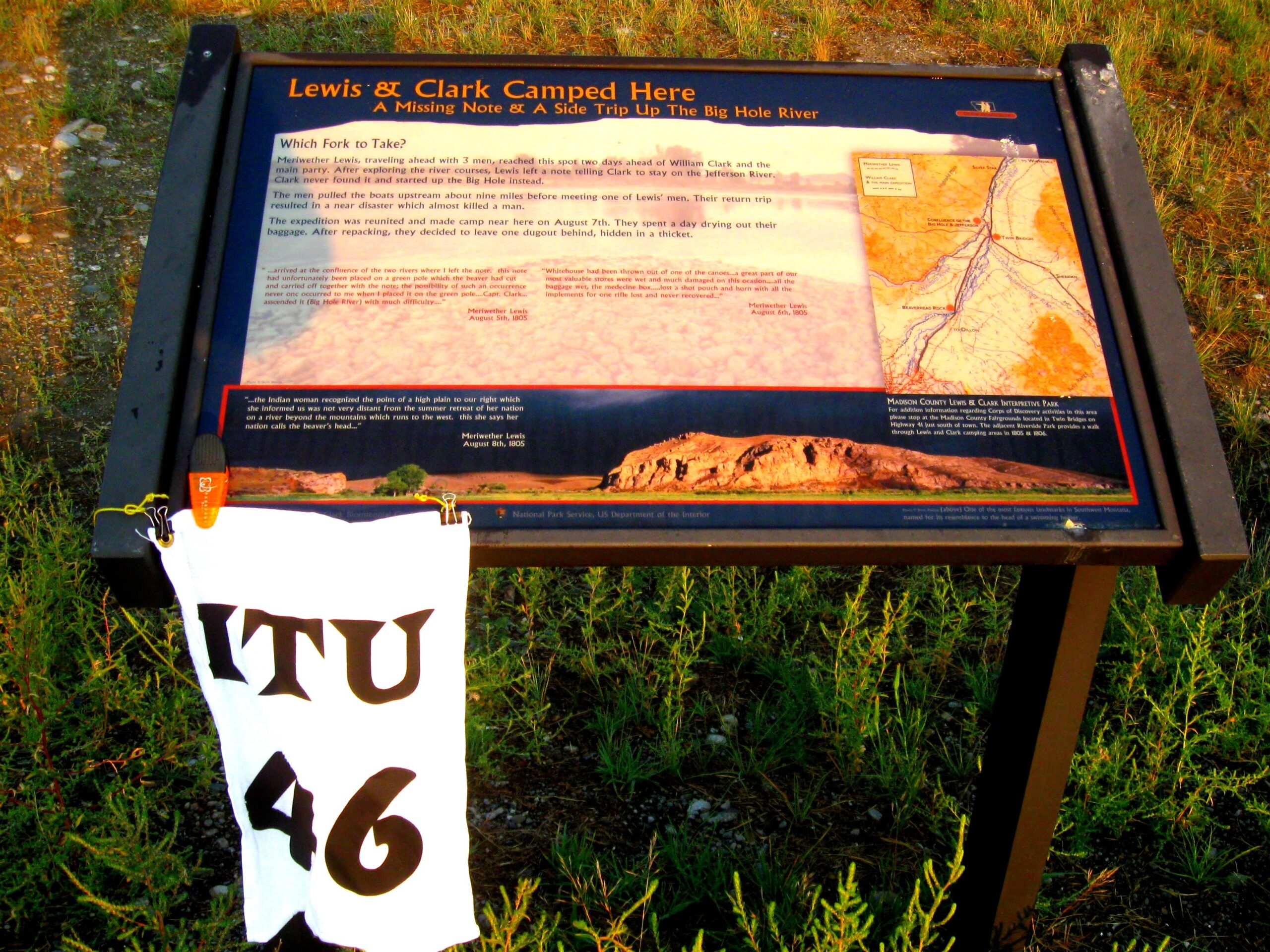
I continued on near Twin Bridges for Bonus 022 documenting where Lewis and Clark had camped.
From this area the expedition could see “Beaver Head” rock (14 miles south): “…the Indian woman recognized the point of a high plain to our right which she informed us was not very distant from the summer retreat of her nation on a river beyond the mountains which runs to the west. This hill she says her nation calls the beaver’s head from a conceived re[se]mblance of it’s figure to the head of that animal. She assures us that we shall either find her people on this river or on the river immediately west of it’s source; which from it’s present size cannot be very distant. … it is my resolusion to find them or some others, who have horses if it should cause me a trip of one month. For without horses we shall be obliged to leave a great part of our stores, of which, it appears to me that we have a stock already sufficiently small for the length of the voyage before us.

As I rode further south, I decided to do Camp Fortunate Bonus 023 as an out-and-back to Clark Reservoir. Each number bonus documented in succession results in an exponential growth of points as the total of the bonuses is multiplied by the quantity in the thread. Time was looking good, so I added this one into my conservative route.
Called “Camp Fortunate” because the expedition felt themselves very fortunate to have found the Indians they were seeking to help them with passage over the mountains to the Columbia river. These Indians were poor and starved (very graphic journal entries about their level of poverty) but they did trade for horses and provided much valuable information to the expedition about the westward trail. These were the Shoshone (Snake) Indians and were the people of Sacagawea: “… Capt. Clark arrived with the Interpreter Charbono, and the Indian woman, who >proved to be a sister of the Chief Cameahwait. the meeting of those people was really affecting, particularly between Sah-cah-gar-we-ah and an Indian woman, who had been taken prisioner with her by the Minnetares…”
I broke the thread bypassing 024 and 025. We had already been warned that the road was bad on the Idaho side and the heavy rain would likely make it impassable, especially on my KRS.
I started a new thread with 026, the Lost Trail Pass at the Montana/Idaho border. I stopped here in the high altitude for a short while to eat a Cliff bar and down some fluids.
“I now asked Cameahwait by what rout the Pierced nosed indians, who he informed me inhabited this river below the mountains, came over to the Missouri; … the road was very bad one as he had been informed by them and that they had suffered excessively with hunger on the rout being obliged to subsist for many days on berries alone as there was no game in that part of the mountains …my rout was instantly settled in my own mind, … I felt perfectly satisfyed, that if the Indians could pass these mountains with their women and Children, that we could also pass them.”
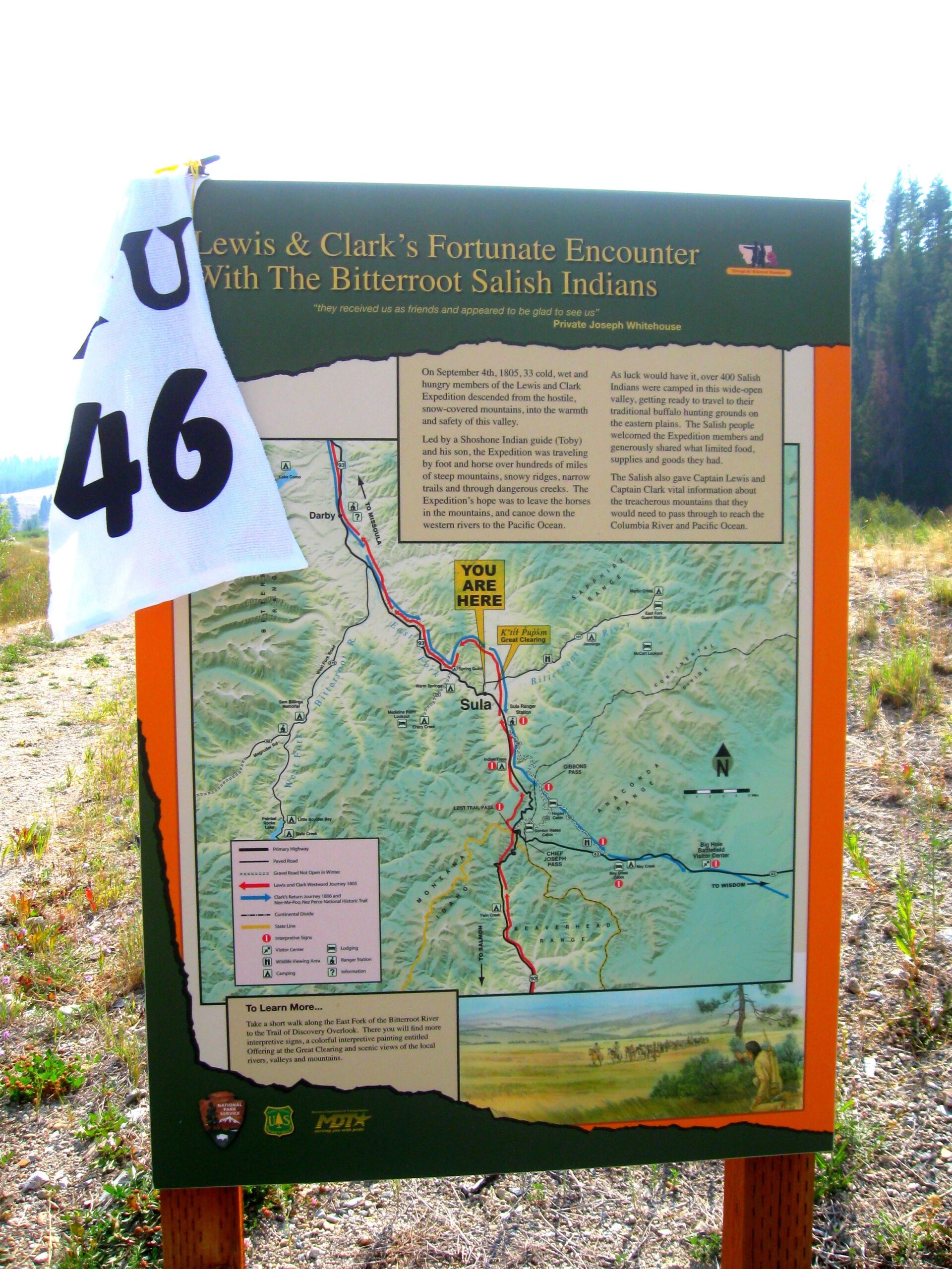
Bonus 027 took me south of Sula, MT.
Snow began to fall as the expedition set off for the Continental Divide. Game was scarce in the Rockies, and food supplies ran low. But finally the expedition reached the divide and passed over the other side, down into the Bitterroot Valley. There the Americans met a band of Flathead Indians and bought more horses for the journey across the Bitterroot Mountains. Crossing this range of the Rockies fully tested the expedition’s endurance.
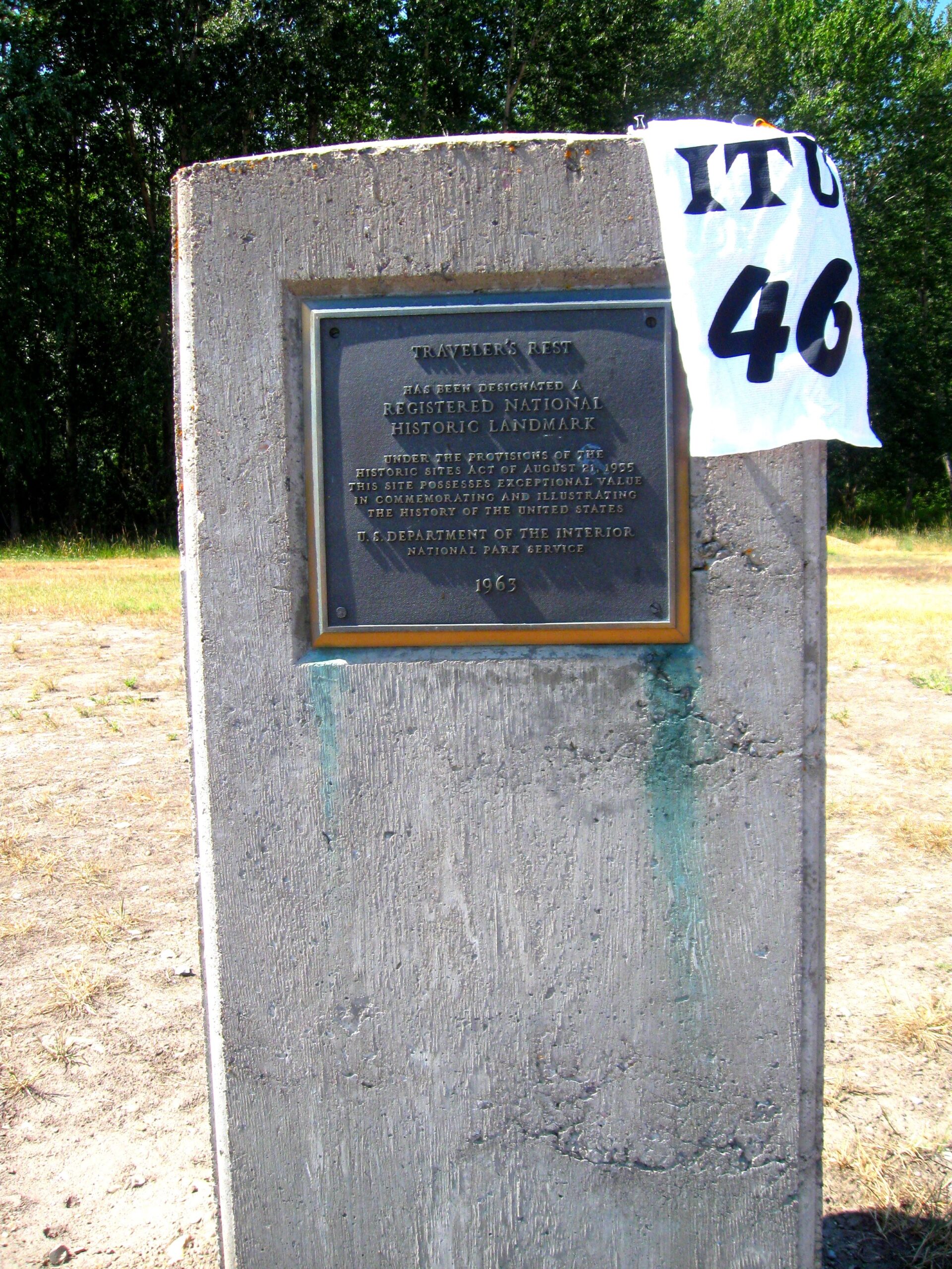
I kept riding north to Bonus 028 near Lolo to the Traveler’s Rest. This was the first of two bonuses that I lost points on. The instructions were not very clear on what historic monument to photograph and the key was what it was near.
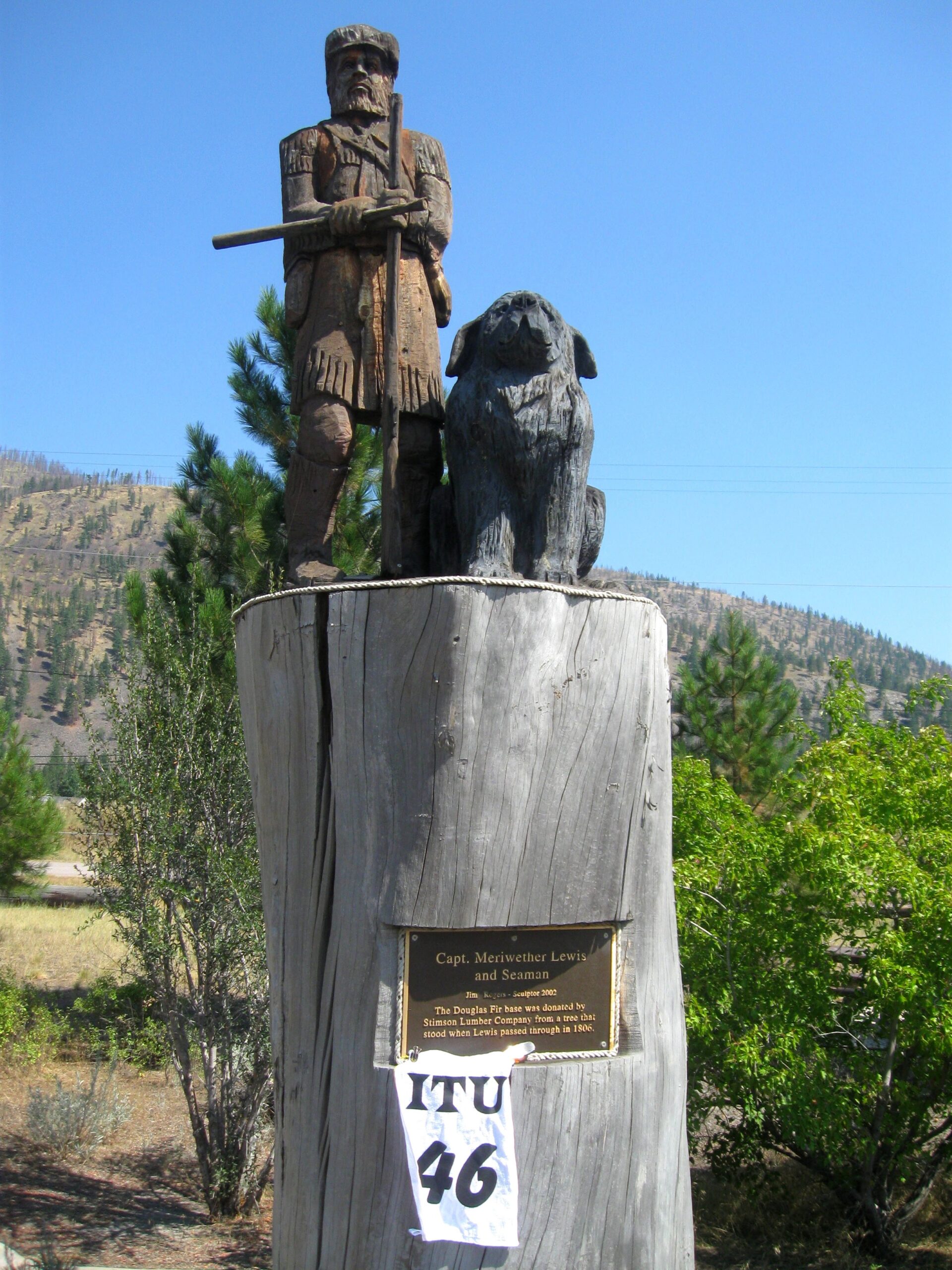
From the Lemhi Valley whee the expedition first met the Shoshone to this point over the bitterroots and up the Salmon river the party was guided by a Shoshone Indian they called Tobie (now referred to as “Old Tobie”). His real name was Pike Queenah (Swooping Eagle). He continued to lead them over the Lolo Pass to the Clearwater River above Lewiston where they met with the Nez Perce Indians.
It was at Missoula where I turned east towards Bonus 38 to end the thread that actually ended before Traveler’s Rest.
On June 30 they reached Traveler’s Rest, where Lewis and Clark decided to part ways in order to explore more of the Louisiana Territory. Lewis and nine men would explore the Marias River to the north, while Clark and the others would head for the Yellowstone River in the south.
I continued east along Lewis’ path to start the new thread of 100’s. Bonus 101 was on Hwy 200 at Clearwater Rest Area.
When the expedition split at Travelers rest the Indians who had guided the expedition over the Bitteroots told Lewis that he had a clear buffalo road to the north but they had to return. Lewis made provision for his guides and wrote in his Journals: “they (Indians) alledged that as the road was a well beaten track we could not now miss our way and as they were afraid of meeting with their enimies the Minnetares they could not think of continuing with us any longer, … I directed the hunters to … indeavour to kill some more meat for these people whom I was unwilling to leave without giving them a good supply of provision after their having been so obliging as to conduct us through those tremendious mountains.”
It was a long ride to the next Bonus 102 heading north to Dupuyer.
of course back on the plains the expedition had to deal with the Grizzly bears again: “a little before dark McNeal returned with his musquet broken off at the breach, and informed me that on his arrival at willow run [on the portage] he had approached a white bear within ten feet without discover[ing] him the bear being in the thick brush, the horse took the allarm and turning short threw him immediately under the bear; this animal raised himself on his hinder feet for battle, and gave him time to recover from his fall which he did in an instant and with his clubbed musquet he struck the bear over the head and cut him with the guard of the gun and broke off the breech, the bear stunned with the stroke fell to the ground and began to scratch his head with his feet; this gave McNeal time to climb a willow tree which was near at hand and thus fortunately made his escape.”
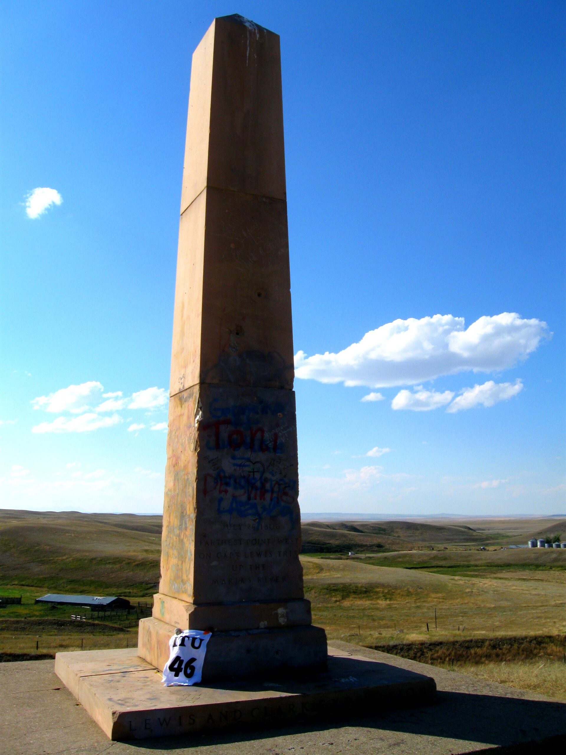
As I turned east for a short time, I considered reworking my original route. I did not come up to ride a long rally and ride hard to place well, but I wanted to finish in a respectable position. So as I collected the northern-most Lewis position Bonus 103 obelisk, I started kicking back a bit and took in the wonderful afternoon temperature and light.
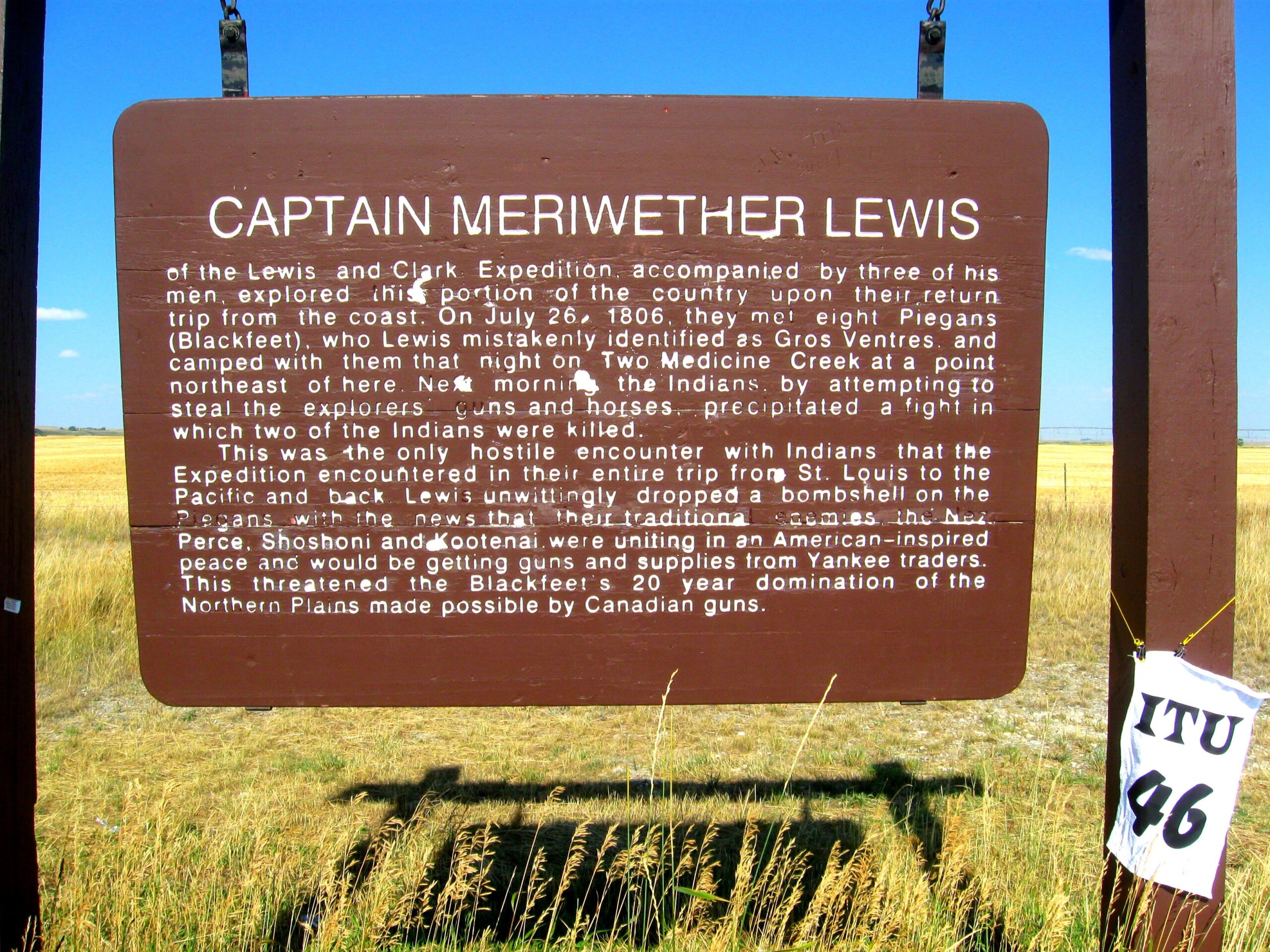
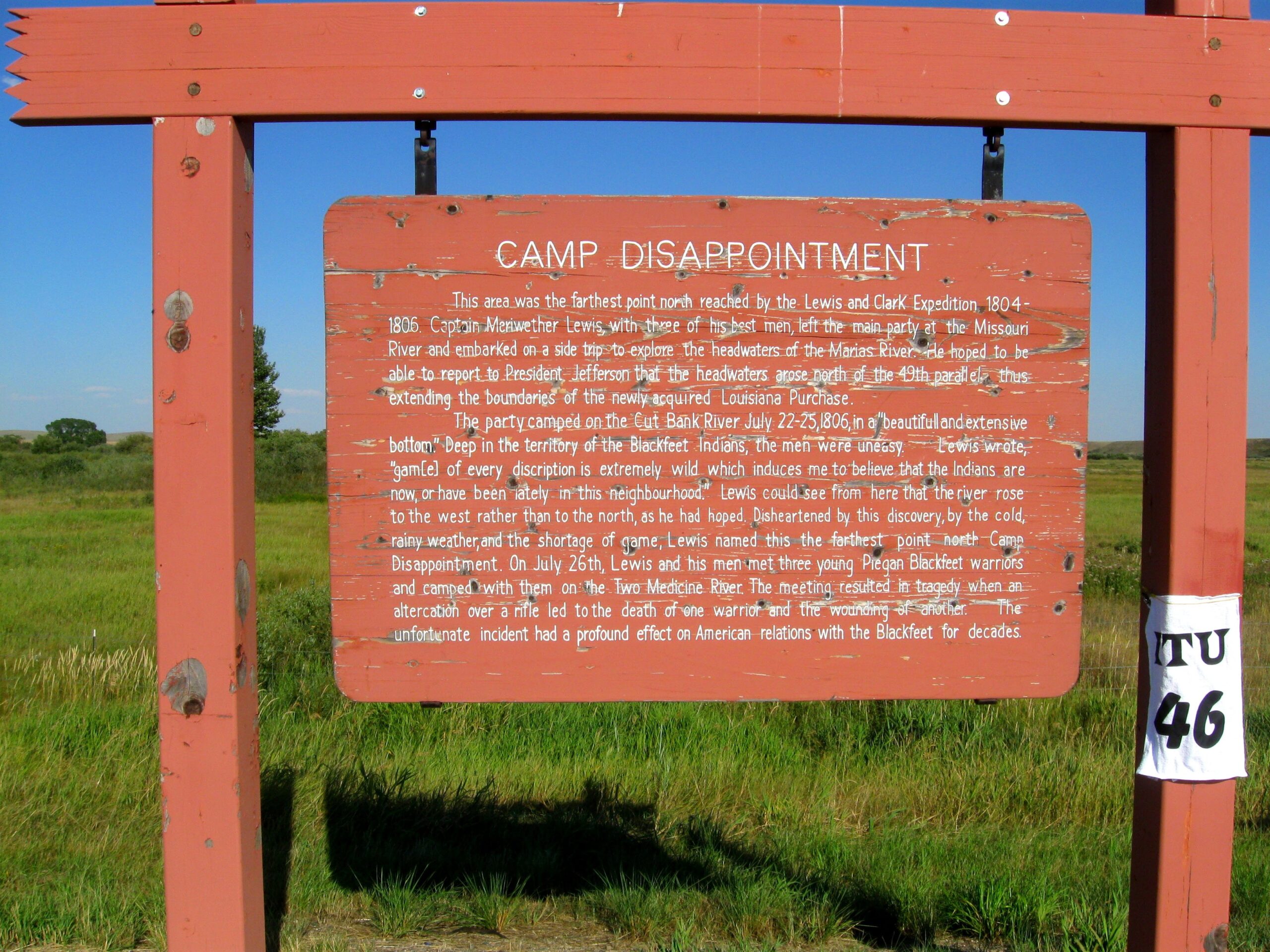
Capt. Lewis and his group continued north on the Marias River to see if it provided the path across the mountains confined within the 50 degree parallel that bounded the new purchase of the United States . When he realized it was not to be he wrote in his journals; “..northern branch of Maria’s river ….being convinced that this stream came from the mountains I determined to pursue it as it will lead me to the most no[r]thern point to which the waters of Maria’s river extend which I now fear will not be as far north as I wished and expected. … we pursued it untill dark and not finding any timber halted and made a fire of the dung of the buffaloe. … our provision is nearly out, … …we set out biding a last adieu to this place which I now call camp disappointment. “
Bonus 104 was very similar to the Obelisk in that it documented the northern-most point in Lewis’ journey. This brought me within 25 miles of the Canadian border.
Once over the continental divide Lewis and his group had returned to the plains and the area subscribed by the Louisiana Purchase that now defined the boundary of the United States. It has been a long ride for you up to this northernmost point. Of the land you have covered Lewis wrote in his journals: “much rejoiced at finding ourselves in the plains of the Missouri which abound with game…it is now the season at which the buffaloe begin to coppelate and the bulls keep a tremendious roaring we could hear them for many miles and there are such numbers of them that there is one continual roar. .. When I arrived in sight of the white-bear Islands the missouri bottoms on both sides of the river were crouded with buffaloe I sincerely belief that there were not less than 10 thousand buffaloe within a circle of 2 miles arround that place.”
I started running into other riders at Bonus 105, well into the wheat fields that were mostly now harvested.
Lewis and his colleagues knew the Marias was Blackfeet Indian territory—and therefore dangerous. On July 26 (1806) eight Blackfeet spotted them. The Blackfeet seemed friendly, and the two groups decided to camp together. Taking no chances, Lewis’s men took turns to stand guard through the night. In the morning one of the Indians snatched a pair of rifles, and in the struggle that followed two Indians died. Lewis and his men rode off, covering 120 miles (190 kilometers) in 24 hours, not knowing whether Blackfeet were giving chase. These were the only casualties of the entire expedition.
Bonus 106 was on the interstate. Once I documented that one, I felt good about the “100’s” thread that would give me a finish in the experienced class. I decided to drop the high-point bonuses to the east and started thinking about starting another new thread around Great Falls with a stop there for a sleep.
Capt. Lewis had left part of his group back in Great Falls and they were supposed to meet the small party returning with their buried stores from Camp Fortunate (part of the group that left with Capt. Clark). He passed through this area on his way back to meet the groups who were busy doing the portage around the falls with their canoe which they retreived. They covered 125 miles in the day after the incident which ended in the death of two indians north of this point and were reunited with their party. “… … being then within five miles of the grog spring we heared the report of several rifles very distinctly on the river to our right, we quickly repared to this joyfull sound and on arriving at the bank of the river had the unspeakable satisfaction to see our canoes coming down.”
Before starting the new thread of expedition path locations, I went to find the DDD Grizzly bonus along the river. It took a while to figure out how to get down to the river walk, but the high points were not to be ignored.
“I scelected a fat buffaloe and shot him very well, through the lungs; while I was gazeing attentively on the poor anamal…. a large white, or reather brown bear, had perceived and crept on me within 20 steps before I discovered him; in the first moment I drew up my gun to shoot, but at the same instant recolected that she was not loaded… in short there was no place by means of which I could conceal myself from this monster until I could charge my rifle; … I then run into the water…and faced about and presented the point of my espontoon, at this instant he arrived at the edge of the water within about 20 feet of me; the moment I put myself in this attitude of defence he sudonly wheeled about as if frightened, declined the combat on such unequal grounds, and retreated with quite as great precipitation as he had just before pursued me.”

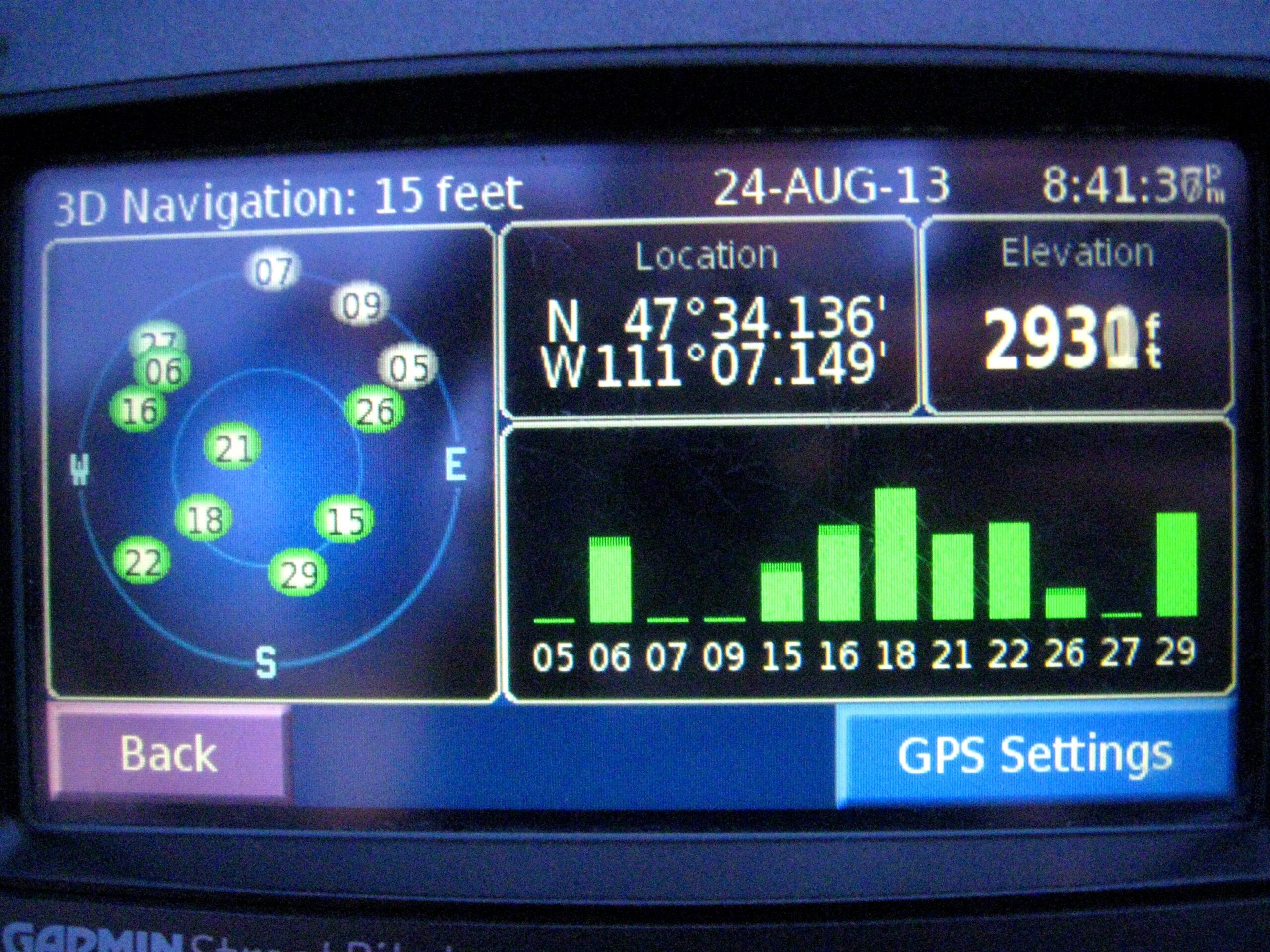
After the bear bonus, I needed fuel. This move confused my GPS, which pointed me then to Bonus 014 instead of 013 to start the new thread. I wasted time doing this, and then got off on a couple of bad turns to put me at the Ryan Dam Overlook fairly late. The bonus availability was documented to be until 9:00, but while I was recording my odometer and time, I heard the park worker locking the gate behind me. I photographed my GPS showing my position and 8:38 PM time, and shot a photo of the locked gate, which was fine for collecting the points.
One landmark would seal the deal on which way was correct. The Indians had talked about huge waterfalls that could not be navigated located on the Missouri. Lewis decided to march overland and In two days he arrived at the “sublimely grand specticle” of the falls. For two hours he sat on a rock overlooking the grandest sight he had ever beheld, and wrote at length of “the beauty of this majestically grand scenery.” Even then he felt that he could not do justice to “this truly magnifficent and sublimely grand object, which has from the commencement of time been concealed from the view of civilized man.” No small part of his rapture was derived from the certain knowledge that his decision at the Marias had been right.
I looked at the rally packet for Bonus 014 and saw its availability was until sunset, so I hung it up for the day and looked for a motel. I wound up with the Western Inn, and grabbed a bit to eat while talking with Deb. I looked over the bonuses collected for the day and had to throw out the grog bonus (whiskey) since I collected it in the middle of a thread and would lose points if claimed. I set the alarm for 5:30 and sleep came fairly easy.
August 25, 2013
At 3:30 in the morning, my neighbors decided to have a fairly vocal intimate moment. Once things settled down, I was wide awake. Might as well ride. I knew I could not bag Bonus 014 since the availability started at 8:00, so I set my sights on Bonus 015.
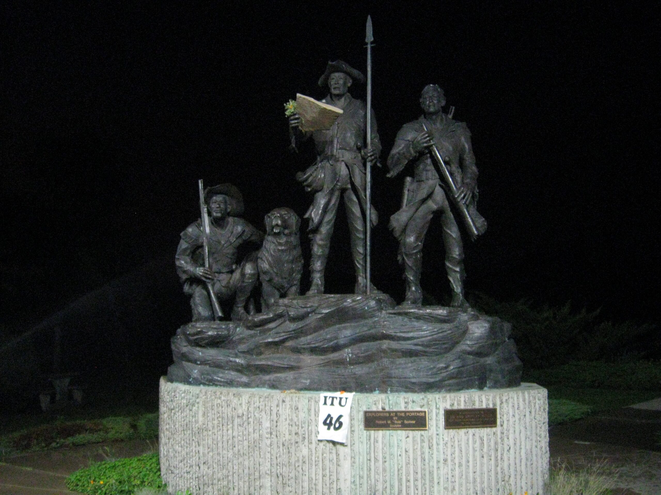
Bonus 015 was a statue of Lewis and Clark in Broadwater Overlook Park. It was simple to find even in the total darkness of 5 AM.
The expedition had to spend 31 days making an 18 mile arduous portage around the five falls. “This is particular[l]y severe on the feet of the men who have not only their own weight to bear in treading on those hacklelike points but have also the addition of the burthen which they draw and which in fact is as much as they can possibly move with. They are obliged to halt and rest frequently for a few minutes, at every halt these poor fellows tumble down and are so much fortiegued that many of them are asleep in an instant; in short their fatiegues are incredible; yet no one complains, all go with cheerfullness.”
I had troubles finding the right marker at the Portage Site Bonus 016 and wound up photographing the incorrect one. Likely the darkness and the “Day Use Only” sign on the gate that had me frazzled.

When taking the portage there were two separate camps. “Lower Falls” where everything was disassembled for over land transport and the “Upper Falls” camp where they reassembled everything to resume their travels down the river from the Great Falls area. This is near the site where the expedition set the “Upper Falls” camp. As for White Bear Island, from the Journals of Patrick Gass: In the evening, the most of the corps crossed over to an island, to attack and rout its monarch, a large brown bear, that held possession and seemed to defy all that would attempt to besiege him there. Our troops, however, stormed the place, gave no quarter, and its commander fell. Our army returned the same evening to camp without having suffered any loss on their side.
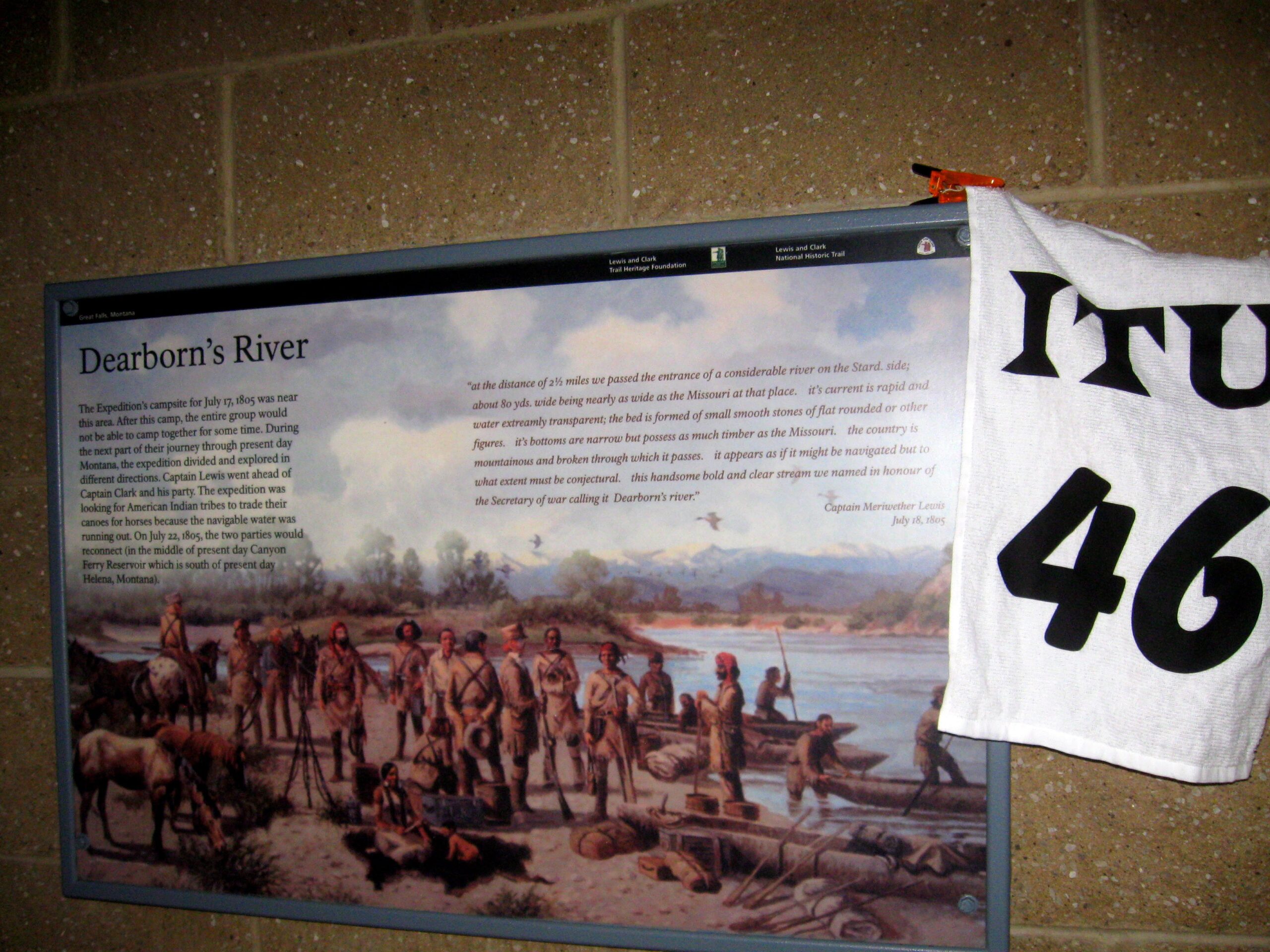
Bonus 017 was down the interstate and on the northbound side. The sunlight was starting to peek over the hills as I jaunted across the highway for the photo.
…we passed the entrance of a considerable river on the Stard. side; about 80 yds. wide being nearly as wide as the Missouri at that place. it’s current is rapid and water extreamly transparent; the bed is formed of small smooth stones of flat rounded or other figures. it’s bottoms are narrow but possess as much timber as the Missouri. the country is mountainous and broken through which it passes. it appears as if it might be navigated but to what extent must be conjectural. this handsome bold and clear stream we named in honour of the Secretary of war calling it Dearborn’s river.
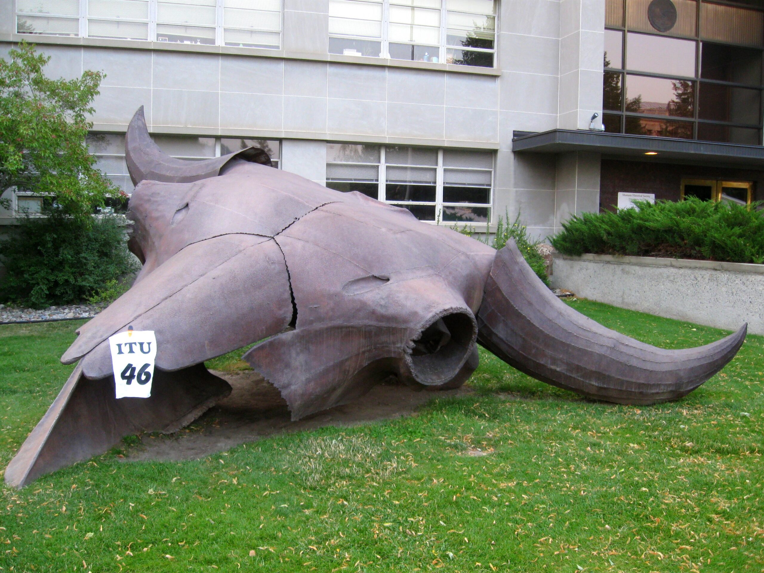
Bonus 018 had low points, and I already knew the thread was blown from earlier in Great Falls. To keep this thread going, I would have to ride past Helena, pick up this 018, and then ride back into Helena to grab the high point EEE buffalo skull photo. I went with the simple plan to get EEE and then 018. Here I ran into a couple riding two-up, and the Puckett father son team.
Critical to the success of the expedition were the ever present Buffalo on the Montana prairies. They tell of the Mandans dancing for buffalo during the terrible winter of 1804 (and a herd showing up the next day), the talk about almost getting killed by a rogue buffalo in the camp at night, they fed themselves on buffalo. They used dried dung to burn when there was no wood available and their hides to make articles of clothing (particularly “moccarsins”. When you are looking across those plains around Helena and Great Falls think of walking across that, with the prickly pear bushes and only buffalo hide to protect your feet.

Bonus 018 had low points, but was an easy pick, right off of the highway.
Traveling South from Great Falls Lewis and Clark had great relief in knowing they had followed the correct river. They also had great apprehension about finding the Shoshone tribe of Sacagawea so they could get horses to make the trip over the ever looming mountains that they were parallelling. From Clarks Journals: “Those mountains are high and a great perportion of them rocky; Vallies fertile . I observed on the highest pinicals of Some of the mountains to the West Snow lying in Spots Some Still further North are covered with Snow and cant be Seen from this point”
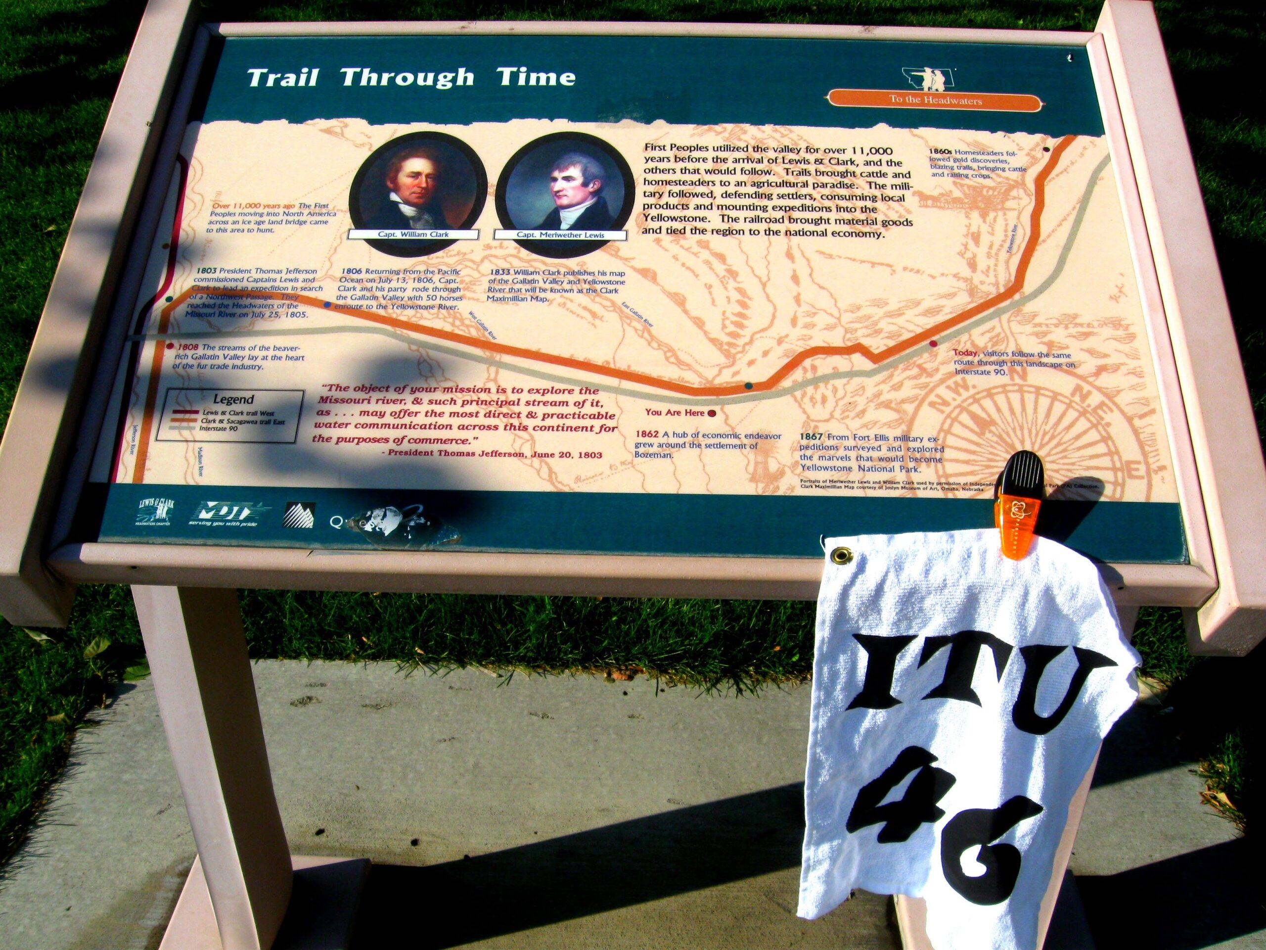
Bonus 039 was near the finish, the Bozeman rest area. This started a new thread of 4, which took their total of 1897 points up to 7588. This shows the value of staying on a thread as long as possible.
After the party split Clark, with most of the men and the horses traversed over the Bridger Mountains to the Yellowstone River. The stopped at Camp Fortunate to retreive stores they had buried the summer before. Most valued by the men was the tobacco they had left. “the most of the Party with me being Chewers of Tobacco become so impatient to be chewing it that they scercely gave themselves time to take their saddles off their horses before they were off to the deposit. … I gave to each man who used tobacco about two feet off a part of a role took one third of the ballance myself and put up 2/3 in a box to send down with the most of the articles which had been left at this place, by the canoes to Capt. Lewis.”

Bonus 040 Fort Ellis was not much further east.
The Clark group camped in this area July 14, 1806. It took about 1 day to get here from Camp Fortunate (Dillon, MT) where Clark had retrieved stores left last year and sent much of the provisions north with a group of men to meet up with Lewis who was exploring the Marias and would traverse back the Missouri. “…had all the baggage of the land party taken out of the canoes and after dinner the 6 canoes and the party of 10 men under the direction of Sergt. Ordway set out. Previous to their departur[e] I gave instructions how they were to proceed &c. I also wrote to Capt Lewis by Sergt. Ordway. …I observe Several leading roads which appear to pass to a gap of the mountain in a E. N E. direction about 18 or 20 miles distant. The indian woman who has been of great service to me as a pilot through this country recommends a gap in the mountain more south which I shall cross.
Bonus 041 was another historical marker not far away. I stated seeing more and more rally riders in this area doing the same as I was, nabbing as many of the bonuses right before the run to the finish.
The Clark expedition had difficulty finding timber to make canoes so continued to move up the Yellowstone until they found suitable timber. They had previously seen Indian smoke signals in the distance and now found 24 of their 50 horses missing. Assuming they had been stolen by the Indians, Capt. Clark devised a plan to send Sgt. Pryor and a small band to return to the Mandans with the remaining horses along with some instructions to prepare for their arrival (with the assistance of white traders in the area).
I checked my estimated finish time again, and decided I had enough leeway to make the out and back to Bonus 042.
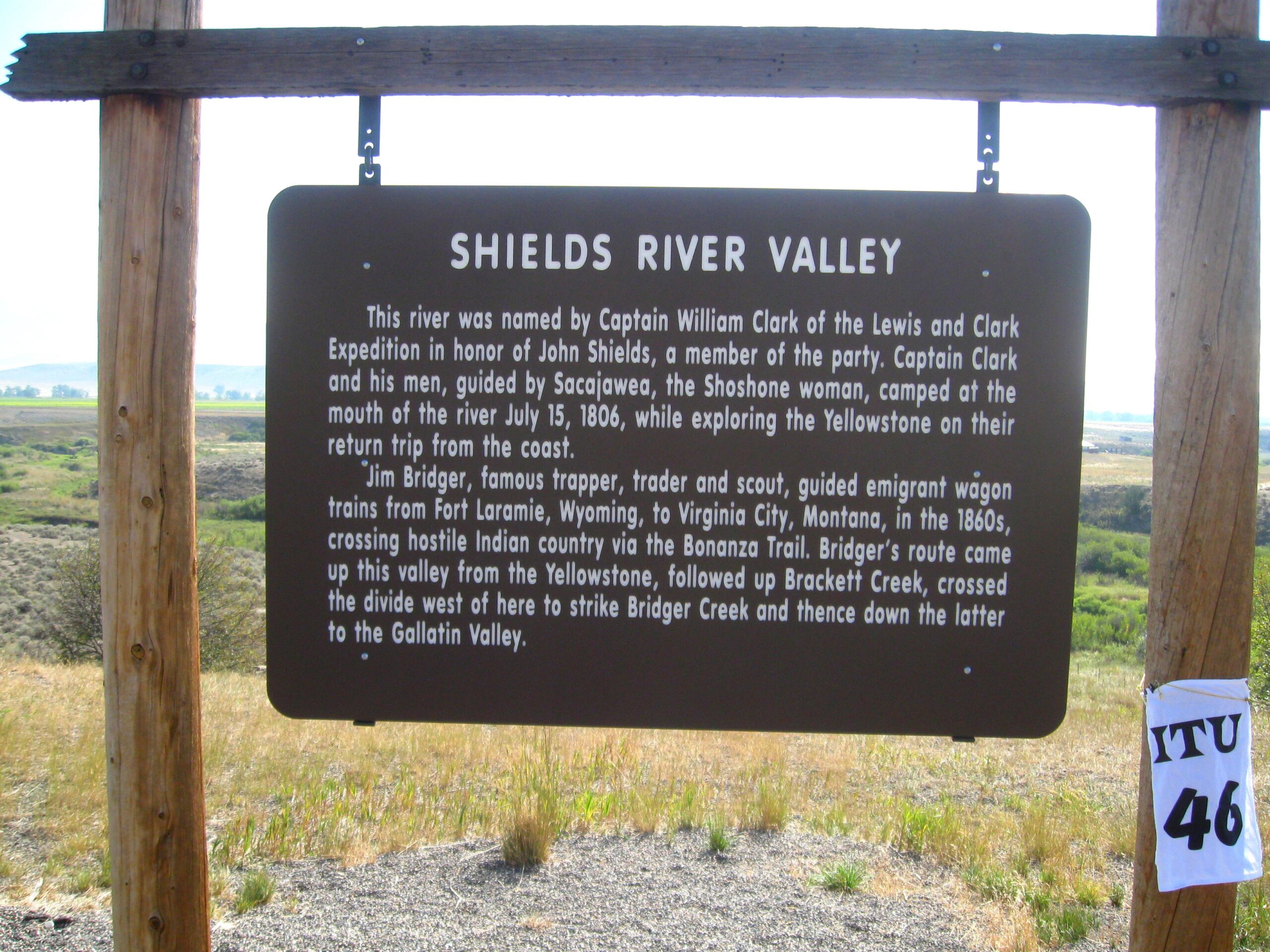
Camping at the mouth of this river Clark named it “The Shields River” after a key member of the expedition. Pryor was being sent back to the Mandans with critical instructions to prepare some of them to travel with the expedition. Lewis and Clark wanted the Mandans to designate some of their “Chiefs” to accompany the expedition back to the United States…. “We believe that the sureest guarantee of savage fidility to any nation is a thorough conviction on their minds that their government possesses the power of punishing promptly every act of aggression committed on their part against the person or property of their citizens; to produce this conviction without the use of violence, is the wish of our government; and to effect it, we cannot devise a more expedient method than that of takeing some of the best informed and most influential Chiefs with us to the U. States, where they will have an ample view of our population and resourses”

I was mostly done now with the rally route, and picked up the Grizzly Encounter Bonus JJJ.
“Fields returned and informed me that he had seen two white bear near the river a few miles above and in attempting to get a shoot [at] them had stumbled uppon a third which immediately made at him being only a few steps distant; that in runing in order to escape from the bear he had leaped down a steep bank of the river on a stony bar where he fell cut his hand bruised his knees and bent his gun, … this man has been truly unfortunate with these bear, this is the second time that he has narrowly excaped from them.”
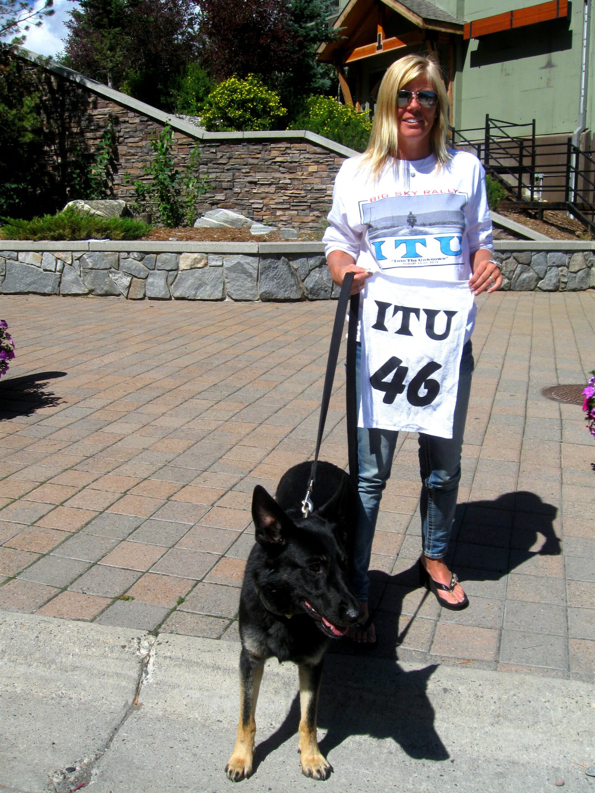
I checked my ETA, and it showed 12:20 PM. Plenty of time to get to the finish before the 1:00 PM deadline, at which time 1 second after all efforts would be wiped away. As I rode through Bozeman, I started worrying about the Sunday crowds who were walking and bicycling around downtown and driving with no intent to go anywhere quickly. Then as I made my way up the mountain, the weekend traffic also caught my attention and slowed my arrival time. I checked in with Ira at 12:38 after getting my final bonus, the PPP Dog Meat bonus good for 1300 points. Mercy posed with Sylvie Torter holding my rally flag.
Once over the Rocky mountains game was scarce to the ocean. The men took to trading with the indians for “fat dogs” which they would eat. From Clark’s journal; “…our diet extremely bad haveing nothing but roots and dried fish to eate, all the Party have greatly the advantage of me, in as much as they all relish the flesh of the dogs.”
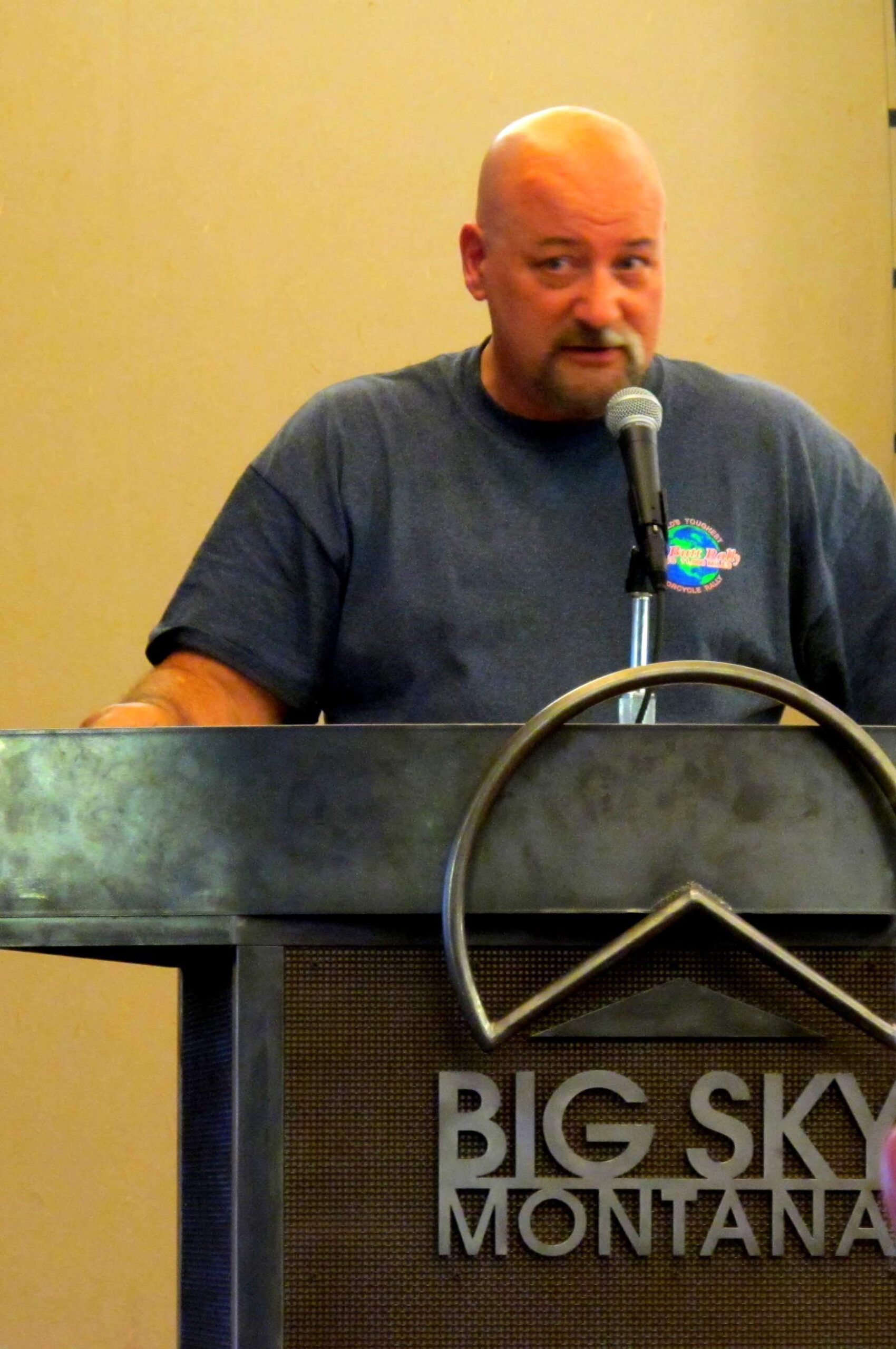
As part of the scoring start, Lisa Stevens gave me my “final exam” of 5 questions, and my three correct answers added another 900 points. She compared my log photos to the officials, and came up with a total of 164,061 points for the 32 hours. I was pleased with that. I put my stuff away, grabbed a beer and made my way up the slope to watch the finish of the AMA Pro Championship cross country race.
By the time I came back down the mountain, the lobby of the lodge was deserted. Everyone was back in their rooms getting sleep. I decided to do the same.
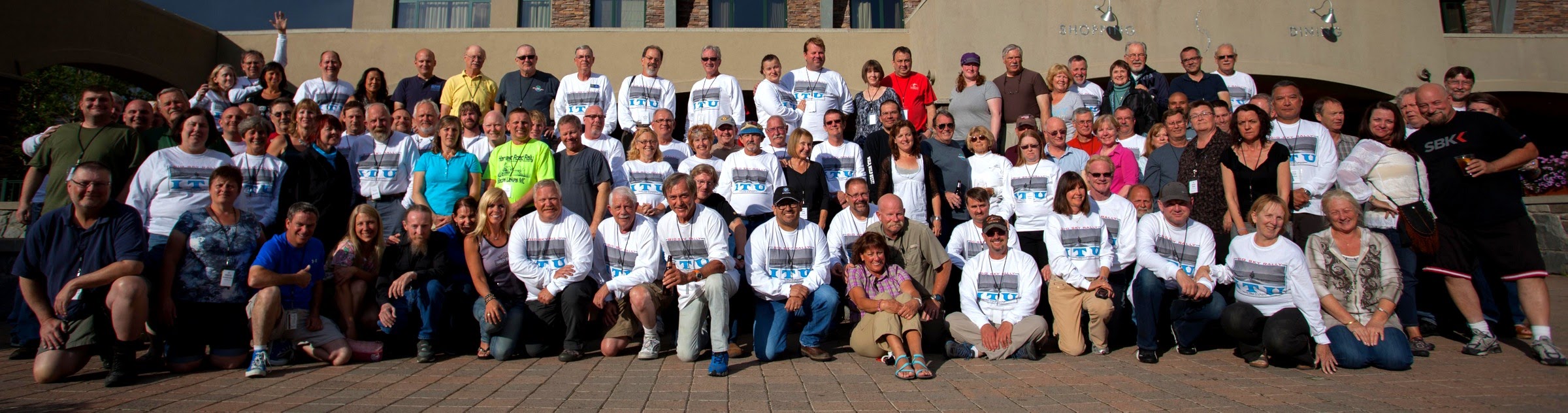
Photo credit Tobie Stevens
I was still groggy from the nap as I made my way to dinner. As soon as I sat down, Tobie gathered us for a group photo outside. Back inside again and dinner tasted absolutely great. I wound up sitting with the Torters, Mike Kneebone, and Samuel Park, the newspaper writer new kid on the block. This was his first rally, and he made quite an impression.
The awards presentation followed, and Josh Mountain finished first with an astounding 626,591 points. Second was Erik Lipps with 551,411 points. Erik also finished second behind Paul Tong in the Utah 1088. He said for me to tell Tong he was coming down to the Big Tex Rally with vengeance… Third was Eric Bray with 461,188 points. I finished the ITU 22nd overall out of 63 and 7th in my class. That’s fine by me as I rode up to Montana with touring in mind and not pure competition. Sleep came easy this evening.
Tracklog https://www.alltrails.com/explore/recording/20130825bigskyiturally
August 26, 2013
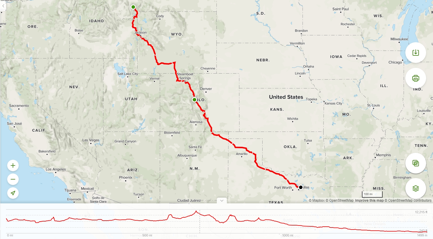
What a spectacular ride into Colorado today! I left Big Sky at 6 AM just as the sky was starting to show deep shades of blue above the mountains. Temperatures were in the 40’s, but I had gear on to keep warm on the ride. My route took me down the west side of the Tetons through Jackson, WY. By the time I fueled again in Rock Springs, I shed the jacket liner and enjoyed the mid-day 70’s. Between Rock Springs and the Colorado border, there’s not much to speak about. But riding south out of Steamboat Springs, the story gets very intriguing.
After cresting the pass, the sunlight behind me illuminated the sage and aspens perfectly. The road just kept getting better and better and Highway 40 has now claimed my award for my most favorite ride ever. The pavement was smooth and traffic almost nonexistent, and the challenging turn after turn was invigorating. The combination of warm, evening sunlight and dark thunderclouds to my side added to the experience.

By the time I reached Breckenridge, it was obvious I had to put full rain gear on to cross Hoosier pass. The temperature dropped, and I carefully negotiated the 10 mph turns up the climb. The rain waned a bit at the 11,500 foot Hoosier Pass. I arrived at the historic Valiton Hotel in Fairplay at 7:30 greeted by friendly staff. Just finished a tasty green chile burger, and getting ready for rest prior to the 800-mile return to Texas. As Tom says, “Life is good.” Tomorrow, I see the love of my life. Although the ride has been good, it’s been a bit too long away from her…
August 27, 2013
It was a chilly start to the morning with temperatures in the 30’s. The bike was still wet from the afternoon rains. I packed up around 6:00, fueled and started down the winding Hwy 9 to the interstate.
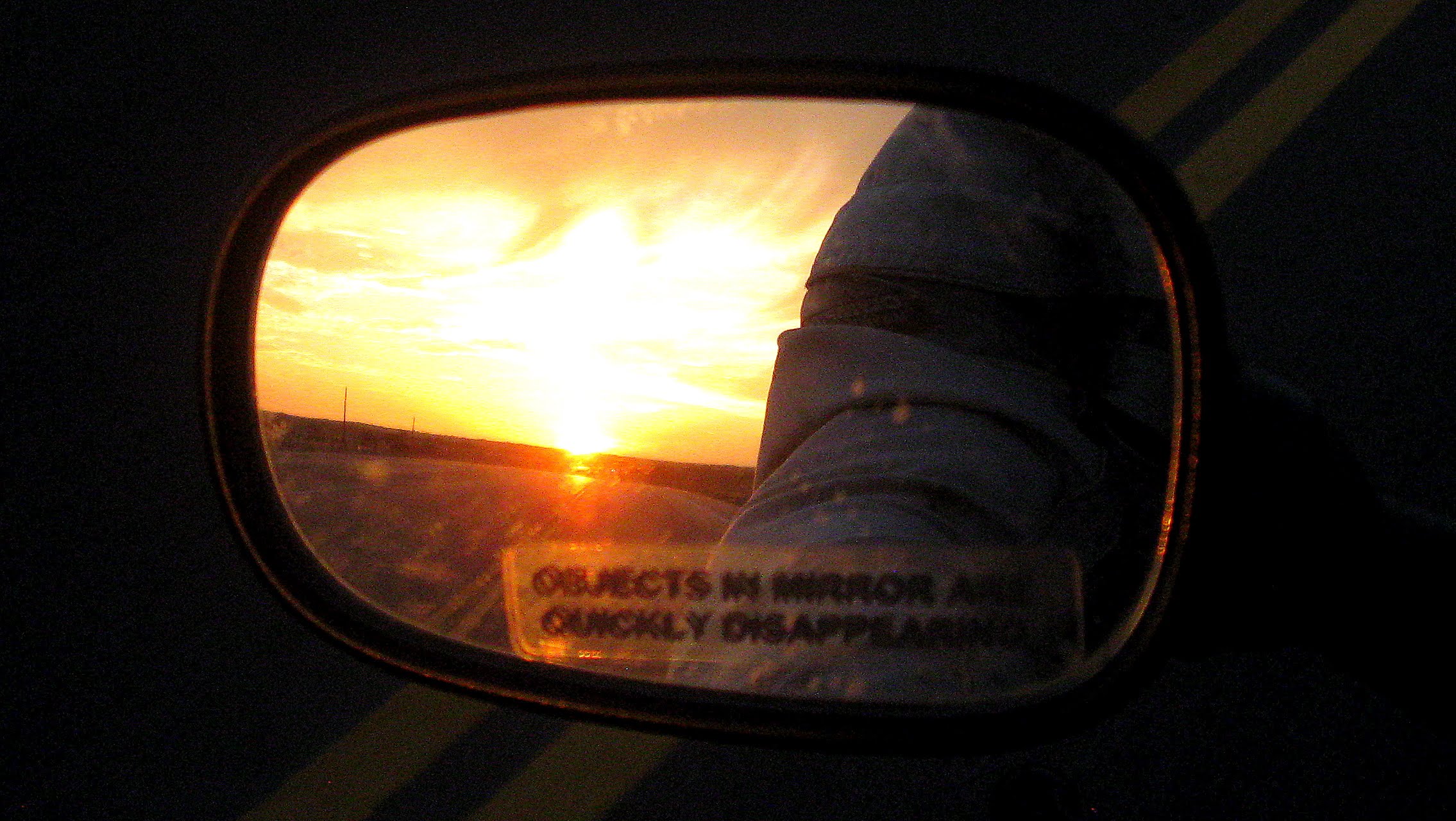
As I got into traffic on Hwy 50 heading towards Pueblo, I decided to drop back off onto the back roads and took 67 to 165 for an early-morning technical ride through the mountains. Once I hit I-25 over Raton Pass and 64 on into Texas, the ride became a return commute from Colorado back into Texas. The temperature climbed into the high 90’s and I wished for more rain, but only an occasional cloud would give me a break from the sun. Returning into the metromess is not my favorite thing, but returning to Deb made it all better.
Tracklog https://www.alltrails.com/explore/recording/210130823bigskyiturallyout
Tracklog https://www.alltrails.com/explore/recording/20130826bigskyreturn

That is a most interesting report and we thank you for writing it. We enjoyed meeting you and look forward to seeing you again in the near future. By the way, we may need to take away the points for the dog meat bonus. That’s Mercy with Sylvie not Lola.
Ride safe(ly) and thanks again
Bob & Sylvie
I fixed Mercy’s name in the blog. Thanks for not taking those points away!
In case you are interested, I made a time lapse video of my entire 31 hour ride and included images of my bonus submissions along the way:
https://youtu.be/y9h9CphDnl8